5 Olde Lane Rd Bristol, NH 03222
Estimated Value: $383,673 - $535,000
4
Beds
2
Baths
1,235
Sq Ft
$384/Sq Ft
Est. Value
About This Home
This home is located at 5 Olde Lane Rd, Bristol, NH 03222 and is currently estimated at $474,668, approximately $384 per square foot. 5 Olde Lane Rd is a home located in Grafton County with nearby schools including Bristol Elementary School.
Ownership History
Date
Name
Owned For
Owner Type
Purchase Details
Closed on
Jul 13, 2021
Sold by
Feltz James J and Feltz Denise D
Bought by
James J Feltz Lt
Current Estimated Value
Purchase Details
Closed on
May 27, 2014
Sold by
Robert E Gabler Ret
Bought by
Feltz James J and Feltz Denise D
Create a Home Valuation Report for This Property
The Home Valuation Report is an in-depth analysis detailing your home's value as well as a comparison with similar homes in the area
Home Values in the Area
Average Home Value in this Area
Purchase History
| Date | Buyer | Sale Price | Title Company |
|---|---|---|---|
| James J Feltz Lt | -- | None Available | |
| Feltz James J | -- | -- |
Source: Public Records
Mortgage History
| Date | Status | Borrower | Loan Amount |
|---|---|---|---|
| Previous Owner | Feltz James J | $100,000 |
Source: Public Records
Tax History Compared to Growth
Tax History
| Year | Tax Paid | Tax Assessment Tax Assessment Total Assessment is a certain percentage of the fair market value that is determined by local assessors to be the total taxable value of land and additions on the property. | Land | Improvement |
|---|---|---|---|---|
| 2024 | $5,340 | $226,100 | $139,200 | $86,900 |
| 2023 | $5,144 | $226,100 | $139,200 | $86,900 |
| 2022 | $4,746 | $226,100 | $139,200 | $86,900 |
| 2021 | $4,569 | $226,100 | $139,200 | $86,900 |
| 2020 | $5,282 | $255,300 | $168,400 | $86,900 |
| 2019 | $3,931 | $172,400 | $100,800 | $71,600 |
| 2018 | $3,713 | $170,300 | $100,800 | $69,500 |
| 2017 | $3,769 | $170,300 | $100,800 | $69,500 |
| 2016 | $3,512 | $170,300 | $100,800 | $69,500 |
| 2015 | $3,468 | $172,300 | $97,500 | $74,800 |
| 2014 | $3,468 | $172,300 | $97,500 | $74,800 |
| 2013 | $3,477 | $172,300 | $97,500 | $74,800 |
Source: Public Records
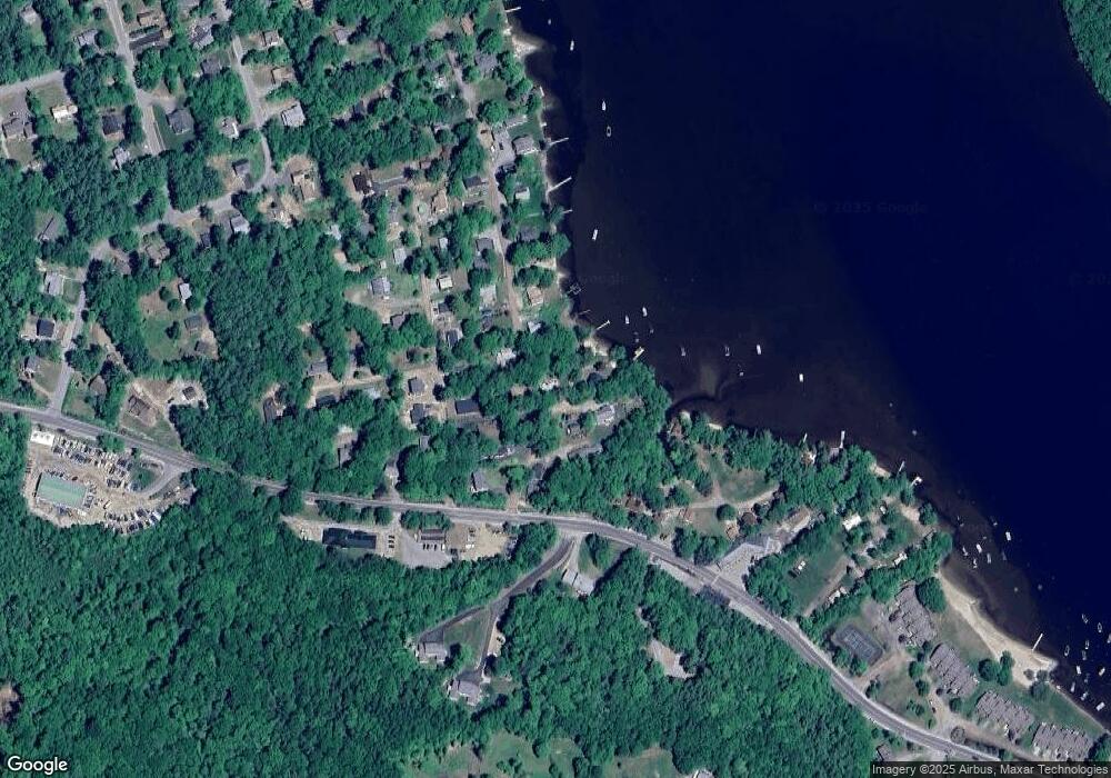
Map
Nearby Homes
- 35 Manor Estates Dr Unit 14
- 383 Wulamat Rd
- 26 Don Gerry Rd
- 199 Cottage City Rd
- 40 Adams Rd
- 114 Ledgewood Terrace
- 94 Mandi Ln
- 29 Daniels Rd
- Lot 7 Hall Rd
- 862 Mayhew Turnpike Unit 1
- 333 Lake St
- 125 Verrill Rd
- 4 Birchwood Dr Unit A
- 150 Peaked Hill Rd
- 135 Pleasant St
- 30 Beech St Unit 4B
- 30 Beech St Unit 4C
- 80 Patten Rd
- 301 Perkins Hill Rd
- 497 W Shore Rd
- 8 Woodland Rd
- 6 Olde Lane Rd
- 45 Browns Beach Rd
- 17 Juniper Rd Unit B
- 17 Juniper Rd Unit A
- 1 Juniper Rd Unit A
- 1 Juniper Rd Unit c
- 121 Browns Beach Rd
- 16 Woodland Rd
- 25 Browns Beach Rd
- 51 Browns Beach Rd
- 18 Browns Beach Rd
- 15 Browns Beach Rd
- 34 Lakeview Ave
- 26 Lakeview Ave
- 60 Browns Beach Rd
- 42 Lakeview Ave
- 10 Browns Beach Rd
- 61 Browns Beach Rd
- 11 Browns Beach Rd