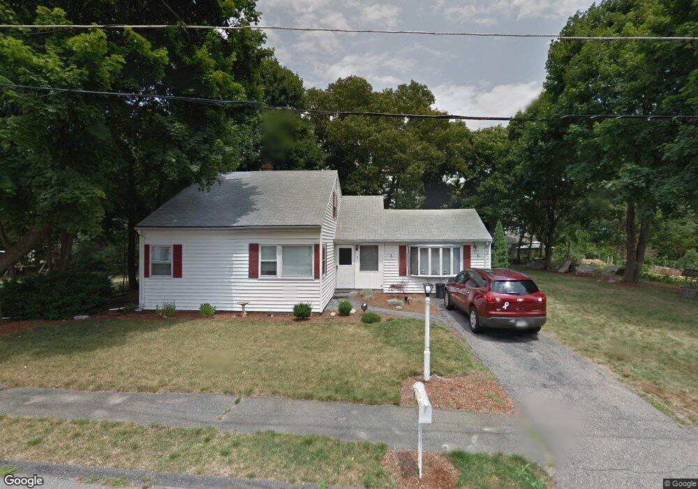
5 Phillips St Woburn, MA 01801
Mishawum NeighborhoodEstimated Value: $709,275 - $789,000
4
Beds
2
Baths
1,707
Sq Ft
$448/Sq Ft
Est. Value
About This Home
This home is located at 5 Phillips St, Woburn, MA 01801 and is currently estimated at $764,069, approximately $447 per square foot. 5 Phillips St is a home located in Middlesex County with nearby schools including Wyman Elementary School, John F. Kennedy Middle School, and Woburn High School.
Ownership History
Date
Name
Owned For
Owner Type
Purchase Details
Closed on
Apr 25, 2008
Sold by
Maguire Ft and Maguire
Bought by
Mcmahon Timothy
Current Estimated Value
Home Financials for this Owner
Home Financials are based on the most recent Mortgage that was taken out on this home.
Original Mortgage
$323,916
Interest Rate
6.22%
Mortgage Type
Purchase Money Mortgage
Purchase Details
Closed on
Jan 7, 2005
Sold by
Maguire Joseph W
Bought by
Maguire Tr James and Rockwood Laureen
Create a Home Valuation Report for This Property
The Home Valuation Report is an in-depth analysis detailing your home's value as well as a comparison with similar homes in the area
Home Values in the Area
Average Home Value in this Area
Purchase History
| Date | Buyer | Sale Price | Title Company |
|---|---|---|---|
| Mcmahon Timothy | $329,000 | -- | |
| Mcmahon Timothy | $329,000 | -- | |
| Maguire Tr James | -- | -- | |
| Maguire Tr James | -- | -- |
Source: Public Records
Mortgage History
| Date | Status | Borrower | Loan Amount |
|---|---|---|---|
| Open | Maguire Tr James | $322,364 | |
| Closed | Mcmahon Timothy | $323,916 | |
| Previous Owner | Maguire Tr James | $20,000 |
Source: Public Records
Tax History Compared to Growth
Tax History
| Year | Tax Paid | Tax Assessment Tax Assessment Total Assessment is a certain percentage of the fair market value that is determined by local assessors to be the total taxable value of land and additions on the property. | Land | Improvement |
|---|---|---|---|---|
| 2025 | $5,390 | $631,100 | $362,900 | $268,200 |
| 2024 | $4,967 | $616,200 | $345,600 | $270,600 |
| 2023 | $4,869 | $559,700 | $314,100 | $245,600 |
| 2022 | $4,705 | $503,800 | $273,200 | $230,600 |
| 2021 | $4,438 | $475,700 | $260,200 | $215,500 |
| 2020 | $4,247 | $455,700 | $260,200 | $195,500 |
| 2019 | $4,152 | $437,100 | $247,800 | $189,300 |
| 2018 | $3,992 | $403,600 | $227,300 | $176,300 |
| 2017 | $3,788 | $381,100 | $216,500 | $164,600 |
| 2016 | $3,609 | $359,100 | $202,300 | $156,800 |
| 2015 | $3,466 | $340,800 | $189,100 | $151,700 |
| 2014 | $3,271 | $313,300 | $189,100 | $124,200 |
Source: Public Records
Map
Nearby Homes
- 52 Middle St
- 38 Middle St
- 0 Fryeburg Rd
- 3 Highet Ave
- 4 Maywood Terrace
- 6 Callahan Dr
- 8 Clinton St
- 74 Beach St Unit 6-12
- 74 Beach St Unit 3
- 12 Mishawum Rd
- 20 Barbara Cir
- 104 Forest Park Rd
- 3 Hart St
- 602 Main St Unit 1
- 166 Place Ln Unit 166
- 168 Place Ln
- 18 Hamilton Rd
- 14 Church Ave
- 14 Church Ave Unit 2
- 37 1/2 Chestnut St
- 7 Phillips St
- 3 Phillips St
- 2 Carpenter Ct
- 4 Carpenter Ct
- 4 Phillips St
- 9 Phillips St
- 9 Phillips St Unit 1
- 1 Phillips St
- 2 Phillips St
- 70 Middle St
- 8 Phillips St
- 3 Carpenter Ct
- 6 Phillips St
- 6 Phillips St Unit R
- 4 Elaine Rd
- 72 Middle St
- 1 A Red Leaf Unit A
- 1 Red Leaf Ln
- 1 Red Leaf Ln Unit A
- 6 Elaine Rd