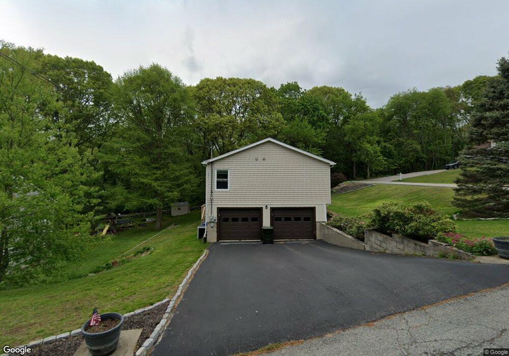
5 Phoenix Dr Groton, CT 06340
Estimated Value: $446,943 - $545,000
4
Beds
3
Baths
2,166
Sq Ft
$225/Sq Ft
Est. Value
About This Home
This home is located at 5 Phoenix Dr, Groton, CT 06340 and is currently estimated at $487,736, approximately $225 per square foot. 5 Phoenix Dr is a home located in New London County with nearby schools including Pleasant Valley School, Groton Middle School, and Robert E. Fitch High School.
Ownership History
Date
Name
Owned For
Owner Type
Purchase Details
Closed on
Jan 5, 1993
Sold by
Herllein James and Osen David
Bought by
Jean Ronald and Jean Catherine
Current Estimated Value
Home Financials for this Owner
Home Financials are based on the most recent Mortgage that was taken out on this home.
Original Mortgage
$130,000
Interest Rate
8%
Mortgage Type
Unknown
Purchase Details
Closed on
May 3, 1988
Sold by
Caster Edward
Bought by
Herllein James
Create a Home Valuation Report for This Property
The Home Valuation Report is an in-depth analysis detailing your home's value as well as a comparison with similar homes in the area
Home Values in the Area
Average Home Value in this Area
Purchase History
| Date | Buyer | Sale Price | Title Company |
|---|---|---|---|
| Jean Ronald | $130,000 | -- | |
| Herllein James | $165,500 | -- |
Source: Public Records
Mortgage History
| Date | Status | Borrower | Loan Amount |
|---|---|---|---|
| Closed | Herllein James | $20,000 | |
| Closed | Herllein James | $20,000 | |
| Closed | Herllein James | $141,600 | |
| Closed | Herllein James | $130,000 |
Source: Public Records
Tax History
| Year | Tax Paid | Tax Assessment Tax Assessment Total Assessment is a certain percentage of the fair market value that is determined by local assessors to be the total taxable value of land and additions on the property. | Land | Improvement |
|---|---|---|---|---|
| 2025 | $6,396 | $225,540 | $95,984 | $129,556 |
| 2024 | $6,040 | $225,540 | $95,984 | $129,556 |
| 2023 | $5,819 | $225,540 | $40,460 | $185,080 |
| 2022 | $5,677 | $225,540 | $40,460 | $185,080 |
| 2021 | $5,207 | $174,090 | $40,460 | $133,630 |
| 2020 | $5,219 | $174,090 | $40,460 | $133,630 |
| 2019 | $5,007 | $174,090 | $40,460 | $133,630 |
| 2018 | $4,988 | $174,090 | $40,460 | $133,630 |
| 2017 | $4,723 | $174,090 | $40,460 | $133,630 |
| 2016 | $4,507 | $176,540 | $53,410 | $123,130 |
| 2015 | $4,362 | $176,540 | $53,410 | $123,130 |
| 2014 | $4,198 | $176,540 | $53,410 | $123,130 |
Source: Public Records
Map
Nearby Homes
- 322 Virgo Dr
- 31 Pegasus Dr
- 274 Virgo Dr
- 23 Skyview Terrace
- 435 Military Hwy Unit 449
- 0 Briar Hill Rd Unit 24148389
- 125 Murphys Dr Unit 125
- 310 Lestertown Rd
- 141 Starr Hill Rd
- 22 Toll Gate Rd
- 6 John Ave
- 41 Riverview Ave
- 1010 Long Cove Rd Unit LOT 17
- 108 Thames St
- 0 Bonnie Cir
- 101 Old Norwich Rd
- 99 Pamela Ave
- 132 Thames St Unit R
- 517-571 Gold Star Hwy
- 1513 Connecticut 12
Your Personal Tour Guide
Ask me questions while you tour the home.