5 Pitcairn Way Ipswich, MA 01938
Estimated Value: $1,465,227 - $1,632,000
4
Beds
4
Baths
4,371
Sq Ft
$351/Sq Ft
Est. Value
About This Home
This home is located at 5 Pitcairn Way, Ipswich, MA 01938 and is currently estimated at $1,535,807, approximately $351 per square foot. 5 Pitcairn Way is a home located in Essex County with nearby schools including Ipswich High School and Clark School.
Ownership History
Date
Name
Owned For
Owner Type
Purchase Details
Closed on
Apr 15, 2021
Sold by
Bitencourt Eva N
Bought by
5 Pitcairn Way Rt
Current Estimated Value
Purchase Details
Closed on
Oct 19, 2001
Sold by
Freda Corp
Bought by
Bitencourt Va Nira
Home Financials for this Owner
Home Financials are based on the most recent Mortgage that was taken out on this home.
Original Mortgage
$439,900
Interest Rate
6.92%
Mortgage Type
Purchase Money Mortgage
Purchase Details
Closed on
Nov 28, 2000
Sold by
Bgt T and Tiro Anthony V
Bought by
Meola Ralph and Freda Italo
Create a Home Valuation Report for This Property
The Home Valuation Report is an in-depth analysis detailing your home's value as well as a comparison with similar homes in the area
Home Values in the Area
Average Home Value in this Area
Purchase History
| Date | Buyer | Sale Price | Title Company |
|---|---|---|---|
| 5 Pitcairn Way Rt | -- | None Available | |
| Bitencourt Va Nira | $549,900 | -- | |
| Meola Ralph | $132,500 | -- |
Source: Public Records
Mortgage History
| Date | Status | Borrower | Loan Amount |
|---|---|---|---|
| Previous Owner | Meola Ralph | $417,000 | |
| Previous Owner | Meola Ralph | $465,000 | |
| Previous Owner | Meola Ralph | $439,900 | |
| Previous Owner | Meola Ralph | $300,000 |
Source: Public Records
Tax History Compared to Growth
Tax History
| Year | Tax Paid | Tax Assessment Tax Assessment Total Assessment is a certain percentage of the fair market value that is determined by local assessors to be the total taxable value of land and additions on the property. | Land | Improvement |
|---|---|---|---|---|
| 2025 | $15,614 | $1,400,400 | $350,600 | $1,049,800 |
| 2024 | $14,598 | $1,282,800 | $350,500 | $932,300 |
| 2023 | $13,931 | $1,139,100 | $324,300 | $814,800 |
| 2022 | $13,017 | $1,012,200 | $280,800 | $731,400 |
| 2021 | $12,723 | $962,400 | $285,100 | $677,300 |
| 2020 | $12,596 | $898,400 | $261,200 | $637,200 |
| 2019 | $12,201 | $865,900 | $254,600 | $611,300 |
| 2018 | $12,301 | $863,800 | $252,500 | $611,300 |
| 2017 | $11,908 | $839,200 | $250,300 | $588,900 |
| 2016 | $12,079 | $813,400 | $241,600 | $571,800 |
| 2015 | $10,988 | $813,300 | $241,500 | $571,800 |
Source: Public Records
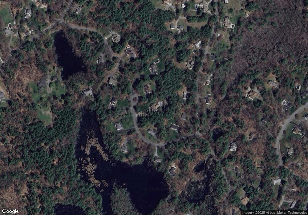
Map
Nearby Homes
- 29 Charlotte Rd
- 37 East St
- 43 Willowdale Rd
- 54 Willowdale Rd
- 88 Haverhill Rd
- 14 Pond St
- 4 Ruby Cir
- 8 Mansion Dr
- 75 Country Club Way
- 1 Court Ln
- 16 Killam Hill Rd
- 3 Choate Ln
- 46 Buttonwood
- 61 Maplecroft Ln
- 30 Buttonwood
- 196 Country Club Way
- 76-78 Daniels Rd
- 8 Longmeadow Dr Unit 14
- 16 Cedarwood Ln
- 58 Washington St