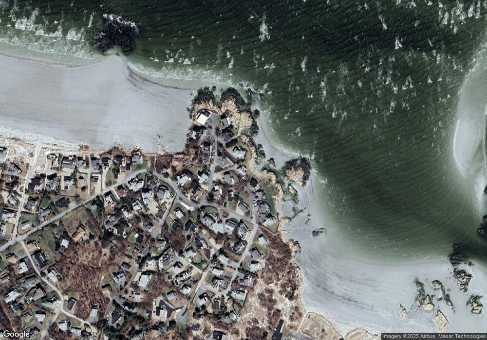
5 Point Rd Gloucester, MA 01930
West Gloucester NeighborhoodEstimated Value: $1,137,000 - $3,333,000
3
Beds
2
Baths
1,118
Sq Ft
$2,122/Sq Ft
Est. Value
About This Home
This home is located at 5 Point Rd, Gloucester, MA 01930 and is currently estimated at $2,371,905, approximately $2,121 per square foot. 5 Point Rd is a home located in Essex County with nearby schools including West Parish, Ralph B O'maley Middle School, and Gloucester High School.
Ownership History
Date
Name
Owned For
Owner Type
Purchase Details
Closed on
Apr 3, 2025
Sold by
Devine Donna E and Meuse Marianne
Bought by
Clear View 2025 T and Devine
Current Estimated Value
Purchase Details
Closed on
Mar 16, 2010
Sold by
Meuse Tr Marianne and Devine Donna E
Bought by
Devine Donna E and Devine Paul P
Home Financials for this Owner
Home Financials are based on the most recent Mortgage that was taken out on this home.
Original Mortgage
$350,000
Interest Rate
5.02%
Mortgage Type
Purchase Money Mortgage
Create a Home Valuation Report for This Property
The Home Valuation Report is an in-depth analysis detailing your home's value as well as a comparison with similar homes in the area
Home Values in the Area
Average Home Value in this Area
Purchase History
| Date | Buyer | Sale Price | Title Company |
|---|---|---|---|
| Clear View 2025 T | -- | None Available | |
| Clear View 2025 T | -- | None Available | |
| Clear View 2025 T | -- | None Available | |
| Devine Donna E | -- | -- | |
| Devine Donna E | -- | -- |
Source: Public Records
Mortgage History
| Date | Status | Borrower | Loan Amount |
|---|---|---|---|
| Previous Owner | Devine Donna E | $337,000 | |
| Previous Owner | Devine Donna E | $350,000 |
Source: Public Records
Tax History
| Year | Tax Paid | Tax Assessment Tax Assessment Total Assessment is a certain percentage of the fair market value that is determined by local assessors to be the total taxable value of land and additions on the property. | Land | Improvement |
|---|---|---|---|---|
| 2025 | $28,341 | $2,915,700 | $2,498,200 | $417,500 |
| 2024 | $27,154 | $2,790,800 | $2,379,800 | $411,000 |
| 2023 | $25,591 | $2,416,500 | $2,030,000 | $386,500 |
| 2022 | $23,641 | $2,015,400 | $1,689,300 | $326,100 |
| 2021 | $23,041 | $1,852,200 | $1,535,900 | $316,300 |
| 2020 | $22,513 | $1,825,900 | $1,535,900 | $290,000 |
| 2019 | $21,935 | $1,728,500 | $1,464,400 | $264,100 |
| 2018 | $21,609 | $1,671,200 | $1,428,700 | $242,500 |
| 2017 | $21,039 | $1,595,100 | $1,360,000 | $235,100 |
| 2016 | $16,810 | $1,235,100 | $1,064,200 | $170,900 |
| 2015 | $16,459 | $1,205,800 | $1,040,000 | $165,800 |
Source: Public Records
Map
Nearby Homes
- 226 Atlantic St
- 178 Atlantic St
- 167 Atlantic St
- 672 Washington St
- 2 Breezy Point Rd
- 13 Honeysuckle Rd
- 3 Deacon Farm Ln
- 7 Colburn St
- 31 Echo Ave
- 1030 Washington St
- 43 High St Unit B
- 10 Emerald St
- 13 Mystic Ave
- 8 Mystic Ave
- 7 Leaman Dr
- 5 Samoset Rd Unit B
- 6 Monroe Ct
- 98 Maplewood Ave
- 145 Essex Ave Unit 402
- 9 Cleveland Place
Your Personal Tour Guide
Ask me questions while you tour the home.