5 Pond Edge Ln Ipswich, MA 01938
Estimated Value: $1,213,748 - $1,361,000
4
Beds
3
Baths
3,017
Sq Ft
$422/Sq Ft
Est. Value
About This Home
This home is located at 5 Pond Edge Ln, Ipswich, MA 01938 and is currently estimated at $1,274,187, approximately $422 per square foot. 5 Pond Edge Ln is a home located in Essex County with nearby schools including Ipswich High School, Clark School, and North Shore Montessori School.
Ownership History
Date
Name
Owned For
Owner Type
Purchase Details
Closed on
Dec 23, 2005
Sold by
Grp Loan Llc
Bought by
Hayes Maureen and Speropolous George
Current Estimated Value
Purchase Details
Closed on
Nov 25, 2005
Sold by
Cerundolo Frederick R
Bought by
Grp Ag Reo 1 Llc
Purchase Details
Closed on
Oct 28, 1999
Sold by
Savage Charles K and Savage Alice H
Bought by
Cerundolo Frederick
Purchase Details
Closed on
Apr 8, 1999
Sold by
Pitcairn Alexander
Bought by
Savage Charles and Savage Alice
Purchase Details
Closed on
Feb 6, 1992
Sold by
Pond Edge Rt
Bought by
Savage Charles and Savage Alice
Create a Home Valuation Report for This Property
The Home Valuation Report is an in-depth analysis detailing your home's value as well as a comparison with similar homes in the area
Home Values in the Area
Average Home Value in this Area
Purchase History
| Date | Buyer | Sale Price | Title Company |
|---|---|---|---|
| Hayes Maureen | $558,000 | -- | |
| Grp Ag Reo 1 Llc | $628,735 | -- | |
| Cerundolo Frederick | $485,000 | -- | |
| Savage Charles | $3,500 | -- | |
| Savage Charles | $97,000 | -- |
Source: Public Records
Mortgage History
| Date | Status | Borrower | Loan Amount |
|---|---|---|---|
| Open | Savage Charles | $249,000 | |
| Closed | Savage Charles | $217,000 |
Source: Public Records
Tax History Compared to Growth
Tax History
| Year | Tax Paid | Tax Assessment Tax Assessment Total Assessment is a certain percentage of the fair market value that is determined by local assessors to be the total taxable value of land and additions on the property. | Land | Improvement |
|---|---|---|---|---|
| 2025 | $13,578 | $1,217,800 | $436,200 | $781,600 |
| 2024 | $12,873 | $1,131,200 | $436,500 | $694,700 |
| 2023 | $11,435 | $935,000 | $327,600 | $607,400 |
| 2022 | $11,039 | $858,400 | $312,400 | $546,000 |
| 2021 | $10,873 | $822,500 | $316,700 | $505,800 |
| 2020 | $10,570 | $753,900 | $281,900 | $472,000 |
| 2019 | $10,259 | $728,100 | $275,300 | $452,800 |
| 2018 | $10,028 | $704,200 | $251,400 | $452,800 |
| 2017 | $9,910 | $698,400 | $262,300 | $436,100 |
| 2016 | $10,052 | $676,900 | $253,500 | $423,400 |
| 2015 | $8,975 | $664,300 | $253,500 | $410,800 |
Source: Public Records
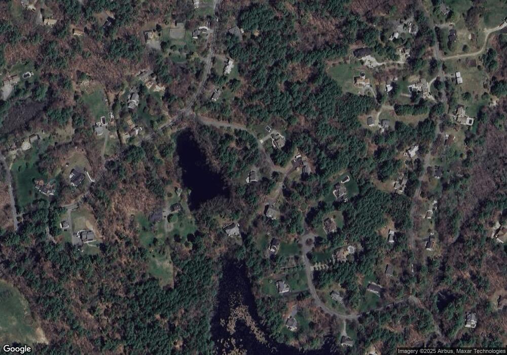
Map
Nearby Homes
- 29 Charlotte Rd
- 37 East St
- 43 Willowdale Rd
- 14 Pond St
- 88 Haverhill Rd
- 54 Willowdale Rd
- 8 Mansion Dr
- 4 Ruby Cir
- 75 Country Club Way
- 16 Killam Hill Rd
- 1 Court Ln
- 3 Choate Ln
- 196 Country Club Way
- 46 Buttonwood
- 61 Maplecroft Ln
- 30 Buttonwood
- 76-78 Daniels Rd
- 8 Longmeadow Dr Unit 14
- 16 Cedarwood Ln
- 58 Washington St
- 3 Pond Edge Ln
- 7 Pond Edge Ln
- 10 Pitcairn Way
- 4 Pond Edge Ln
- 6 Pond Edge Ln
- 12 Pitcairn Way
- 392 Linebrook Rd
- 388 Linebrook Rd
- 9 Pitcairn Way
- 7 Pitcairn Way
- 396 Linebrook Rd
- 8 Pitcairn Way
- 386 Linebrook Rd
- 5 Pitcairn Way
- 419 Linebrook Rd
- 3 Pitcairn Way
- 25 Plains Rd
- 19 Plains Rd
- 415 Linebrook Rd
- 382 Linebrook Rd