5 Prescott Ln Weston, MA 02493
Estimated Value: $2,238,957 - $3,266,000
5
Beds
6
Baths
4,782
Sq Ft
$552/Sq Ft
Est. Value
About This Home
This home is located at 5 Prescott Ln, Weston, MA 02493 and is currently estimated at $2,637,739, approximately $551 per square foot. 5 Prescott Ln is a home located in Middlesex County with nearby schools including Country Elementary School, Woodland Elementary School, and Weston Middle School.
Create a Home Valuation Report for This Property
The Home Valuation Report is an in-depth analysis detailing your home's value as well as a comparison with similar homes in the area
Home Values in the Area
Average Home Value in this Area
Tax History Compared to Growth
Tax History
| Year | Tax Paid | Tax Assessment Tax Assessment Total Assessment is a certain percentage of the fair market value that is determined by local assessors to be the total taxable value of land and additions on the property. | Land | Improvement |
|---|---|---|---|---|
| 2025 | $19,728 | $1,777,300 | $808,200 | $969,100 |
| 2024 | $19,288 | $1,734,500 | $808,200 | $926,300 |
| 2023 | $19,300 | $1,630,100 | $808,200 | $821,900 |
| 2022 | $18,838 | $1,470,600 | $763,100 | $707,500 |
| 2021 | $18,191 | $1,401,500 | $726,700 | $674,800 |
| 2020 | $5,766 | $1,351,000 | $726,700 | $624,300 |
| 2019 | $16,261 | $1,291,600 | $672,900 | $618,700 |
| 2018 | $5,173 | $1,291,600 | $672,900 | $618,700 |
| 2017 | $4,859 | $1,277,600 | $672,900 | $604,700 |
| 2016 | $15,536 | $1,277,600 | $672,900 | $604,700 |
| 2015 | $15,087 | $1,228,600 | $640,900 | $587,700 |
Source: Public Records
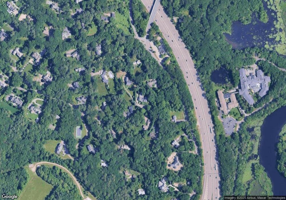
Map
Nearby Homes
- 103 Loring Rd
- 217 Summer St
- 707 South St
- 2202 Commonwealth Ave Unit 2
- 2202 Commonwealth Ave Unit 1
- 27 Oakwood Rd
- 283 Melrose St
- 49 Newton St
- 4 Willow Rd
- 17 Lasell St
- 60 Possum Rd
- 49 Staniford St
- 41 Orchard Ave
- 226 Auburn St Unit 226
- 224 Auburn St Unit 224
- 224 Auburn St Unit A
- 17 Deforest Rd
- 62-64 Rowe St Unit B
- 60 Rolling Ln
- 160 Pine St Unit 12