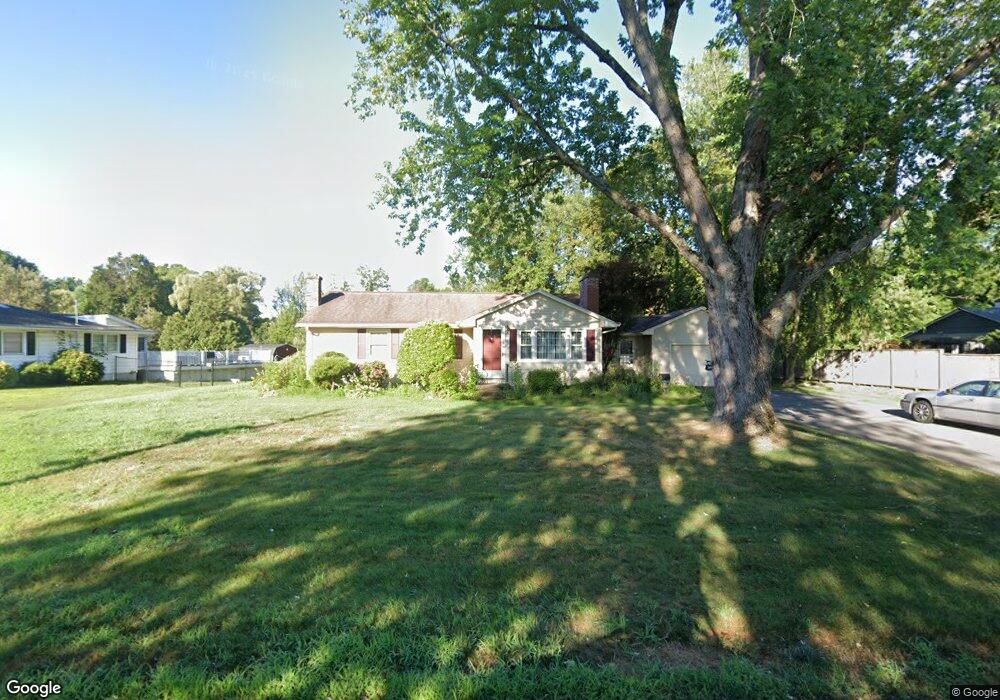
5 Primrose Path Hatfield, MA 01038
Estimated Value: $406,000 - $491,000
3
Beds
1
Bath
1,314
Sq Ft
$341/Sq Ft
Est. Value
About This Home
This home is located at 5 Primrose Path, Hatfield, MA 01038 and is currently estimated at $447,686, approximately $340 per square foot. 5 Primrose Path is a home located in Hampshire County with nearby schools including Hatfield Elementary School and Smith Academy.
Ownership History
Date
Name
Owned For
Owner Type
Purchase Details
Closed on
Jun 22, 2007
Sold by
Mcgrath Eileen E
Bought by
Mcgrath Brian D and Mcgrath David J
Current Estimated Value
Purchase Details
Closed on
Mar 12, 2004
Sold by
Mcgrath James E and Mcgrath Anis M
Bought by
Mcgrath Michael J and Mcgrath Eileen E
Create a Home Valuation Report for This Property
The Home Valuation Report is an in-depth analysis detailing your home's value as well as a comparison with similar homes in the area
Home Values in the Area
Average Home Value in this Area
Purchase History
| Date | Buyer | Sale Price | Title Company |
|---|---|---|---|
| Mcgrath Brian D | -- | -- | |
| Mcgrath Michael J | -- | -- |
Source: Public Records
Mortgage History
| Date | Status | Borrower | Loan Amount |
|---|---|---|---|
| Previous Owner | Mcgrath Michael J | $35,000 |
Source: Public Records
Tax History
| Year | Tax Paid | Tax Assessment Tax Assessment Total Assessment is a certain percentage of the fair market value that is determined by local assessors to be the total taxable value of land and additions on the property. | Land | Improvement |
|---|---|---|---|---|
| 2025 | $5,648 | $408,100 | $191,000 | $217,100 |
| 2024 | $5,463 | $356,800 | $167,300 | $189,500 |
| 2023 | $4,552 | $337,700 | $158,200 | $179,500 |
| 2022 | $4,328 | $316,600 | $151,000 | $165,600 |
| 2021 | $4,109 | $289,600 | $136,400 | $153,200 |
| 2020 | $3,918 | $289,600 | $136,400 | $153,200 |
| 2019 | $3,784 | $272,400 | $130,900 | $141,500 |
| 2018 | $3,663 | $269,700 | $130,900 | $138,800 |
| 2017 | $3,502 | $264,900 | $127,300 | $137,600 |
| 2016 | $3,395 | $257,600 | $120,000 | $137,600 |
| 2015 | $3,306 | $251,000 | $110,900 | $140,100 |
| 2014 | $3,181 | $251,100 | $110,900 | $140,200 |
Source: Public Records
Map
Nearby Homes
- 58 Main St Unit 4
- 58 Main St Unit 3
- 18 Elm St
- 0 Straits Rd
- 115 Elm St Unit 7B
- 12 Dwight St
- 0 Pantry Rd Unit 73430264
- 11 West St
- 0 N Branch Rd
- 66 Laurel Park Unit 66
- 71 Russell St
- 26 Russell St Unit A-B
- 151 Pantry Rd
- 32 Stonewall Dr
- 182 Old Stage Rd
- 80 Damon Rd Unit 5104
- 2 Scott Ln
- 83 Bay Rd
- 88 Pines Edge Dr Unit 88
- Lot 3 Roosevelt St
- 7 Primrose Path
- 3 Primrose Path
- 1 Primrose Path
- 2 Pleasant View Dr
- 9 Primrose Path
- 4 Primrose Path
- 1 Pleasant View Dr
- 2 Primrose Path
- 44 School St
- 11 Primrose Path
- 4 Chestnut St
- 4 Pleasant View Dr
- 40 School St
- 6 Primrose Path
- 3 Pleasant View Dr
- 13 Primrose Path
- 6 Pleasant View Dr
- 38 School St
- 5 Pleasant View Dr
- 8 Primrose Path