5 Random Ln Andover, MA 01810
Estimated Value: $820,000 - $1,004,000
4
Beds
3
Baths
2,458
Sq Ft
$370/Sq Ft
Est. Value
About This Home
This home is located at 5 Random Ln, Andover, MA 01810 and is currently estimated at $908,957, approximately $369 per square foot. 5 Random Ln is a home located in Essex County with nearby schools including Bancroft Elementary School, Doherty Middle School, and Andover High School.
Ownership History
Date
Name
Owned For
Owner Type
Purchase Details
Closed on
Jul 6, 2007
Sold by
Deinnocentis David V and Minton Helena C
Bought by
Wallace John Forest and Burrall-Wallace Hope
Current Estimated Value
Home Financials for this Owner
Home Financials are based on the most recent Mortgage that was taken out on this home.
Original Mortgage
$260,000
Interest Rate
6.39%
Mortgage Type
Purchase Money Mortgage
Purchase Details
Closed on
Jan 25, 1989
Sold by
Dion Keith T
Bought by
Deinnocentis David
Create a Home Valuation Report for This Property
The Home Valuation Report is an in-depth analysis detailing your home's value as well as a comparison with similar homes in the area
Purchase History
| Date | Buyer | Sale Price | Title Company |
|---|---|---|---|
| Wallace John Forest | $451,000 | -- | |
| Deinnocentis David | $251,000 | -- |
Source: Public Records
Mortgage History
| Date | Status | Borrower | Loan Amount |
|---|---|---|---|
| Open | Deinnocentis David | $260,500 | |
| Closed | Wallace John Forest | $260,000 | |
| Previous Owner | Deinnocentis David | $45,000 | |
| Previous Owner | Deinnocentis David | $43,000 |
Source: Public Records
Tax History
| Year | Tax Paid | Tax Assessment Tax Assessment Total Assessment is a certain percentage of the fair market value that is determined by local assessors to be the total taxable value of land and additions on the property. | Land | Improvement |
|---|---|---|---|---|
| 2024 | $9,611 | $746,200 | $471,900 | $274,300 |
| 2023 | $9,274 | $678,900 | $425,000 | $253,900 |
| 2022 | $8,522 | $583,700 | $369,600 | $214,100 |
| 2021 | $8,148 | $532,900 | $336,000 | $196,900 |
| 2020 | $7,814 | $520,600 | $327,900 | $192,700 |
| 2019 | $7,727 | $506,000 | $318,200 | $187,800 |
| 2018 | $7,493 | $479,100 | $306,100 | $173,000 |
| 2017 | $7,157 | $471,500 | $300,000 | $171,500 |
| 2016 | $6,988 | $471,500 | $300,000 | $171,500 |
| 2015 | $6,741 | $450,300 | $288,300 | $162,000 |
Source: Public Records
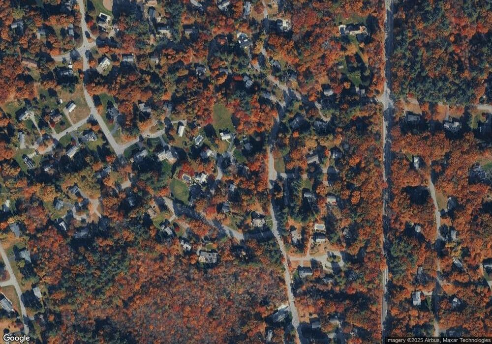
Map
Nearby Homes
- 344 S Main St
- 23 Belknap Dr
- 133B Salem
- 56 Sunset Rock Rd
- 11 Wyncrest Cir
- 3 West Hollow
- 16 Porter Rd
- 4 Hammond Way
- 47 Harold Parker Rd
- 31 Porter Rd
- 57 Salem St
- 49 Salem St
- 52 Salem St
- 5 Colonial Dr Unit B5-6
- 154 Main St
- 11 Cogswell Rd
- 37 Sullivan St
- 3 Torr St
- 18 Dale St Unit 9D
- 12 B Chester Rd Unit D
Your Personal Tour Guide
Ask me questions while you tour the home.