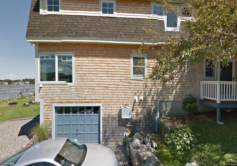
5 Reef Knot Way Gloucester, MA 01930
Estimated Value: $603,000 - $1,167,948
2
Beds
1
Bath
1,024
Sq Ft
$919/Sq Ft
Est. Value
About This Home
This home is located at 5 Reef Knot Way, Gloucester, MA 01930 and is currently estimated at $940,737, approximately $918 per square foot. 5 Reef Knot Way is a home located in Essex County with nearby schools including Beeman Memorial, Ralph B O'maley Middle School, and Gloucester High School.
Ownership History
Date
Name
Owned For
Owner Type
Purchase Details
Closed on
Dec 28, 2018
Sold by
Garvin Barry
Bought by
Garvin Barry and Garvin Kristen
Current Estimated Value
Purchase Details
Closed on
Dec 15, 2008
Sold by
Jones Jason W and Jones Rebecca L
Bought by
Garvin Barry
Purchase Details
Closed on
Apr 13, 2005
Sold by
Dorothy Rebecca L and Jones Rebecca L
Bought by
Jones Jason W
Create a Home Valuation Report for This Property
The Home Valuation Report is an in-depth analysis detailing your home's value as well as a comparison with similar homes in the area
Purchase History
| Date | Buyer | Sale Price | Title Company |
|---|---|---|---|
| Garvin Barry | -- | -- | |
| Garvin Barry | $390,000 | -- | |
| Jones Jason W | -- | -- |
Source: Public Records
Mortgage History
| Date | Status | Borrower | Loan Amount |
|---|---|---|---|
| Previous Owner | Jones Jason W | $170,000 | |
| Previous Owner | Jones Jason W | $417,000 | |
| Previous Owner | Jones Jason W | $150,000 |
Source: Public Records
Tax History
| Year | Tax Paid | Tax Assessment Tax Assessment Total Assessment is a certain percentage of the fair market value that is determined by local assessors to be the total taxable value of land and additions on the property. | Land | Improvement |
|---|---|---|---|---|
| 2025 | $10,649 | $1,095,600 | $497,800 | $597,800 |
| 2024 | $10,431 | $1,072,000 | $474,200 | $597,800 |
| 2023 | $9,821 | $927,400 | $404,500 | $522,900 |
| 2022 | $9,511 | $810,800 | $352,100 | $458,700 |
| 2021 | $9,179 | $737,900 | $319,800 | $418,100 |
| 2020 | $9,141 | $741,400 | $319,800 | $421,600 |
| 2019 | $8,703 | $685,800 | $304,900 | $380,900 |
| 2018 | $8,415 | $650,800 | $297,500 | $353,300 |
| 2017 | $8,162 | $618,800 | $283,500 | $335,300 |
| 2016 | $7,799 | $573,000 | $271,200 | $301,800 |
| 2015 | $7,426 | $544,000 | $265,000 | $279,000 |
Source: Public Records
Map
Nearby Homes
- 3 Deacon Farm Ln
- 31 Echo Ave
- 13 Honeysuckle Rd
- 2 Breezy Point Rd
- 672 Washington St
- 13 Mystic Ave
- 3 Rockland St
- 8 Mystic Ave
- 6 Monroe Ct
- 98 Maplewood Ave
- 167 Atlantic St
- 9 Cleveland Place
- 12 Arthur St
- 178 Atlantic St
- 40 Sargent St
- 226 Atlantic St
- 19 Trask St Unit 2
- 15 Harvard St
- 50 Warner St
- 33 Maplewood Ave Unit 310
- 3 Reef Knot Way
- 4 Reef Knot Way
- 474 Washington St
- 470 Washington St
- 476 Washington St
- 480 Washington St
- 468 Washington St
- 480A Washington St
- 464 Washington St
- 482 Washington St
- 462 Washington St
- 486 Washington St
- 483 Washington St
- 485 Washington St
- 3 Piraino Ln
- 3 Piraino Ln Unit 1
- 3 Piraino Ln Unit 3
- 5 Piraino Ln
- 5 Piraino Ln Unit 5
- 489 Washington St
Your Personal Tour Guide
Ask me questions while you tour the home.