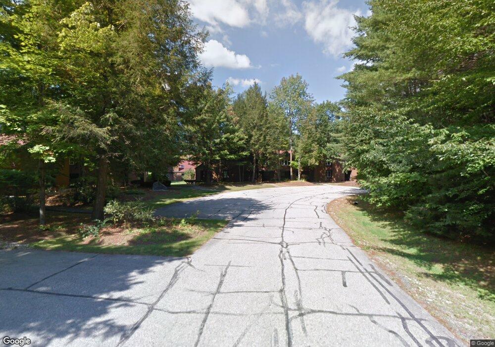
5 Ridge Drive A Unit 3 Woodstock, NH 03262
Estimated Value: $489,000 - $592,000
2
Beds
3
Baths
1,602
Sq Ft
$333/Sq Ft
Est. Value
About This Home
This home is located at 5 Ridge Drive A Unit 3, Woodstock, NH 03262 and is currently estimated at $533,782, approximately $333 per square foot. 5 Ridge Drive A Unit 3 is a home located in Grafton County with nearby schools including Lin-Wood Public Elementary School, Lin-Wood Public Middle School, and Lin-Wood Public High School.
Ownership History
Date
Name
Owned For
Owner Type
Purchase Details
Closed on
Feb 1, 2011
Sold by
Hannaford Rita F and Moran Margaret A
Bought by
Riley Timothy J and Riley Michelle A
Current Estimated Value
Home Financials for this Owner
Home Financials are based on the most recent Mortgage that was taken out on this home.
Original Mortgage
$144,000
Outstanding Balance
$98,769
Interest Rate
4.83%
Mortgage Type
Purchase Money Mortgage
Estimated Equity
$435,013
Create a Home Valuation Report for This Property
The Home Valuation Report is an in-depth analysis detailing your home's value as well as a comparison with similar homes in the area
Home Values in the Area
Average Home Value in this Area
Purchase History
| Date | Buyer | Sale Price | Title Company |
|---|---|---|---|
| Riley Timothy J | $180,000 | -- |
Source: Public Records
Mortgage History
| Date | Status | Borrower | Loan Amount |
|---|---|---|---|
| Open | Riley Timothy J | $144,000 |
Source: Public Records
Tax History Compared to Growth
Tax History
| Year | Tax Paid | Tax Assessment Tax Assessment Total Assessment is a certain percentage of the fair market value that is determined by local assessors to be the total taxable value of land and additions on the property. | Land | Improvement |
|---|---|---|---|---|
| 2024 | $5,566 | $273,900 | $0 | $273,900 |
| 2023 | $5,325 | $273,900 | $0 | $273,900 |
| 2022 | $5,034 | $273,900 | $0 | $273,900 |
| 2021 | $5,204 | $273,900 | $0 | $273,900 |
| 2020 | $5,464 | $273,900 | $0 | $273,900 |
| 2019 | $3,713 | $171,200 | $0 | $171,200 |
| 2018 | $3,426 | $171,200 | $0 | $171,200 |
| 2016 | $3,405 | $171,200 | $0 | $171,200 |
| 2015 | $3,241 | $171,200 | $0 | $171,200 |
| 2014 | $3,242 | $171,600 | $0 | $171,600 |
| 2012 | $3,220 | $180,100 | $0 | $180,100 |
Source: Public Records
Map
Nearby Homes
- 14 Adams Dr Unit 12
- 252-254 Lost River Rd
- 443 Eastside Rd
- 25 Main St
- 206-011 Lost River Rd
- 23 Oakes St
- 56 Kancamagus Hwy
- 6 Monroe Dr Unit 111
- 11 Cascade Dr Unit 288
- 17 Ridge Dr Unit A-14
- 164 Deer Park Dr Unit 160D
- 164 Deer Park Dr Unit 161D
- 164 Deer Park Dr Unit 168D
- 156 Deer Park Dr Unit 135 A
- 164 Deer Park Dr Unit 173A
- 20 Condo Rd Unit 3
- 65 Riverfront Dr Unit 217
- 45 Riverfront Dr Unit 242
- 16 Riverfront Dr Unit 293
- 16 Riverfront Dr Unit 292
- 10 Lakeside Dr W Unit 60
- 120 Daniel Webster Hywy& van Allen Dr
- 00 Cox Farm
- Lot 001 Main
- 12 Ridge C Dr Unit 41
- 55-228 Riverfront Unit 228
- 41 Ridge "C" Unit 41
- 159D Notchbrook Unit 159D
- 40-303 Riverfront Dr Unit 303
- 147-1C Deer Park Dr Unit 147-1
- 27 Riverfront Drive (Deer Park) Unit 265
- 128T-C Deer Park Vq Unit 128T
- 49 Lakeside W Unit 49
- 143-2D Deer Park Unit 143-2
- 33 Riverfront Drive (Deer Park Resort) Unit 248
- 16-293 Riverfront Dr Unit 293
- 33 Ridge Dr Unit 33
- 9-19 Ridge Dr Unit 9-19
- 10 Ridge Dr Unit 10
- 14 Ridge A Unit 14