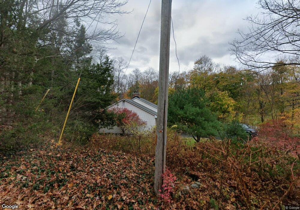
5 Robinson Rd Palmer, MA 01069
Estimated Value: $336,750 - $453,000
2
Beds
1
Bath
1,176
Sq Ft
$314/Sq Ft
Est. Value
About This Home
This home is located at 5 Robinson Rd, Palmer, MA 01069 and is currently estimated at $369,688, approximately $314 per square foot. 5 Robinson Rd is a home located in Hampden County with nearby schools including Old Mill Pond Elementary School, Converse Middle School, and Palmer High School.
Ownership History
Date
Name
Owned For
Owner Type
Purchase Details
Closed on
Mar 27, 2006
Sold by
Skowyra Joyce M and Marsh William D
Bought by
Skowyra Joyce M and Marsh William D
Current Estimated Value
Home Financials for this Owner
Home Financials are based on the most recent Mortgage that was taken out on this home.
Original Mortgage
$172,000
Outstanding Balance
$96,734
Interest Rate
6.28%
Mortgage Type
Purchase Money Mortgage
Estimated Equity
$272,954
Purchase Details
Closed on
Nov 15, 2002
Sold by
Nichols Sandra A
Bought by
Marsh William D and Skowyra Joyce M
Home Financials for this Owner
Home Financials are based on the most recent Mortgage that was taken out on this home.
Original Mortgage
$114,400
Interest Rate
6.03%
Mortgage Type
Purchase Money Mortgage
Purchase Details
Closed on
Apr 22, 1997
Sold by
Est Noga Stephanie and Nicholas Sandra
Bought by
Nicholas Sandra and Nicholas David G
Create a Home Valuation Report for This Property
The Home Valuation Report is an in-depth analysis detailing your home's value as well as a comparison with similar homes in the area
Home Values in the Area
Average Home Value in this Area
Purchase History
| Date | Buyer | Sale Price | Title Company |
|---|---|---|---|
| Skowyra Joyce M | -- | -- | |
| Marsh William D | $143,000 | -- | |
| Nicholas Sandra | $103,000 | -- |
Source: Public Records
Mortgage History
| Date | Status | Borrower | Loan Amount |
|---|---|---|---|
| Open | Skowyra Joyce M | $172,000 | |
| Previous Owner | Nicholas Sandra | $114,400 |
Source: Public Records
Tax History
| Year | Tax Paid | Tax Assessment Tax Assessment Total Assessment is a certain percentage of the fair market value that is determined by local assessors to be the total taxable value of land and additions on the property. | Land | Improvement |
|---|---|---|---|---|
| 2025 | $5,169 | $284,800 | $71,300 | $213,500 |
| 2024 | $4,837 | $259,100 | $65,200 | $193,900 |
| 2023 | $4,911 | $252,600 | $65,200 | $187,400 |
| 2022 | $4,616 | $215,700 | $57,300 | $158,400 |
| 2021 | $0 | $189,200 | $63,400 | $125,800 |
| 2020 | $4,154 | $182,200 | $63,400 | $118,800 |
| 2019 | $4,034 | $182,200 | $63,400 | $118,800 |
| 2018 | $0 | $178,700 | $61,700 | $117,000 |
| 2017 | $3,855 | $178,700 | $61,700 | $117,000 |
| 2016 | $3,695 | $173,700 | $60,000 | $113,700 |
| 2015 | $3,583 | $173,700 | $60,000 | $113,700 |
Source: Public Records
Map
Nearby Homes
- 190 Dunhamtown Palmer Rd
- 273 Dunhamtown Palmer Rd
- 98 Mason St
- 10 Willow Cir
- 4 Pioneer Dr
- 6 Center St
- 2 Sunnydale Cir
- 1 Willow Cir
- 52 Washington Rd
- 135 Thompson St
- Lot 3 Washington Rd
- 11V Old Reed Rd
- 69 E Palmer Park Dr
- 32 Country Ln
- 1415 Park St
- 257 Boston Rd
- 6 Old Reed Rd
- 140V Beebe Rd
- 268 Palmer Rd Unit 27
- 0 Palmer Rd
Your Personal Tour Guide
Ask me questions while you tour the home.