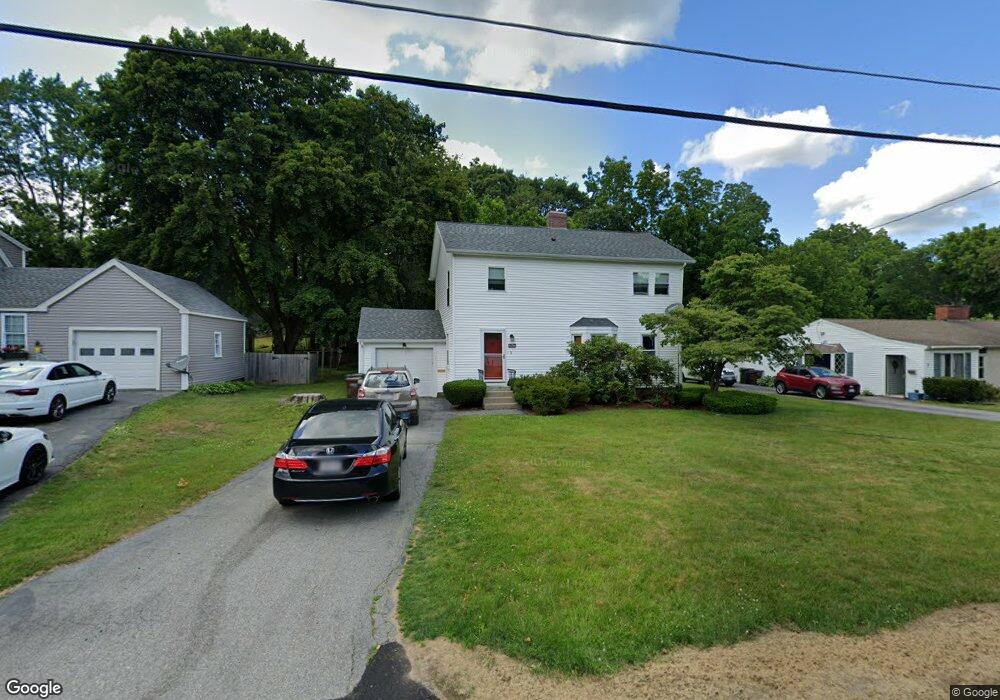
5 Rock Ave Auburn, MA 01501
Stoneville NeighborhoodEstimated Value: $409,000 - $651,000
4
Beds
3
Baths
1,642
Sq Ft
$319/Sq Ft
Est. Value
About This Home
This home is located at 5 Rock Ave, Auburn, MA 01501 and is currently estimated at $524,355, approximately $319 per square foot. 5 Rock Ave is a home located in Worcester County with nearby schools including Auburn Senior High School and Shrewsbury Montessori School - Auburn Campus.
Ownership History
Date
Name
Owned For
Owner Type
Purchase Details
Closed on
Sep 12, 2017
Sold by
Flavin Catherine E
Bought by
Flavin Catherine E and Flavin James F
Current Estimated Value
Purchase Details
Closed on
Mar 9, 2004
Sold by
Holding Amy F and Rasco Amy F
Bought by
Wood Catherine E
Home Financials for this Owner
Home Financials are based on the most recent Mortgage that was taken out on this home.
Original Mortgage
$120,000
Interest Rate
5.62%
Mortgage Type
Purchase Money Mortgage
Purchase Details
Closed on
Nov 27, 2002
Sold by
Sherman Warren A and Sherman Mildred D
Bought by
Rasco Amy F
Home Financials for this Owner
Home Financials are based on the most recent Mortgage that was taken out on this home.
Original Mortgage
$166,500
Interest Rate
6.16%
Mortgage Type
Purchase Money Mortgage
Create a Home Valuation Report for This Property
The Home Valuation Report is an in-depth analysis detailing your home's value as well as a comparison with similar homes in the area
Home Values in the Area
Average Home Value in this Area
Purchase History
| Date | Buyer | Sale Price | Title Company |
|---|---|---|---|
| Flavin Catherine E | -- | -- | |
| Wood Catherine E | $204,250 | -- | |
| Rasco Amy F | $185,000 | -- |
Source: Public Records
Mortgage History
| Date | Status | Borrower | Loan Amount |
|---|---|---|---|
| Previous Owner | Wood Catherine E | $120,000 | |
| Previous Owner | Rasco Amy F | $166,500 |
Source: Public Records
Tax History
| Year | Tax Paid | Tax Assessment Tax Assessment Total Assessment is a certain percentage of the fair market value that is determined by local assessors to be the total taxable value of land and additions on the property. | Land | Improvement |
|---|---|---|---|---|
| 2025 | $67 | $471,200 | $128,900 | $342,300 |
| 2024 | $6,759 | $452,700 | $124,100 | $328,600 |
| 2023 | $6,450 | $406,200 | $112,900 | $293,300 |
| 2022 | $5,980 | $355,500 | $112,900 | $242,600 |
| 2021 | $2,700 | $312,600 | $99,700 | $212,900 |
| 2020 | $5,621 | $312,600 | $99,700 | $212,900 |
| 2019 | $2,675 | $286,200 | $98,800 | $187,400 |
| 2018 | $2,350 | $182,000 | $92,400 | $89,600 |
| 2017 | $3,136 | $171,000 | $83,800 | $87,200 |
| 2016 | $3,005 | $166,100 | $86,500 | $79,600 |
| 2015 | $2,886 | $167,200 | $86,500 | $80,700 |
| 2014 | $2,709 | $156,700 | $82,200 | $74,500 |
Source: Public Records
Map
Nearby Homes
- 83 Bryn Mawr Ave
- 19-20 Williams St
- 1 Ashcroft St
- 177 Oxford St N
- 1-9 Helens Way
- 31-33 Walsh Ave
- 33 Walsh Ave
- 31 Walsh Ave
- 381 Oxford St N
- 25 Vinal St Unit 26
- 25 Vinal St Unit 29
- 25 Vinal St Unit 30
- 191 Boyce St
- 177 Boyce St
- 5 Commonwealth Ave
- 234 Bryn Mawr Ave
- 301 Forest Park Dr
- 2 Victoria Dr Unit 1
- 501 Forest Park Dr Unit 501
- 99 Clover St
Your Personal Tour Guide
Ask me questions while you tour the home.