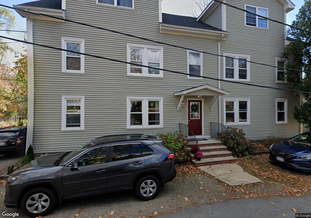
5 Russell St Unit 2 Amesbury, MA 01913
Estimated Value: $364,000 - $503,000
2
Beds
1
Bath
794
Sq Ft
$507/Sq Ft
Est. Value
About This Home
This home is located at 5 Russell St Unit 2, Amesbury, MA 01913 and is currently estimated at $402,703, approximately $507 per square foot. 5 Russell St Unit 2 is a home located in Essex County with nearby schools including Amesbury High School and Amesbury Seventh-Day Adventist School.
Ownership History
Date
Name
Owned For
Owner Type
Purchase Details
Closed on
Jul 25, 2008
Sold by
Coates David G and Mcqueen Erin R
Bought by
Harding Christopher W
Current Estimated Value
Home Financials for this Owner
Home Financials are based on the most recent Mortgage that was taken out on this home.
Original Mortgage
$153,000
Interest Rate
6.35%
Mortgage Type
Purchase Money Mortgage
Purchase Details
Closed on
Dec 22, 2005
Sold by
Silver Michael D
Bought by
Coates David G and Mcqueen Erin R
Create a Home Valuation Report for This Property
The Home Valuation Report is an in-depth analysis detailing your home's value as well as a comparison with similar homes in the area
Home Values in the Area
Average Home Value in this Area
Purchase History
| Date | Buyer | Sale Price | Title Company |
|---|---|---|---|
| Harding Christopher W | $170,000 | -- | |
| Coates David G | $192,000 | -- |
Source: Public Records
Mortgage History
| Date | Status | Borrower | Loan Amount |
|---|---|---|---|
| Open | Coates David G | $151,768 | |
| Closed | Coates David G | $157,712 | |
| Closed | Coates David G | $153,000 |
Source: Public Records
Tax History Compared to Growth
Tax History
| Year | Tax Paid | Tax Assessment Tax Assessment Total Assessment is a certain percentage of the fair market value that is determined by local assessors to be the total taxable value of land and additions on the property. | Land | Improvement |
|---|---|---|---|---|
| 2025 | $5,107 | $333,800 | $0 | $333,800 |
| 2024 | $3,999 | $255,700 | $0 | $255,700 |
| 2023 | $3,748 | $229,400 | $0 | $229,400 |
| 2022 | $3,324 | $187,900 | $0 | $187,900 |
| 2021 | $3,303 | $181,000 | $0 | $181,000 |
| 2020 | $3,089 | $179,800 | $0 | $179,800 |
| 2019 | $3,097 | $168,600 | $0 | $168,600 |
| 2018 | $2,830 | $149,000 | $0 | $149,000 |
| 2017 | $2,791 | $139,900 | $0 | $139,900 |
| 2016 | $2,912 | $143,600 | $0 | $143,600 |
| 2015 | $2,950 | $143,600 | $0 | $143,600 |
| 2014 | $2,812 | $134,100 | $0 | $134,100 |
Source: Public Records
Map
Nearby Homes
- 105 Market St Unit B
- 103 Market St Unit A
- 103 Market St Unit B
- 101 Market St Unit B
- 101 Market St Unit A
- 25 Cedar St Unit 7
- 57 Clinton St
- 3 Glenwood St
- 7 Melrose St
- 97 Elm St
- 53 Market St
- 17 Linwood Place
- 48 Orchard St
- 3 Brown Ave Unit 75
- 1 Brown Ave Unit 3-80
- 100 Congress St
- 22 Huntington Ave
- 2 Locke Hill Ln
- 81 High St Unit 27
- 24 Aubin St Unit 2
- 5 Russell St Unit 4
- 5 Russell St Unit 3
- 5 Russell St Unit 1
- 5 Russell St Unit 3,5
- 11 Russell St
- 135 Market St
- 10 Russell St
- 131 Market St
- 6 Russell St
- 133 Market St
- 21 California St
- 4 Russell St
- 129 Market St
- 13 Russell St
- 127 Market St
- 19 California St
- 8 Hill St
- 141 Market St
- 6 Hill St
- 125 Market St