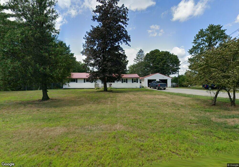
5 S Main St Brookline, NH 03033
Estimated Value: $512,000 - $810,271
Studio
--
Bath
--
Sq Ft
1,001,880
Sq Ft Lot
About This Home
This home is located at 5 S Main St, Brookline, NH 03033 and is currently estimated at $703,068. 5 S Main St is a home with nearby schools including Richard Maghakian Memorial School, Captain Samuel Douglass Academy, and Hollis-Brookline Middle School.
Ownership History
Date
Name
Owned For
Owner Type
Purchase Details
Closed on
Jan 7, 2022
Sold by
Esther H Joki Ret and Joki
Bought by
Joki David A and Joki Susan E
Current Estimated Value
Home Financials for this Owner
Home Financials are based on the most recent Mortgage that was taken out on this home.
Original Mortgage
$305,250
Outstanding Balance
$279,013
Interest Rate
3.11%
Mortgage Type
FHA
Estimated Equity
$424,055
Create a Home Valuation Report for This Property
The Home Valuation Report is an in-depth analysis detailing your home's value as well as a comparison with similar homes in the area
Home Values in the Area
Average Home Value in this Area
Purchase History
| Date | Buyer | Sale Price | Title Company |
|---|---|---|---|
| Joki David A | -- | None Available | |
| Joki David A | -- | None Available |
Source: Public Records
Mortgage History
| Date | Status | Borrower | Loan Amount |
|---|---|---|---|
| Open | Joki David A | $305,250 | |
| Closed | Joki David A | $305,250 |
Source: Public Records
Tax History
| Year | Tax Paid | Tax Assessment Tax Assessment Total Assessment is a certain percentage of the fair market value that is determined by local assessors to be the total taxable value of land and additions on the property. | Land | Improvement |
|---|---|---|---|---|
| 2025 | $15,649 | $635,118 | $219,318 | $415,800 |
| 2024 | $14,359 | $635,092 | $219,292 | $415,800 |
| 2023 | $13,197 | $635,086 | $219,286 | $415,800 |
| 2022 | $11,794 | $396,832 | $144,332 | $252,500 |
| 2021 | $11,346 | $397,002 | $144,502 | $252,500 |
| 2020 | $11,038 | $397,056 | $144,556 | $252,500 |
| 2019 | $11,863 | $397,164 | $144,664 | $252,500 |
| 2018 | $10,225 | $397,123 | $144,623 | $252,500 |
| 2017 | $9,958 | $302,312 | $97,212 | $205,100 |
| 2016 | $9,846 | $302,398 | $97,298 | $205,100 |
| 2015 | $9,327 | $300,395 | $97,295 | $203,100 |
| 2014 | $9,868 | $300,395 | $97,295 | $203,100 |
| 2013 | $8,148 | $257,610 | $115,010 | $142,600 |
Source: Public Records
Map
Nearby Homes
- 25 Pepperell Rd
- 9 Quigley Way
- 9 Bohanon Bridge Rd
- 6 Skyline Dr
- 131 Route 13
- 6 Flint Meadow Dr
- 198 N End Rd
- 3 Winterberry Rd
- 7 Winterberry Rd
- 9 Winterberry Rd
- 6 High Oaks Path
- 61 Russell Hill Rd
- 24 Captain Seaver Rd
- 147 Rocky Pond Rd
- 9 Mosher Dr
- 2 Everett Dr
- 0 Brookline St
- 39 Apple Ln Unit B
- 8 Poor Farm Rd
- 49 Countryside Dr
Your Personal Tour Guide
Ask me questions while you tour the home.