5 Saint Andrews Cir Unit U12 Nashua, NH 03062
Southwest Nashua NeighborhoodEstimated Value: $321,577 - $397,000
2
Beds
1
Bath
864
Sq Ft
$423/Sq Ft
Est. Value
About This Home
This home is located at 5 Saint Andrews Cir Unit U12, Nashua, NH 03062 and is currently estimated at $365,894, approximately $423 per square foot. 5 Saint Andrews Cir Unit U12 is a home located in Hillsborough County with nearby schools including New Searles School, Fairgrounds Middle School, and Nashua High School South.
Ownership History
Date
Name
Owned For
Owner Type
Purchase Details
Closed on
Dec 2, 1999
Sold by
Duval Julieanne
Bought by
Vorce Cheryl A
Current Estimated Value
Home Financials for this Owner
Home Financials are based on the most recent Mortgage that was taken out on this home.
Original Mortgage
$109,250
Outstanding Balance
$33,633
Interest Rate
7.86%
Estimated Equity
$332,261
Purchase Details
Closed on
Dec 2, 1985
Bought by
Bhatt Umesh and Bhatt Mina
Create a Home Valuation Report for This Property
The Home Valuation Report is an in-depth analysis detailing your home's value as well as a comparison with similar homes in the area
Home Values in the Area
Average Home Value in this Area
Purchase History
| Date | Buyer | Sale Price | Title Company |
|---|---|---|---|
| Vorce Cheryl A | $115,000 | -- | |
| Bhatt Umesh | $83,500 | -- |
Source: Public Records
Mortgage History
| Date | Status | Borrower | Loan Amount |
|---|---|---|---|
| Open | Bhatt Umesh | $109,250 |
Source: Public Records
Tax History Compared to Growth
Tax History
| Year | Tax Paid | Tax Assessment Tax Assessment Total Assessment is a certain percentage of the fair market value that is determined by local assessors to be the total taxable value of land and additions on the property. | Land | Improvement |
|---|---|---|---|---|
| 2024 | $5,307 | $333,800 | $0 | $333,800 |
| 2023 | $4,878 | $267,600 | $0 | $267,600 |
| 2022 | $4,836 | $267,600 | $0 | $267,600 |
| 2021 | $4,326 | $186,300 | $0 | $186,300 |
| 2020 | $4,212 | $186,300 | $0 | $186,300 |
| 2019 | $4,054 | $186,300 | $0 | $186,300 |
| 2018 | $3,951 | $186,300 | $0 | $186,300 |
| 2017 | $3,693 | $143,200 | $0 | $143,200 |
| 2016 | $3,590 | $143,200 | $0 | $143,200 |
| 2015 | $3,513 | $143,200 | $0 | $143,200 |
| 2014 | $3,444 | $143,200 | $0 | $143,200 |
Source: Public Records
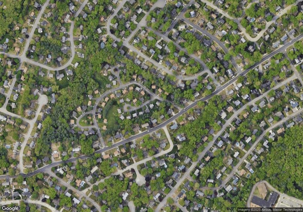
Map
Nearby Homes
- 5 Wilderness Dr
- 23 Glen Dr
- 15 Westray Dr
- 2 Wakefield Dr
- 31 Tenby Dr
- 4 Henry David Dr Unit 203
- 5 Appaloosa Place
- 9 Michelle Dr
- 375 Main Dunstable Rd
- 29 Dickens St
- 285 E Dunstable Rd
- 25 Cortez Dr Unit U57
- 10 Lamb Rd
- 51 Legacy Dr
- 9 Byron Dr
- 125 Lille Rd
- 16 Laurel Ct Unit U320
- 30 Gendron St
- 247 Main Dunstable Rd
- 30 Gingras Dr
- 7 Saint Andrews Cir Unit U11
- 6 Killian Dr Unit U17
- 8 Killian Dr Unit U18
- 4 Saint Andrews Cir Unit U2
- 6 Saint Andrews Cir Unit U3
- 9 Saint Andrews Cir Unit U10
- 8 Saint Andrews Cir Unit U4
- 10 Killian Dr Unit U19
- 4 Killian Dr Unit U1
- 10 Saint Andrews Cir Unit U5
- 9 Killian Dr Unit U13
- 12 Killian Dr Unit U20
- 11 Killian Dr Unit U33
- 11 Saint Andrews Cir Unit U9
- 7 Killian Dr Unit U14
- 12 Saint Andrews Cir Unit U6
- 14 Killian Dr Unit U21
- 155 Harris Rd
- 17 Killian Dr Unit U31
- 15 Saint Andrews Cir Unit U8