5 Sampson Rd Rochester, NH 03867
Estimated Value: $990,686
--
Bed
--
Bath
13,992
Sq Ft
$71/Sq Ft
Est. Value
About This Home
This home is located at 5 Sampson Rd, Rochester, NH 03867 and is currently estimated at $990,686, approximately $70 per square foot. 5 Sampson Rd is a home located in Strafford County with nearby schools including Mcclelland School, Rochester Middle School, and Spaulding High School.
Ownership History
Date
Name
Owned For
Owner Type
Purchase Details
Closed on
Dec 15, 2021
Sold by
Kodiak Group Llc
Bought by
J Squared Management Llc
Current Estimated Value
Purchase Details
Closed on
Jul 18, 2006
Sold by
Kodiak Rt
Bought by
Kodiak Group Llc
Create a Home Valuation Report for This Property
The Home Valuation Report is an in-depth analysis detailing your home's value as well as a comparison with similar homes in the area
Home Values in the Area
Average Home Value in this Area
Purchase History
| Date | Buyer | Sale Price | Title Company |
|---|---|---|---|
| J Squared Management Llc | $725,000 | None Available | |
| Kodiak Group Llc | $320,000 | -- |
Source: Public Records
Mortgage History
| Date | Status | Borrower | Loan Amount |
|---|---|---|---|
| Previous Owner | Kodiak Group Llc | $160,000 |
Source: Public Records
Tax History Compared to Growth
Tax History
| Year | Tax Paid | Tax Assessment Tax Assessment Total Assessment is a certain percentage of the fair market value that is determined by local assessors to be the total taxable value of land and additions on the property. | Land | Improvement |
|---|---|---|---|---|
| 2024 | $8,481 | $571,100 | $252,400 | $318,700 |
| 2023 | $10,525 | $408,900 | $66,600 | $342,300 |
| 2022 | $10,337 | $408,900 | $66,600 | $342,300 |
| 2021 | $10,079 | $408,900 | $66,600 | $342,300 |
| 2020 | $9,755 | $396,400 | $66,600 | $329,800 |
| 2019 | $9,870 | $396,400 | $66,600 | $329,800 |
| 2018 | $10,384 | $413,200 | $66,600 | $346,600 |
| 2017 | $10,880 | $413,200 | $66,600 | $346,600 |
| 2016 | $11,872 | $420,100 | $66,600 | $353,500 |
| 2015 | $11,826 | $420,100 | $66,600 | $353,500 |
| 2014 | $11,540 | $420,100 | $66,600 | $353,500 |
| 2013 | $9,302 | $352,900 | $66,600 | $286,300 |
| 2012 | $9,062 | $352,900 | $66,600 | $286,300 |
Source: Public Records
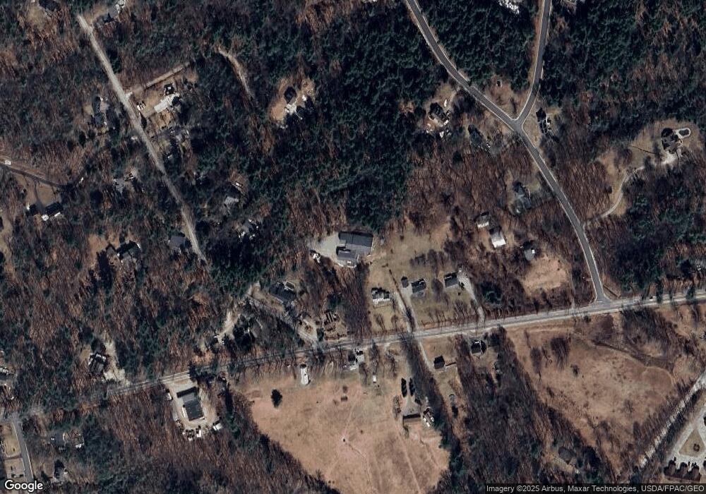
Map
Nearby Homes
- 272 Walnut St
- 13 Miami Way Unit B
- 67 Ten Rod Rd
- 71 Ten Rod Rd
- 2 Cape Coral Way Unit A
- 2 Cape Coral Way Unit B
- 2 Hale St
- 14 1/2 Yvonne St
- 24 Lyons St
- 81 Washington St
- 20 Brock St
- 31 Brock St
- 77 Chestnut St
- 0 Washington St
- 8 Perimeter Dr
- 161 N Main St
- 51 Chestnut St
- 74 Seneca St
- 49 Shiloh Dr
- Map 220 Lot 16 Four Rod Rd