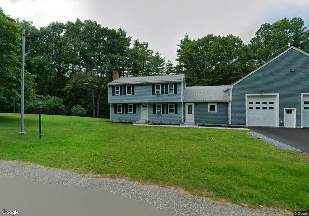
5 Saunders Rd West Townsend, MA 01474
Estimated Value: $508,000 - $570,000
4
Beds
2
Baths
2,026
Sq Ft
$264/Sq Ft
Est. Value
About This Home
This home is located at 5 Saunders Rd, West Townsend, MA 01474 and is currently estimated at $533,863, approximately $263 per square foot. 5 Saunders Rd is a home located in Middlesex County with nearby schools including North Middlesex Regional High School.
Create a Home Valuation Report for This Property
The Home Valuation Report is an in-depth analysis detailing your home's value as well as a comparison with similar homes in the area
Home Values in the Area
Average Home Value in this Area
Tax History Compared to Growth
Tax History
| Year | Tax Paid | Tax Assessment Tax Assessment Total Assessment is a certain percentage of the fair market value that is determined by local assessors to be the total taxable value of land and additions on the property. | Land | Improvement |
|---|---|---|---|---|
| 2025 | $5,962 | $410,600 | $100,200 | $310,400 |
| 2024 | $5,800 | $402,500 | $100,200 | $302,300 |
| 2023 | $5,846 | $383,100 | $91,500 | $291,600 |
| 2022 | $5,459 | $310,000 | $78,200 | $231,800 |
| 2021 | $5,387 | $293,900 | $77,800 | $216,100 |
| 2020 | $5,169 | $264,800 | $68,100 | $196,700 |
| 2019 | $5,086 | $263,100 | $68,100 | $195,000 |
| 2018 | $4,887 | $241,200 | $69,000 | $172,200 |
| 2017 | $4,587 | $233,200 | $73,000 | $160,200 |
| 2016 | $4,469 | $225,700 | $73,000 | $152,700 |
| 2015 | $4,292 | $224,600 | $76,100 | $148,500 |
| 2014 | $4,164 | $212,800 | $69,000 | $143,800 |
Source: Public Records
Map
Nearby Homes
- 86 W Elm Lunenburg Rd Blood Rd
- 18 Bridle Path
- 91 Lunenburg Rd
- 20 Bayberry Hill Rd
- 1 Depot Street Extension Unit 2
- 1 Depot Street Extension Unit 5
- 1 Depot Street Extension Unit 3
- 1 Depot Street Extension Unit 4
- 53 W Meadow Rd
- 10 Stearns Ave
- 30 Bailey Rd
- 75 Highland St
- 91 Highland St
- 2 Tamarack Ln
- 0 Brookline St
- 1235 Townsend Rd
- 64 Meadow Rd
- 0 Tyler Rd Unit 72560808
- 144 Main St
- 00 Tyler Rd