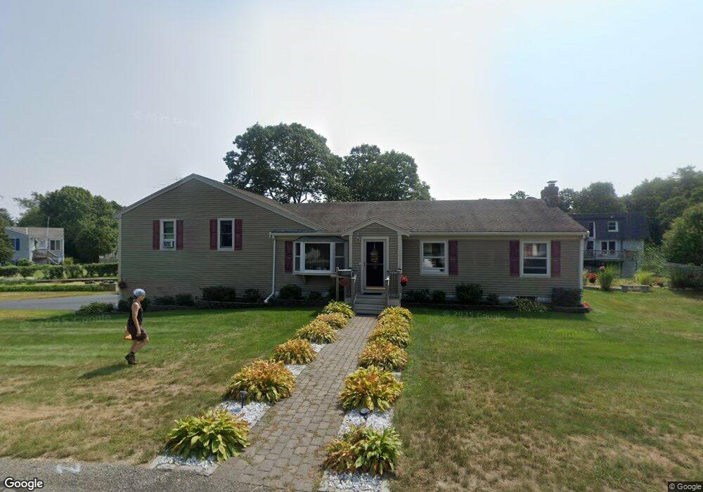
5 Shamrock Ln Buzzards Bay, MA 02532
Buzzards Bay NeighborhoodEstimated Value: $695,414 - $766,000
3
Beds
4
Baths
2,268
Sq Ft
$317/Sq Ft
Est. Value
About This Home
This home is located at 5 Shamrock Ln, Buzzards Bay, MA 02532 and is currently estimated at $719,854, approximately $317 per square foot. 5 Shamrock Ln is a home located in Barnstable County with nearby schools including Bourne High School and St Margaret Regional School.
Ownership History
Date
Name
Owned For
Owner Type
Purchase Details
Closed on
Feb 26, 2025
Sold by
Vanbeeck Rebecca A and Vanbeeck Van Beeck
Bought by
Van Beeck Ft and Van Beeck
Current Estimated Value
Purchase Details
Closed on
May 6, 1983
Bought by
Vanbeeck Francois P and Van Beeck Rebecca A
Create a Home Valuation Report for This Property
The Home Valuation Report is an in-depth analysis detailing your home's value as well as a comparison with similar homes in the area
Home Values in the Area
Average Home Value in this Area
Purchase History
| Date | Buyer | Sale Price | Title Company |
|---|---|---|---|
| Van Beeck Ft | -- | None Available | |
| Van Beeck Ft | -- | None Available | |
| Vanbeeck Francois P | $15,500 | -- |
Source: Public Records
Mortgage History
| Date | Status | Borrower | Loan Amount |
|---|---|---|---|
| Previous Owner | Vanbeeck Francois P | $150,000 | |
| Previous Owner | Vanbeeck Francois P | $93,600 | |
| Previous Owner | Vanbeeck Francois P | $50,000 |
Source: Public Records
Tax History Compared to Growth
Tax History
| Year | Tax Paid | Tax Assessment Tax Assessment Total Assessment is a certain percentage of the fair market value that is determined by local assessors to be the total taxable value of land and additions on the property. | Land | Improvement |
|---|---|---|---|---|
| 2025 | $5,117 | $655,200 | $201,300 | $453,900 |
| 2024 | $5,048 | $629,400 | $191,700 | $437,700 |
| 2023 | $4,909 | $557,200 | $169,700 | $387,500 |
| 2022 | $4,837 | $479,400 | $150,100 | $329,300 |
| 2021 | $4,739 | $440,000 | $136,600 | $303,400 |
| 2020 | $4,527 | $421,500 | $135,300 | $286,200 |
| 2019 | $4,262 | $405,500 | $135,300 | $270,200 |
| 2018 | $3,486 | $330,700 | $122,500 | $208,200 |
| 2017 | $3,269 | $317,400 | $121,300 | $196,100 |
| 2016 | $3,050 | $300,200 | $108,500 | $191,700 |
| 2015 | $3,023 | $300,200 | $108,500 | $191,700 |
Source: Public Records
Map
Nearby Homes
- 3 Wolf Rd
- 34 Washington Ave
- 16 Washington Ave
- 56 Rip Van Winkle Way
- 41 Lewis Point Rd
- 17 Maple St
- 151 - 153 Main St
- 0 Lewis Point Rd
- 65 Lewis Point Rd
- 46 Holt Rd
- 46 Holt Rd Unit A
- 73 Lewis Point Rd
- 162 Puritan Rd
- 171 Puritan Rd
- 9 Hideaway Rd Unit F
- 27 Baker Ln Unit 27H
- 13 Hideaway Village Unit G
- 11 Thompson Rd Unit 11A
- 11 Thompson Rd Unit A
- 304 Main St