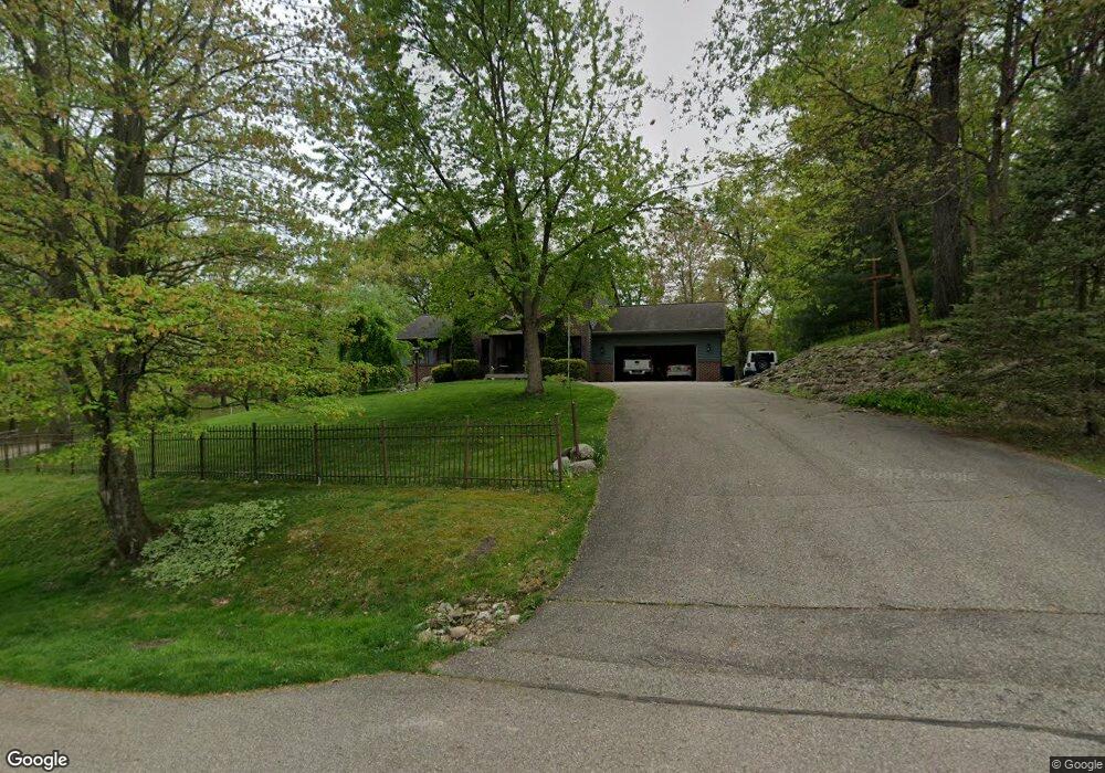
5 Sheffield Ct Battle Creek, MI 49017
Estimated Value: $335,000 - $395,866
3
Beds
4
Baths
1,450
Sq Ft
$254/Sq Ft
Est. Value
About This Home
This home is located at 5 Sheffield Ct, Battle Creek, MI 49017 and is currently estimated at $367,717, approximately $253 per square foot. 5 Sheffield Ct is a home located in Calhoun County with nearby schools including Thomas M. Ryan Intermediate School, Gull Lake Middle School, and Gull Lake High School.
Ownership History
Date
Name
Owned For
Owner Type
Purchase Details
Closed on
Aug 2, 2017
Sold by
Jaglowski Dawn Marie and Blood Dawn Marie
Bought by
Jaglowski Dawn Marie
Current Estimated Value
Home Financials for this Owner
Home Financials are based on the most recent Mortgage that was taken out on this home.
Original Mortgage
$129,019
Outstanding Balance
$109,516
Interest Rate
4.62%
Mortgage Type
FHA
Estimated Equity
$258,201
Purchase Details
Closed on
Sep 13, 1999
Sold by
Wilson Thomas J and Wilson Victoria S
Bought by
Blood Max and Dawn Marie
Create a Home Valuation Report for This Property
The Home Valuation Report is an in-depth analysis detailing your home's value as well as a comparison with similar homes in the area
Home Values in the Area
Average Home Value in this Area
Purchase History
| Date | Buyer | Sale Price | Title Company |
|---|---|---|---|
| Jaglowski Dawn Marie | -- | None Available | |
| Blood Max | $139,900 | -- |
Source: Public Records
Mortgage History
| Date | Status | Borrower | Loan Amount |
|---|---|---|---|
| Open | Jaglowski Dawn Marie | $129,019 |
Source: Public Records
Tax History Compared to Growth
Tax History
| Year | Tax Paid | Tax Assessment Tax Assessment Total Assessment is a certain percentage of the fair market value that is determined by local assessors to be the total taxable value of land and additions on the property. | Land | Improvement |
|---|---|---|---|---|
| 2025 | $4,962 | $190,500 | $0 | $0 |
| 2024 | $1,518 | $184,000 | $0 | $0 |
| 2023 | $4,434 | $167,400 | $0 | $0 |
| 2022 | $1,377 | $138,600 | $0 | $0 |
| 2021 | $4,312 | $128,600 | $0 | $0 |
| 2020 | $4,437 | $123,100 | $0 | $0 |
| 2019 | $2,583 | $113,100 | $0 | $0 |
| 2018 | $3,656 | $117,200 | $6,900 | $110,300 |
| 2017 | $3,656 | $120,800 | $0 | $0 |
| 2016 | $3,656 | $134,800 | $0 | $0 |
| 2015 | -- | $106,200 | $10,971 | $95,229 |
| 2014 | -- | $116,850 | $10,971 | $105,879 |
Source: Public Records
Map
Nearby Homes
- 120 Roxbury Ln
- 230 Roxbury Ln
- 275 N Uldriks Dr
- 139 Duane Ave
- 3192 Michigan Ave W
- 3600 Michigan Ave W
- 113 Blueberry Ln
- 132 Oriole Dr
- 235 Oak St
- 193 S Finlay Ave
- 117 Robin Ave S
- 21026 Dana Dr
- 128 Quail St
- 111 Virginia Ave
- 144 Maxine Place
- 153 Colonial Dr
- 338 Cross St
- 21763 Collier Ave
- 115 Suwanee St
- 112 Feld Ave
- 11 Sheffield Ct
- 8 Sheffield Ct
- 386 Roxbury Ln
- 408 Roxbury Ln
- 9 Sheffield Ct
- 409 Roxbury Ln
- 375 Roxbury Ln
- 145 Highfield Rd
- 426 Roxbury Ln
- 425 Roxbury Ln
- 141 Highfield Rd
- 367 Roxbury Ln
- 136 Highfield Rd
- 135 Highfield Rd
- 434 Roxbury Ln
- 355 Roxbury Ln
- 343 Roxbury Ln
- 284 Holly Rd
- 337 Roxbury Ln
- 131 Highfield Rd