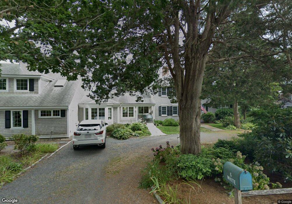
5 Shore View Rd Orleans, MA 02653
Estimated Value: $1,374,000 - $3,353,000
4
Beds
4
Baths
2,928
Sq Ft
$869/Sq Ft
Est. Value
About This Home
This home is located at 5 Shore View Rd, Orleans, MA 02653 and is currently estimated at $2,545,808, approximately $869 per square foot. 5 Shore View Rd is a home located in Barnstable County with nearby schools including Orleans Elementary School, Nauset Regional Middle School, and Nauset Regional High School.
Ownership History
Date
Name
Owned For
Owner Type
Purchase Details
Closed on
Nov 16, 2022
Sold by
White Joseph
Bought by
White Joseph F and White Linda E
Current Estimated Value
Purchase Details
Closed on
Jun 11, 2020
Sold by
5 Shore View Drive Nt
Bought by
White Joseph
Purchase Details
Closed on
Jul 10, 2019
Sold by
White Joseph F
Bought by
5 Shore View Drive Nt
Purchase Details
Closed on
Apr 12, 2016
Sold by
White Rt
Bought by
White Joseph F
Create a Home Valuation Report for This Property
The Home Valuation Report is an in-depth analysis detailing your home's value as well as a comparison with similar homes in the area
Home Values in the Area
Average Home Value in this Area
Purchase History
| Date | Buyer | Sale Price | Title Company |
|---|---|---|---|
| White Joseph F | -- | None Available | |
| White Joseph | -- | None Available | |
| 5 Shore View Drive Nt | -- | -- | |
| White Joseph F | -- | -- |
Source: Public Records
Tax History
| Year | Tax Paid | Tax Assessment Tax Assessment Total Assessment is a certain percentage of the fair market value that is determined by local assessors to be the total taxable value of land and additions on the property. | Land | Improvement |
|---|---|---|---|---|
| 2025 | $15,508 | $2,485,200 | $1,646,200 | $839,000 |
| 2024 | $14,929 | $2,329,000 | $1,613,800 | $715,200 |
| 2023 | $13,566 | $2,177,500 | $1,494,400 | $683,100 |
| 2022 | $13,303 | $1,847,600 | $1,358,600 | $489,000 |
| 2021 | $14,135 | $1,802,900 | $1,394,100 | $408,800 |
| 2020 | $13,475 | $1,782,400 | $1,394,100 | $388,300 |
| 2019 | $12,847 | $1,736,100 | $1,355,400 | $380,700 |
| 2018 | $11,805 | $1,780,500 | $1,414,000 | $366,500 |
| 2017 | $11,392 | $1,799,700 | $1,450,200 | $349,500 |
| 2016 | $11,505 | $1,781,000 | $1,438,300 | $342,700 |
| 2015 | $10,859 | $1,691,500 | $1,409,900 | $281,600 |
Source: Public Records
Map
Nearby Homes
- 80 Briar Spring Rd
- 63 Briar Spring Rd
- 15 Dale Ann Dr
- 25 Pleasant View Dr
- 43 Old Duck Hole Rd
- 7 Brick Hill Rd
- 7 Brick Hill Ext Rd
- 110 Beach Rd
- 22 Nauset Farms Private Way
- 216 Main St
- 64 Pershing Ln
- 63 Kescayogansett Rd
- 19 Monument Rd
- 142 Monument Rd
- 7 Lockwood Ln
- 15 Morgan's Way
- 15 Morgans Way
- 44 Tonset Rd
- 47 Daley Terrace
- 32 Areys Ln
- 5 Shore View Dr
- 6 Shore View Rd
- 3 Shore View Dr
- 3 Shore View Rd
- 77 Briar Spring Rd
- 9 Shore View Rd
- 12 Shore View Rd
- 15 Shore View Rd
- 71 Briar Spring Rd
- 79 Briar Spring Rd
- 24 Sibsie Ln
- 76 Briar Spring Rd
- 16 Shore View Dr
- 16 Shore View Rd
- 83 Briar Spring Rd
- 70 Briar Spring Rd
- 17 Shore View Rd
- 25 Sibsie Ln
- 19 Sibsie Ln
- 17 Shore View Dr
Your Personal Tour Guide
Ask me questions while you tour the home.