5 Stonepost Rd Pelham, NH 03076
Estimated Value: $837,000 - $945,000
4
Beds
3
Baths
2,744
Sq Ft
$318/Sq Ft
Est. Value
About This Home
This home is located at 5 Stonepost Rd, Pelham, NH 03076 and is currently estimated at $873,843, approximately $318 per square foot. 5 Stonepost Rd is a home with nearby schools including Pelham Elementary School, Pelham Memorial School, and Pelham High School.
Ownership History
Date
Name
Owned For
Owner Type
Purchase Details
Closed on
Apr 12, 2007
Sold by
Ciocca Mark and Ciocca Lisa
Bought by
Gloor Scott R and Gloor Amy M
Current Estimated Value
Home Financials for this Owner
Home Financials are based on the most recent Mortgage that was taken out on this home.
Original Mortgage
$353,200
Interest Rate
6.24%
Mortgage Type
Purchase Money Mortgage
Create a Home Valuation Report for This Property
The Home Valuation Report is an in-depth analysis detailing your home's value as well as a comparison with similar homes in the area
Home Values in the Area
Average Home Value in this Area
Purchase History
| Date | Buyer | Sale Price | Title Company |
|---|---|---|---|
| Gloor Scott R | $441,500 | -- |
Source: Public Records
Mortgage History
| Date | Status | Borrower | Loan Amount |
|---|---|---|---|
| Open | Gloor Scott R | $320,000 | |
| Closed | Gloor Scott R | $10,000 | |
| Closed | Gloor Scott R | $15,000 | |
| Closed | Gloor Scott R | $353,200 |
Source: Public Records
Tax History
| Year | Tax Paid | Tax Assessment Tax Assessment Total Assessment is a certain percentage of the fair market value that is determined by local assessors to be the total taxable value of land and additions on the property. | Land | Improvement |
|---|---|---|---|---|
| 2024 | $12,159 | $663,000 | $173,900 | $489,100 |
| 2023 | $12,060 | $663,000 | $173,900 | $489,100 |
| 2022 | $11,560 | $663,600 | $173,900 | $489,700 |
| 2021 | $10,591 | $663,600 | $173,900 | $489,700 |
| 2020 | $9,841 | $487,200 | $139,100 | $348,100 |
| 2019 | $9,452 | $487,200 | $139,100 | $348,100 |
| 2018 | $9,447 | $440,200 | $139,100 | $301,100 |
| 2017 | $9,434 | $439,800 | $139,100 | $300,700 |
| 2016 | $9,214 | $439,800 | $139,100 | $300,700 |
| 2015 | $9,037 | $388,500 | $132,700 | $255,800 |
| 2014 | $8,885 | $388,500 | $132,700 | $255,800 |
| 2013 | $8,885 | $388,500 | $132,700 | $255,800 |
Source: Public Records
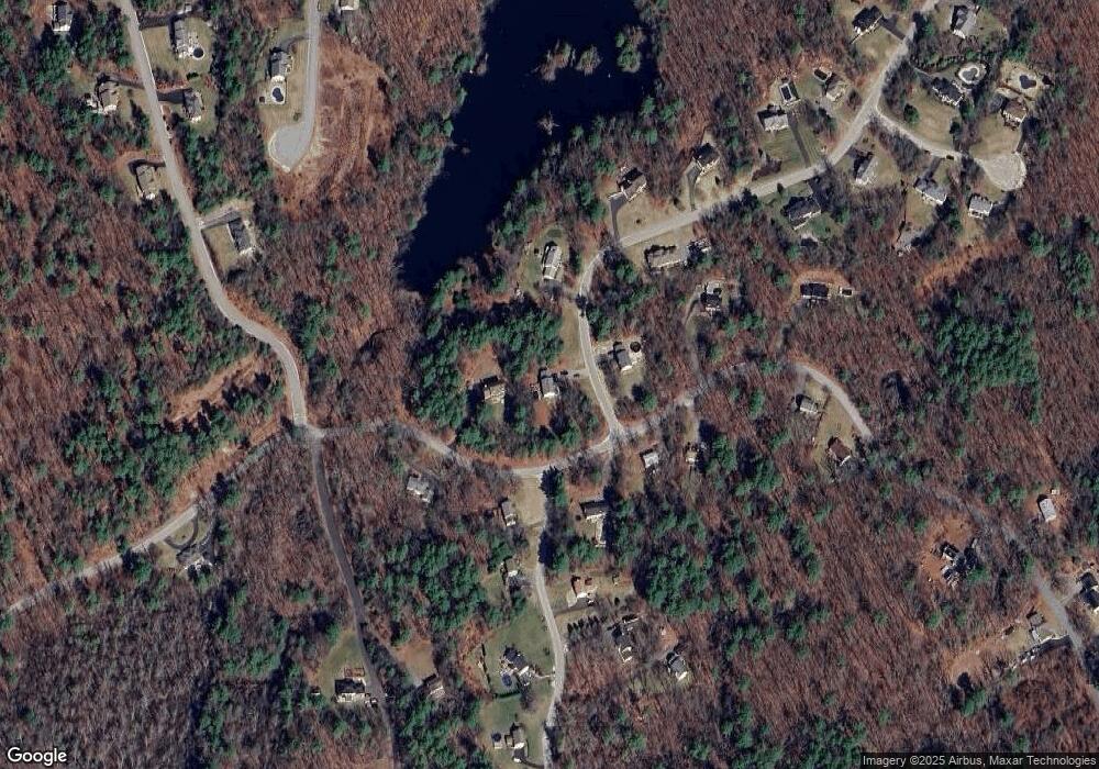
Map
Nearby Homes
- 280 & 290 Spring Rd
- 7 Little Island Park
- 37 Summer Hill Rd
- 2 S Shore Dr
- 11 Wellesley Dr
- Lot 4 Canterbury Rd Unit 4
- 3 Kennedy Dr
- 290 Salem Rd
- 5 Bailey Rd
- 25 Newbury Rd
- 6 Newbury Rd
- 6 Newbury Rd Unit M18 B12-16 L7
- 245 Salem Rd
- 298 Salem Rd
- 302 Salem Rd
- 26 Plower Rd Unit 6
- 45 Hobbs Rd
- 54 Methuen Rd
- 296 Pelham St
- 18 Heather Lee Ln