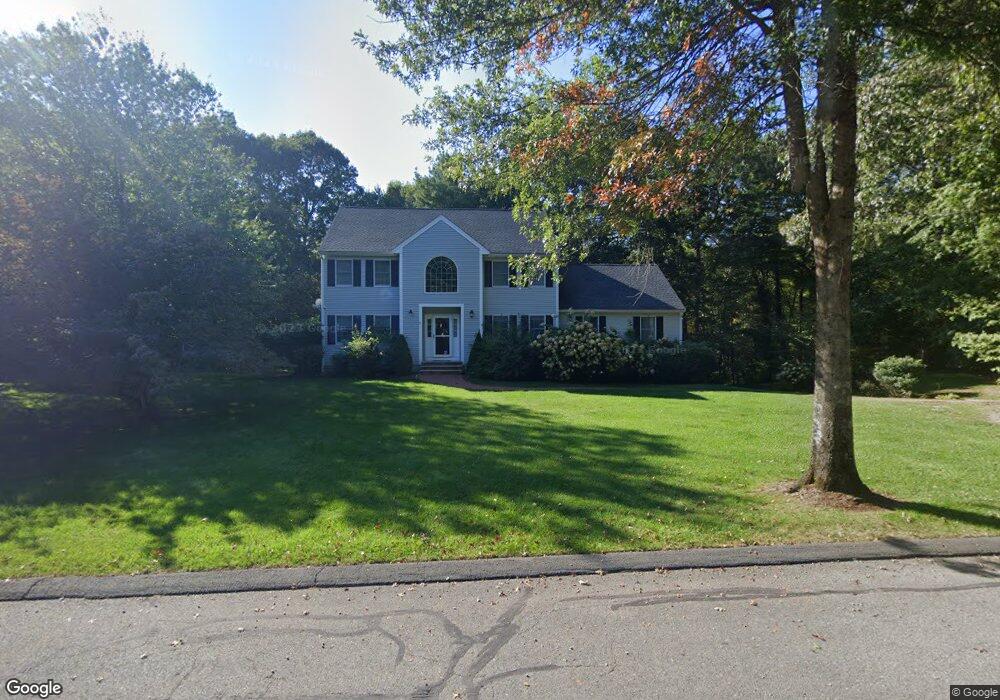
5 Watkins Way Middleton, MA 01949
Estimated Value: $1,011,203 - $1,351,000
3
Beds
3
Baths
2,552
Sq Ft
$454/Sq Ft
Est. Value
About This Home
This home is located at 5 Watkins Way, Middleton, MA 01949 and is currently estimated at $1,158,301, approximately $453 per square foot. 5 Watkins Way is a home located in Essex County with nearby schools including Howe-Manning Elementary School, Fuller Meadow Elementary School, and Masconomet Regional Middle School.
Ownership History
Date
Name
Owned For
Owner Type
Purchase Details
Closed on
Jul 27, 2005
Sold by
Okeefe Edward T and Okeefe Sara V
Bought by
Downing Matthew F and Downing Sarah M
Current Estimated Value
Purchase Details
Closed on
Mar 26, 2001
Sold by
Welsey Richard T and Wesley Krista M
Bought by
Okeefe Edward T and Okeefe Sara
Create a Home Valuation Report for This Property
The Home Valuation Report is an in-depth analysis detailing your home's value as well as a comparison with similar homes in the area
Home Values in the Area
Average Home Value in this Area
Purchase History
| Date | Buyer | Sale Price | Title Company |
|---|---|---|---|
| Downing Matthew F | $660,000 | -- | |
| Downing Matthew F | $660,000 | -- | |
| Okeefe Edward T | $520,000 | -- | |
| Okeefe Edward T | $520,000 | -- |
Source: Public Records
Mortgage History
| Date | Status | Borrower | Loan Amount |
|---|---|---|---|
| Open | Okeefe Edward T | $390,000 |
Source: Public Records
Tax History Compared to Growth
Tax History
| Year | Tax Paid | Tax Assessment Tax Assessment Total Assessment is a certain percentage of the fair market value that is determined by local assessors to be the total taxable value of land and additions on the property. | Land | Improvement |
|---|---|---|---|---|
| 2025 | $11,512 | $968,200 | $344,600 | $623,600 |
| 2024 | $11,316 | $959,800 | $344,600 | $615,200 |
| 2023 | $8,927 | $693,600 | $240,100 | $453,500 |
| 2022 | $8,941 | $674,800 | $256,000 | $418,800 |
| 2021 | $9,155 | $667,300 | $264,800 | $402,500 |
| 2020 | $9,155 | $672,200 | $264,800 | $407,400 |
| 2019 | $9,442 | $689,700 | $291,900 | $397,800 |
| 2018 | $9,008 | $645,300 | $276,600 | $368,700 |
| 2017 | $8,927 | $639,900 | $276,600 | $363,300 |
| 2016 | $7,920 | $570,200 | $211,900 | $358,300 |
| 2015 | $7,813 | $567,000 | $211,900 | $355,100 |
Source: Public Records
Map
Nearby Homes
- 660 Sharpners Pond Rd
- 480 Sharpners Pond Rd
- 851 Forest St
- 3 Harvest Dr Unit 106
- 2 Harvest Dr Unit 301
- 3 Harvest Dr Unit 303
- 3 Harvest Dr Unit 107
- 112 Mill St
- 50 Stonecleave Rd
- 3 Warren Dr
- 196-200 B1 N Main St
- 77 Essex St
- 78 Mill St
- 123 Forest St
- Lot 2 (31) Lawrence Rd
- 3 Useadoor St
- 89 Forest St
- 53 Lawrence Rd
- 1 Mill Terrace
- 7 Sullivan St
- 6 Watkins Way
- 7 Watkins Way
- 1 Watkins Way
- 9 Watkins Way
- 171 Liberty St
- 11 Watkins Way
- 13 Watkins Way
- 13 Watkins Way
- 12 Watkins Way
- 15 Watkins Way
- 143 Liberty St
- 157 Liberty St
- 150 Liberty St
- 2 Silas Meriam Way
- 4 Silas Meriam Way
- 23 Watkins Way
- 21 Watkins Way
- 17 Watkins Way
- 33 Watkins Way
- 29 Watkins Way