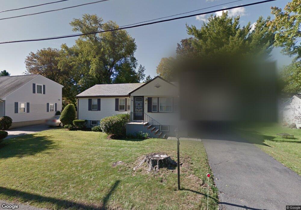
5 Wayland Rd Wakefield, MA 01880
Lakeside NeighborhoodEstimated Value: $782,000 - $827,000
3
Beds
1
Bath
1,859
Sq Ft
$431/Sq Ft
Est. Value
About This Home
This home is located at 5 Wayland Rd, Wakefield, MA 01880 and is currently estimated at $802,026, approximately $431 per square foot. 5 Wayland Rd is a home located in Middlesex County with nearby schools including Wakefield Memorial High School, St Joseph School, and Odyssey Day School.
Ownership History
Date
Name
Owned For
Owner Type
Purchase Details
Closed on
Jun 26, 2012
Sold by
Oneill Joseph M and Oneill Joanne
Bought by
Joseph and Joseph Joanne Oneill
Current Estimated Value
Purchase Details
Closed on
Sep 24, 2009
Sold by
Baker Michael J and Eldredge Mary Louise
Bought by
Oneil Joseph M and Oneil Joanne
Purchase Details
Closed on
Apr 30, 2007
Sold by
Baker Angela M
Bought by
Baker Angela M and Eldredge Mary Louise
Create a Home Valuation Report for This Property
The Home Valuation Report is an in-depth analysis detailing your home's value as well as a comparison with similar homes in the area
Home Values in the Area
Average Home Value in this Area
Purchase History
| Date | Buyer | Sale Price | Title Company |
|---|---|---|---|
| Joseph | -- | -- | |
| Oneil Joseph M | $362,000 | -- | |
| Baker Angela M | -- | -- |
Source: Public Records
Tax History Compared to Growth
Tax History
| Year | Tax Paid | Tax Assessment Tax Assessment Total Assessment is a certain percentage of the fair market value that is determined by local assessors to be the total taxable value of land and additions on the property. | Land | Improvement |
|---|---|---|---|---|
| 2025 | $7,347 | $647,300 | $365,200 | $282,100 |
| 2024 | $7,070 | $628,400 | $354,500 | $273,900 |
| 2023 | $6,825 | $581,800 | $328,200 | $253,600 |
| 2022 | $6,516 | $528,900 | $298,400 | $230,500 |
| 2021 | $6,141 | $482,400 | $277,200 | $205,200 |
| 2020 | $5,906 | $462,500 | $265,800 | $196,700 |
| 2019 | $5,730 | $446,600 | $256,600 | $190,000 |
| 2018 | $5,422 | $418,700 | $240,600 | $178,100 |
| 2017 | $5,195 | $398,700 | $229,100 | $169,600 |
| 2016 | $5,084 | $376,900 | $211,800 | $165,100 |
| 2015 | $4,749 | $352,300 | $198,000 | $154,300 |
| 2014 | $4,362 | $341,300 | $191,800 | $149,500 |
Source: Public Records
Map
Nearby Homes
- 22 Wayland Rd
- 48 Cordis St
- 214 Vernon St
- 47 Aborn Ave
- 29 Cordis St
- 198 Salem St
- 37 Hillcrest Rd
- 270 Lowell St
- 380 Vernon St
- 107 Vernon St Unit D
- 18 Paon Blvd
- 27 Pearl St Unit 2
- 30 Park St
- 24 Park St
- 3 Garden Ln
- 234 Water St Unit 202
- 234 Water St Unit 204
- 13 Chestnut St Unit A
- 10 Foster St Unit 506
- 7 Freeman St