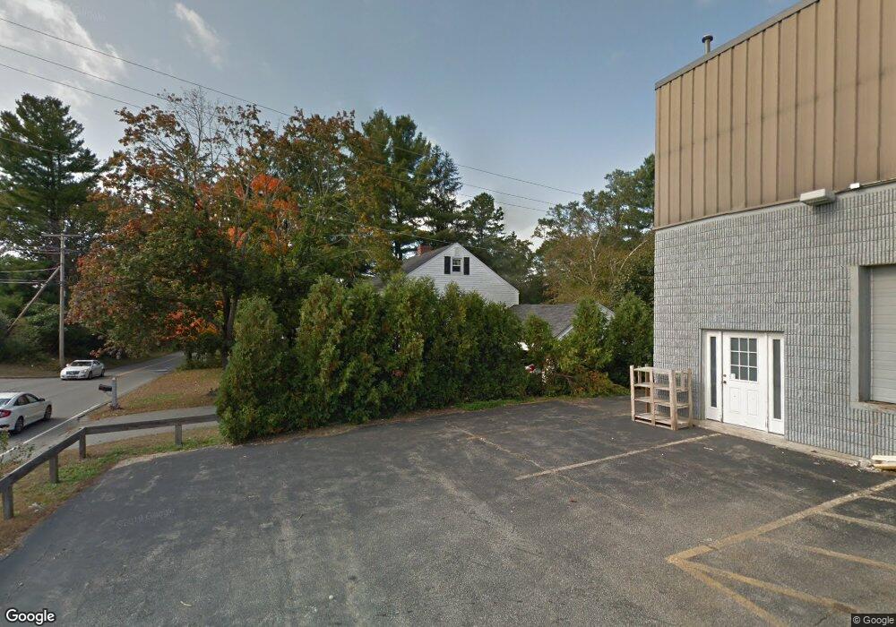
5 Wentworth Ave Plaistow, NH 03865
Estimated Value: $507,488 - $548,000
4
Beds
2
Baths
1,932
Sq Ft
$270/Sq Ft
Est. Value
About This Home
This home is located at 5 Wentworth Ave, Plaistow, NH 03865 and is currently estimated at $521,372, approximately $269 per square foot. 5 Wentworth Ave is a home with nearby schools including Pollard Elementary School, Timberlane Regional Middle School, and Timberlane Regional High School.
Ownership History
Date
Name
Owned For
Owner Type
Purchase Details
Closed on
Feb 2, 2023
Sold by
Dovovan Gail B
Bought by
Donovan Philip J and Donovan Gail B
Current Estimated Value
Create a Home Valuation Report for This Property
The Home Valuation Report is an in-depth analysis detailing your home's value as well as a comparison with similar homes in the area
Home Values in the Area
Average Home Value in this Area
Purchase History
| Date | Buyer | Sale Price | Title Company |
|---|---|---|---|
| Donovan Philip J | -- | None Available |
Source: Public Records
Tax History Compared to Growth
Tax History
| Year | Tax Paid | Tax Assessment Tax Assessment Total Assessment is a certain percentage of the fair market value that is determined by local assessors to be the total taxable value of land and additions on the property. | Land | Improvement |
|---|---|---|---|---|
| 2024 | $6,270 | $302,600 | $113,800 | $188,800 |
| 2023 | $6,760 | $302,600 | $113,800 | $188,800 |
| 2022 | $5,752 | $302,600 | $113,800 | $188,800 |
| 2021 | $5,737 | $302,600 | $113,800 | $188,800 |
| 2020 | $6,295 | $290,780 | $98,980 | $191,800 |
| 2019 | $7,040 | $290,780 | $98,980 | $191,800 |
| 2018 | $5,691 | $231,420 | $83,520 | $147,900 |
| 2017 | $6,585 | $231,420 | $83,520 | $147,900 |
| 2016 | $6,618 | $231,420 | $83,520 | $147,900 |
| 2015 | $5,863 | $242,690 | $102,490 | $140,200 |
| 2014 | $5,320 | $211,680 | $86,380 | $125,300 |
| 2011 | $5,231 | $211,680 | $86,380 | $125,300 |
Source: Public Records
Map
Nearby Homes
- 42 Plaistow Rd
- 22 W Pine St
- 0 Plaistow Rd Unit 73184617
- 8 Iris Way Unit 8
- 113 Brickett Hill Cir Unit 113
- 175 Brickett Hill Cir Unit 175
- 120 Brickett Hill Cir Unit 120
- 201 Oak Ridge Rd
- 207 Oak Ridge Rd
- 55 Ledge Rd
- 28 Forrest St
- 1022 Main St
- 440 North Ave Unit 60
- 440 North Ave Unit 145
- 440 North Ave Unit 234
- 440 North Ave Unit 110
- 15 Canterbury Forest Unit B
- 5 Whiton Place
- 994 Main St
- 28 Westville Rd
- 7 Wentworth Ave
- 12 Plaistow Rd
- 12 New Hampshire 125
- 9 Wentworth Ave
- 18 Plaistow Rd Unit 2
- 18 Plaistow Rd
- 8 Augusta Dr Unit lot 4
- 13 Wentworth Ave
- 13 Plaistow Rd
- 13 Plaistow Rd Unit 13
- 3 Laperle Ave
- 19 Plaistow Road Route 125
- 19 Plaistow Rd
- 5 Laperle Ave
- 21 Plaistow Rd
- 21 Plaistow Rd Unit 4-A
- 7 Laperle Ave
- 7 Laperle Ave Unit A
- 4 Laperle Ave
- 9 Laperle Ave