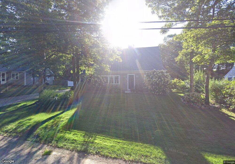
5 Westwind Dr Dennis, MA 02638
East Dennis NeighborhoodEstimated Value: $690,532 - $795,000
2
Beds
1
Bath
800
Sq Ft
$930/Sq Ft
Est. Value
About This Home
This home is located at 5 Westwind Dr, Dennis, MA 02638 and is currently estimated at $744,383, approximately $930 per square foot. 5 Westwind Dr is a home located in Barnstable County with nearby schools including Dennis-Yarmouth Regional High School.
Ownership History
Date
Name
Owned For
Owner Type
Purchase Details
Closed on
Sep 16, 2005
Sold by
Berman Mary D and Berman Shelton L
Bought by
Venancio Charles M and Venancio Stephanie
Current Estimated Value
Home Financials for this Owner
Home Financials are based on the most recent Mortgage that was taken out on this home.
Original Mortgage
$230,000
Interest Rate
5.84%
Mortgage Type
Purchase Money Mortgage
Purchase Details
Closed on
Sep 25, 2001
Sold by
Harrigan Florence R
Bought by
Berman Mary D and Berman Shelton L
Home Financials for this Owner
Home Financials are based on the most recent Mortgage that was taken out on this home.
Original Mortgage
$116,000
Interest Rate
6.98%
Mortgage Type
Purchase Money Mortgage
Purchase Details
Closed on
Apr 20, 2000
Sold by
Ward Donald I and Ward Pamela I
Bought by
Harrigan Florence R
Create a Home Valuation Report for This Property
The Home Valuation Report is an in-depth analysis detailing your home's value as well as a comparison with similar homes in the area
Home Values in the Area
Average Home Value in this Area
Purchase History
| Date | Buyer | Sale Price | Title Company |
|---|---|---|---|
| Venancio Charles M | $287,500 | -- | |
| Berman Mary D | $145,000 | -- | |
| Harrigan Florence R | $127,500 | -- |
Source: Public Records
Mortgage History
| Date | Status | Borrower | Loan Amount |
|---|---|---|---|
| Open | Harrigan Florence R | $214,000 | |
| Closed | Venancio Charles M | $230,000 | |
| Previous Owner | Harrigan Florence R | $116,000 |
Source: Public Records
Tax History
| Year | Tax Paid | Tax Assessment Tax Assessment Total Assessment is a certain percentage of the fair market value that is determined by local assessors to be the total taxable value of land and additions on the property. | Land | Improvement |
|---|---|---|---|---|
| 2025 | $2,694 | $622,200 | $167,100 | $455,100 |
| 2024 | $2,587 | $589,400 | $160,700 | $428,700 |
| 2023 | $2,503 | $536,000 | $146,100 | $389,900 |
| 2022 | $2,373 | $423,700 | $131,600 | $292,100 |
| 2021 | $2,224 | $368,800 | $129,000 | $239,800 |
| 2020 | $2,153 | $353,000 | $129,000 | $224,000 |
| 2019 | $2,095 | $339,600 | $138,000 | $201,600 |
| 2018 | $1,655 | $261,000 | $131,300 | $129,700 |
| 2017 | $1,517 | $246,700 | $120,400 | $126,300 |
| 2016 | $1,590 | $243,500 | $136,800 | $106,700 |
| 2015 | $1,558 | $243,500 | $136,800 | $106,700 |
| 2014 | $1,342 | $211,300 | $120,400 | $90,900 |
Source: Public Records
Map
Nearby Homes
- 58 Terrace Hill Dr
- 61 Terrace Hill Dr
- 31 High Head Rd
- 276 Scargo Hill Rd
- 35 Crown Grant Dr
- 32 Captain Walsh Dr
- 68 Sea Meadow Dr
- 15 Signal Hill Dr
- 6 Thomas Ct
- 645 Main St Back Lot
- 102 Prince Way
- 19 Deacon Joseph Ln
- 26 S West Dr
- 39 Whittier Dr
- 480 Main St
- 59 Hope Ln
- 1354 Route 134
- 268 Main St
- 25 Whig St
- 19 Whig St
- 9 Westwind Dr
- 1 Westwind Dr
- 3 Southport Ln
- 2 Westwind Dr
- 13 Westwind Dr
- 114 Hokum Rock Rd
- 5 Southport Ln
- 14 Lindsey Ln
- 18 Westwind Dr
- 17 Westwind Dr
- 257 Paddocks Path
- 253 Paddocks Path
- 6 Southport Ln
- 110 Hokum Rock Rd
- 21 Westwind Dr
- 22 Westwind Dr
- 245 Paddocks Path
- 25 Westwind Dr
- 5 Northport Ln
- 105 Hokum Rock Rd
Your Personal Tour Guide
Ask me questions while you tour the home.