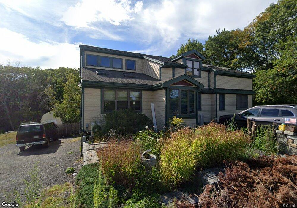
5 Whites Mountain Rd Gloucester, MA 01930
West Gloucester NeighborhoodEstimated Value: $858,000 - $1,059,000
3
Beds
3
Baths
2,707
Sq Ft
$349/Sq Ft
Est. Value
About This Home
This home is located at 5 Whites Mountain Rd, Gloucester, MA 01930 and is currently estimated at $945,345, approximately $349 per square foot. 5 Whites Mountain Rd is a home located in Essex County with nearby schools including West Parish, Ralph B O'maley Middle School, and Gloucester High School.
Ownership History
Date
Name
Owned For
Owner Type
Purchase Details
Closed on
May 14, 2024
Sold by
Smith Donald E and Smith Teresa M
Bought by
Five Wmr Rt and Smith
Current Estimated Value
Purchase Details
Closed on
Nov 24, 2020
Sold by
Smith Donald E and Smith Teresa M
Bought by
Breaker Megan E and Smith Teresa M
Home Financials for this Owner
Home Financials are based on the most recent Mortgage that was taken out on this home.
Original Mortgage
$275,000
Interest Rate
2.8%
Mortgage Type
New Conventional
Purchase Details
Closed on
Oct 1, 1974
Bought by
Smith Donald E and Smith Tere
Create a Home Valuation Report for This Property
The Home Valuation Report is an in-depth analysis detailing your home's value as well as a comparison with similar homes in the area
Home Values in the Area
Average Home Value in this Area
Purchase History
| Date | Buyer | Sale Price | Title Company |
|---|---|---|---|
| Five Wmr Rt | -- | None Available | |
| Five Wmr Rt | -- | None Available | |
| Breaker Megan E | -- | None Available | |
| Smith Donald E | -- | None Available | |
| Breaker Megan E | -- | None Available | |
| Breaker Megan E | -- | None Available | |
| Smith Donald E | -- | None Available | |
| Smith Donald E | -- | -- |
Source: Public Records
Mortgage History
| Date | Status | Borrower | Loan Amount |
|---|---|---|---|
| Previous Owner | Breaker Megan E | $275,000 | |
| Previous Owner | Smith Donald E | $36,000 | |
| Previous Owner | Smith Donald E | $200,000 |
Source: Public Records
Tax History
| Year | Tax Paid | Tax Assessment Tax Assessment Total Assessment is a certain percentage of the fair market value that is determined by local assessors to be the total taxable value of land and additions on the property. | Land | Improvement |
|---|---|---|---|---|
| 2025 | $8,407 | $864,900 | $219,600 | $645,300 |
| 2024 | $8,255 | $848,400 | $209,100 | $639,300 |
| 2023 | $8,524 | $804,900 | $186,700 | $618,200 |
| 2022 | $7,992 | $681,300 | $162,300 | $519,000 |
| 2021 | $7,799 | $626,900 | $147,600 | $479,300 |
| 2020 | $7,392 | $599,500 | $147,600 | $451,900 |
| 2019 | $6,872 | $541,500 | $146,500 | $395,000 |
| 2018 | $6,411 | $495,800 | $146,500 | $349,300 |
| 2017 | $6,125 | $464,400 | $139,500 | $324,900 |
| 2016 | $5,675 | $417,000 | $145,500 | $271,500 |
| 2015 | $5,577 | $408,600 | $145,500 | $263,100 |
Source: Public Records
Map
Nearby Homes
- 368 Essex Ave
- 7 Leaman Dr
- 5 Samoset Rd Unit B
- 587 Essex Ave
- 5 Lepage Ln
- 24 Cobblestone Ln Unit 603
- 167 Atlantic St
- 145 Essex Ave Unit 402
- 178 Atlantic St
- 13 Honeysuckle Rd
- 226 Atlantic St
- 2 Breezy Point Rd
- 3 Deacon Farm Ln
- 31 Echo Ave
- 5 Marshfield St
- 15 Harvard St
- 6 Monroe Ct
- 8 Mystic Ave
- 13 Mystic Ave
- 24 Lufkin St
Your Personal Tour Guide
Ask me questions while you tour the home.