5 Wigwam Cross Rd West Brookfield, MA 01585
Estimated Value: $395,414 - $457,000
4
Beds
3
Baths
2,600
Sq Ft
$161/Sq Ft
Est. Value
About This Home
This home is located at 5 Wigwam Cross Rd, West Brookfield, MA 01585 and is currently estimated at $417,354, approximately $160 per square foot. 5 Wigwam Cross Rd is a home located in Worcester County with nearby schools including Quaboag Regional High School.
Ownership History
Date
Name
Owned For
Owner Type
Purchase Details
Closed on
Feb 9, 2022
Sold by
Bouchard Paul E and Bouchard Susan A
Bought by
5 Wigwam Cross Road Rt and Bouchard
Current Estimated Value
Home Financials for this Owner
Home Financials are based on the most recent Mortgage that was taken out on this home.
Original Mortgage
$280,000
Outstanding Balance
$259,041
Interest Rate
3.56%
Mortgage Type
New Conventional
Estimated Equity
$158,313
Purchase Details
Closed on
Nov 26, 1973
Bought by
Bouchard Paul E and Bouchard Susan A
Create a Home Valuation Report for This Property
The Home Valuation Report is an in-depth analysis detailing your home's value as well as a comparison with similar homes in the area
Home Values in the Area
Average Home Value in this Area
Purchase History
| Date | Buyer | Sale Price | Title Company |
|---|---|---|---|
| 5 Wigwam Cross Road Rt | -- | None Available | |
| 5 Wigwam Cross Road Rt | -- | None Available | |
| Bouchard Paul E | $5,000 | -- |
Source: Public Records
Mortgage History
| Date | Status | Borrower | Loan Amount |
|---|---|---|---|
| Open | 5 Wigwam Cross Road Rt | $280,000 | |
| Closed | 5 Wigwam Cross Road Rt | $280,000 | |
| Previous Owner | Bouchard Paul E | $30,000 |
Source: Public Records
Tax History Compared to Growth
Tax History
| Year | Tax Paid | Tax Assessment Tax Assessment Total Assessment is a certain percentage of the fair market value that is determined by local assessors to be the total taxable value of land and additions on the property. | Land | Improvement |
|---|---|---|---|---|
| 2025 | $3,112 | $288,700 | $60,300 | $228,400 |
| 2024 | $3,242 | $288,700 | $60,300 | $228,400 |
| 2023 | $3,186 | $265,700 | $55,100 | $210,600 |
| 2022 | $3,297 | $249,200 | $52,500 | $196,700 |
| 2021 | $3,263 | $232,600 | $52,500 | $180,100 |
| 2020 | $2,950 | $200,700 | $52,500 | $148,200 |
| 2019 | $3,145 | $200,700 | $52,500 | $148,200 |
| 2018 | $3,143 | $195,600 | $52,500 | $143,100 |
| 2017 | $3,210 | $199,900 | $52,200 | $147,700 |
| 2016 | $3,100 | $199,900 | $52,200 | $147,700 |
| 2015 | $2,995 | $199,900 | $52,200 | $147,700 |
Source: Public Records
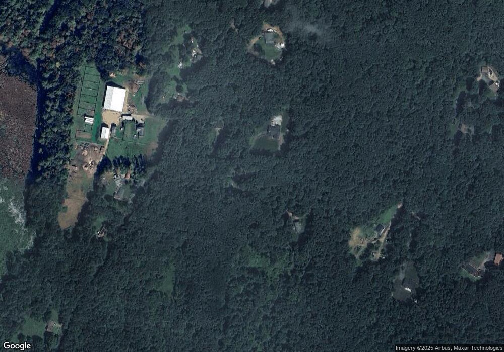
Map
Nearby Homes
- 18-20 Old w Brookfield Rd
- 61 Bates St
- 38 Mount Pleasant St
- 12 Cushing St
- 48 Mill Rd Lot 2e
- 82 Grove St
- 60 Gilbert St
- 179 Pierce Rd
- 260 Wickaboag Valley Rd
- 11 Shea Rd
- 8 Elm St
- 10 Brookfield Rd
- 9 Birch Hill Rd
- 101 School St
- 9 John Gilbert Rd
- 10 Rufus Putnam Rd
- 4 E Brookfield Rd
- 77 Ward St
- 0 Barr Rd
- 19 Pine Trail