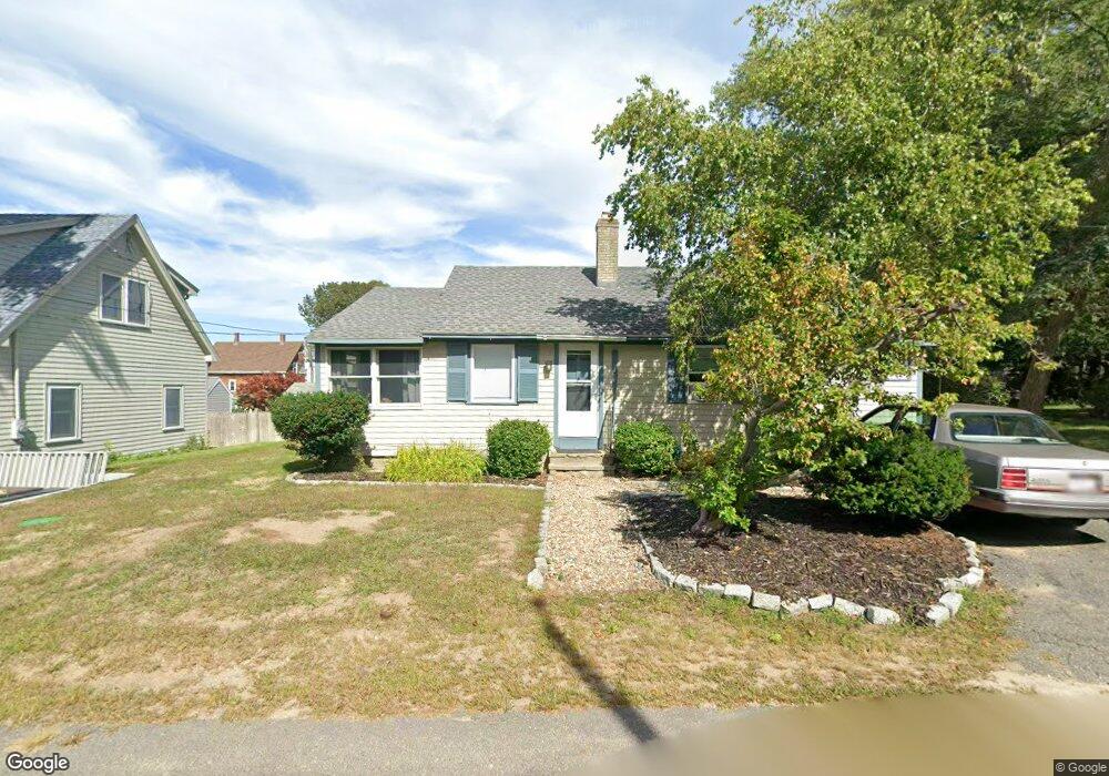
5 Wishart Rd Gloucester, MA 01930
Estimated Value: $560,112 - $793,000
2
Beds
1
Bath
1,182
Sq Ft
$582/Sq Ft
Est. Value
About This Home
This home is located at 5 Wishart Rd, Gloucester, MA 01930 and is currently estimated at $687,778, approximately $581 per square foot. 5 Wishart Rd is a home located in Essex County with nearby schools including Plum Cove School, Ralph B O'maley Middle School, and Gloucester High School.
Ownership History
Date
Name
Owned For
Owner Type
Purchase Details
Closed on
Jun 22, 2016
Sold by
Desmond Keith A
Bought by
Desmond Keith A and Eason-Desmond Adam
Current Estimated Value
Purchase Details
Closed on
Sep 8, 1989
Sold by
Olson Peter
Bought by
Desmond Keith
Create a Home Valuation Report for This Property
The Home Valuation Report is an in-depth analysis detailing your home's value as well as a comparison with similar homes in the area
Purchase History
| Date | Buyer | Sale Price | Title Company |
|---|---|---|---|
| Desmond Keith A | -- | -- | |
| Desmond Keith | $168,000 | -- |
Source: Public Records
Mortgage History
| Date | Status | Borrower | Loan Amount |
|---|---|---|---|
| Previous Owner | Desmond Keith | $109,000 | |
| Previous Owner | Desmond Keith | $113,000 | |
| Previous Owner | Desmond Keith | $116,500 | |
| Previous Owner | Desmond Keith | $117,500 |
Source: Public Records
Tax History
| Year | Tax Paid | Tax Assessment Tax Assessment Total Assessment is a certain percentage of the fair market value that is determined by local assessors to be the total taxable value of land and additions on the property. | Land | Improvement |
|---|---|---|---|---|
| 2025 | $4,321 | $444,500 | $200,600 | $243,900 |
| 2024 | $4,196 | $431,200 | $191,100 | $240,100 |
| 2023 | $4,200 | $396,600 | $170,600 | $226,000 |
| 2022 | $3,942 | $336,100 | $145,000 | $191,100 |
| 2021 | $3,946 | $317,200 | $131,800 | $185,400 |
| 2020 | $3,689 | $299,200 | $131,800 | $167,400 |
| 2019 | $3,642 | $287,000 | $131,800 | $155,200 |
| 2018 | $3,588 | $277,500 | $131,800 | $145,700 |
| 2017 | $3,495 | $265,000 | $125,600 | $139,400 |
| 2016 | $3,329 | $244,600 | $126,000 | $118,600 |
| 2015 | $3,290 | $241,000 | $126,000 | $115,000 |
Source: Public Records
Map
Nearby Homes
- 10 Emerald St
- 43 High St Unit B
- 7 Colburn St
- 13 Phillips Ave
- 32 Haven Ave
- 33 Quarry Ridge Ln Unit 33
- 5 Smith St Unit R
- 672 Washington St
- 1 Main St Unit R
- 1 Main St Unit C
- 1 Charte Ct
- 177 Main St
- 16 Hodgkins Rd Unit 2
- 27 Hodgkins Rd
- 4 Norwood Ave
- 34R Summer St
- 226 Atlantic St
- 2 Breezy Point Rd
- 2 Finch Ln
- 167 Atlantic St
- 7 Wishart Rd
- 4 Norseman Ave
- 8 Norseman Ave
- 4 Wishart Rd
- 46 Langsford St
- 10 Norseman Ave
- 6 Wishart Rd
- 44 Langsford St
- 48 Langsford St
- 11 Wishart Rd
- 3 Norseman Ave
- 3 Ships Bell Rd
- 45 Langsford St
- 42 Langsford St
- 8 Wishart Rd
- 50 Langsford St
- 12 Norseman Ave
- 7 Norseman Ave
- 5 Ships Bell Rd
- 5A Norseman Ave
Your Personal Tour Guide
Ask me questions while you tour the home.