50 Airport Rd Unit 1 Hanover, PA 17331
Estimated Value: $342,000 - $399,051
4
Beds
1
Bath
1,500
Sq Ft
$244/Sq Ft
Est. Value
About This Home
This home is located at 50 Airport Rd Unit 1, Hanover, PA 17331 and is currently estimated at $365,513, approximately $243 per square foot. 50 Airport Rd Unit 1 is a home located in Adams County with nearby schools including New Oxford Senior High School, St. Teresa of Calcutta Catholic School - McSherrystown Campus, and St. Teresa of Calcutta Catholic School - Conewago Campus.
Ownership History
Date
Name
Owned For
Owner Type
Purchase Details
Closed on
Jun 5, 2008
Sold by
Gebhart Raymond F
Bought by
Gebhart Keith
Current Estimated Value
Home Financials for this Owner
Home Financials are based on the most recent Mortgage that was taken out on this home.
Original Mortgage
$280,000
Interest Rate
6.11%
Mortgage Type
New Conventional
Create a Home Valuation Report for This Property
The Home Valuation Report is an in-depth analysis detailing your home's value as well as a comparison with similar homes in the area
Home Values in the Area
Average Home Value in this Area
Purchase History
| Date | Buyer | Sale Price | Title Company |
|---|---|---|---|
| Gebhart Keith | -- | -- |
Source: Public Records
Mortgage History
| Date | Status | Borrower | Loan Amount |
|---|---|---|---|
| Closed | Gebhart Keith | $280,000 |
Source: Public Records
Tax History Compared to Growth
Tax History
| Year | Tax Paid | Tax Assessment Tax Assessment Total Assessment is a certain percentage of the fair market value that is determined by local assessors to be the total taxable value of land and additions on the property. | Land | Improvement |
|---|---|---|---|---|
| 2025 | $6,851 | $286,100 | $96,100 | $190,000 |
| 2024 | $6,328 | $286,100 | $96,100 | $190,000 |
| 2023 | $6,095 | $286,100 | $96,100 | $190,000 |
| 2022 | $5,908 | $286,100 | $96,100 | $190,000 |
| 2021 | $5,757 | $286,100 | $96,100 | $190,000 |
| 2020 | $5,765 | $286,100 | $96,100 | $190,000 |
| 2019 | $5,506 | $286,100 | $96,100 | $190,000 |
| 2018 | $5,391 | $286,100 | $96,100 | $190,000 |
| 2017 | $5,168 | $286,100 | $96,100 | $190,000 |
| 2016 | -- | $286,100 | $96,100 | $190,000 |
| 2015 | -- | $286,100 | $96,100 | $190,000 |
| 2014 | -- | $286,100 | $96,100 | $190,000 |
Source: Public Records
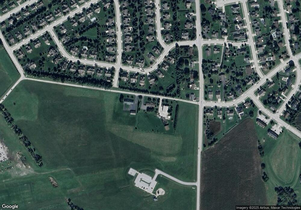
Map
Nearby Homes
- 303 Puma Dr Unit 22
- 129 Main St
- 46 Flint Dr
- 54 Flint Dr
- 84 Red Stone Ln Unit 41
- 92 Red Stone Ln Unit 40
- 62 Flint Dr
- 24 Red Stone Ln Unit 47
- 24 Red Stone Ln
- 65 Flint Dr
- 41 Buckskin
- 11 Shawl Dr
- 617 N Blettner Ave Unit 120
- 11 Flint Dr
- 10 Bear Cir Unit 29
- 337 2 Main
- 108 Flint Dr
- 105 Flint Dr
- 116 Flint Dr
- 113 Flint Dr
- 230 Puma Dr Unit 61
- 70 Airport Rd
- 220 Puma Dr Unit 62
- 210 Puma Dr Unit 63
- 202 Puma Dr Unit 64
- 225 Puma Dr Unit 113
- 397 Mount Pleasant Rd
- 260 Puma Dr Unit 59
- 389 Mount Pleasant Rd
- 255 Puma Dr Unit 112
- 205 Puma Dr Unit 114
- 377 Mount Pleasant Rd
- 198 Puma Dr Unit 65
- 270 Puma Dr Unit 58
- 265 Puma Dr Unit 111
- 365 Mount Pleasant Rd Unit 4
- 51 Bristol Dr Unit 115
- 184 Puma Dr Unit 66
- 60 Bristol Dr Unit 127
- 164 Lynx Dr Unit 35