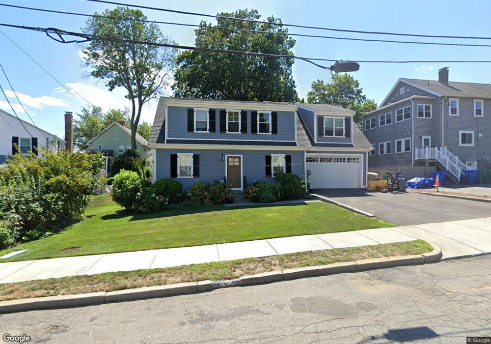
50 Annapolis Rd West Newton, MA 02465
West Newton NeighborhoodEstimated Value: $1,514,000 - $1,559,000
3
Beds
4
Baths
2,158
Sq Ft
$712/Sq Ft
Est. Value
About This Home
This home is located at 50 Annapolis Rd, West Newton, MA 02465 and is currently estimated at $1,535,574, approximately $711 per square foot. 50 Annapolis Rd is a home located in Middlesex County with nearby schools including Franklin Elementary School, F.A. Day Middle School, and Newton North High School.
Ownership History
Date
Name
Owned For
Owner Type
Purchase Details
Closed on
Nov 21, 2014
Sold by
Ann L Pilla Ft
Bought by
Quinn Douglas E and Quinn Janet L
Current Estimated Value
Home Financials for this Owner
Home Financials are based on the most recent Mortgage that was taken out on this home.
Original Mortgage
$436,000
Outstanding Balance
$333,991
Interest Rate
4%
Mortgage Type
New Conventional
Estimated Equity
$1,201,583
Purchase Details
Closed on
May 22, 2008
Sold by
Pilla Ann L and Pilla William
Bought by
Ann L Pilla Ft and Pilla Ann L
Create a Home Valuation Report for This Property
The Home Valuation Report is an in-depth analysis detailing your home's value as well as a comparison with similar homes in the area
Home Values in the Area
Average Home Value in this Area
Purchase History
| Date | Buyer | Sale Price | Title Company |
|---|---|---|---|
| Quinn Douglas E | $545,000 | -- | |
| Ann L Pilla Ft | -- | -- |
Source: Public Records
Mortgage History
| Date | Status | Borrower | Loan Amount |
|---|---|---|---|
| Open | Quinn Douglas E | $436,000 |
Source: Public Records
Tax History Compared to Growth
Tax History
| Year | Tax Paid | Tax Assessment Tax Assessment Total Assessment is a certain percentage of the fair market value that is determined by local assessors to be the total taxable value of land and additions on the property. | Land | Improvement |
|---|---|---|---|---|
| 2025 | $13,122 | $1,339,000 | $771,500 | $567,500 |
| 2024 | $12,688 | $1,300,000 | $749,000 | $551,000 |
| 2023 | $12,038 | $1,182,500 | $565,900 | $616,600 |
| 2022 | $11,518 | $1,094,900 | $524,000 | $570,900 |
| 2021 | $11,114 | $1,032,900 | $494,300 | $538,600 |
| 2020 | $10,783 | $1,032,900 | $494,300 | $538,600 |
| 2019 | $10,479 | $1,002,800 | $479,900 | $522,900 |
| 2018 | $10,068 | $930,500 | $380,600 | $549,900 |
| 2017 | $10,457 | $940,400 | $472,700 | $467,700 |
| 2016 | $6,051 | $531,700 | $441,800 | $89,900 |
| 2015 | $5,017 | $432,100 | $359,100 | $73,000 |
Source: Public Records
Map
Nearby Homes
- 75 Cherry St
- 76 Taft Ave Unit 1
- 76 Taft Ave
- 76 Taft Ave Unit 2
- 76 Harding St
- 162 Myrtle St Unit 1
- 138 Myrtle St Unit 2
- 24 Tolman St Unit A
- 39 Clinton St Unit 2
- 39 Clinton St Unit 1
- 41 Kilburn Rd
- 287 Cherry St Unit 2
- 308 Newton St Unit 1
- 312 Newton St Unit 1A
- 56 Dearborn St
- 44 Westland Ave
- 81 Alder St
- 31-37 Washington Ave
- 14 Cottage Place Unit 14
- 1 Farwell Cir
- 49 Fordham Rd
- 90 Cherry St Unit 2
- 90 Cherry St Unit 92
- 90 Cherry St Unit 92
- 90 Cherry St Unit 1
- 90 Cherry St Unit 90
- 90 Cherry St
- 37 Fordham Rd Unit 39
- 57 Fordham Rd Unit 59
- 98 Cherry St
- 80 Cherry St Unit 82
- 50 Fordham Rd
- 33 Fordham Rd
- 104 Cherry St
- 69 Fordham Rd Unit 71
- 71 Fordham Rd Unit 2
- 71 Fordham Rd Unit 2nd floor
- 71 Fordham Rd Unit 1
- 71 Fordham Rd
- 76 Cherry St Unit 78