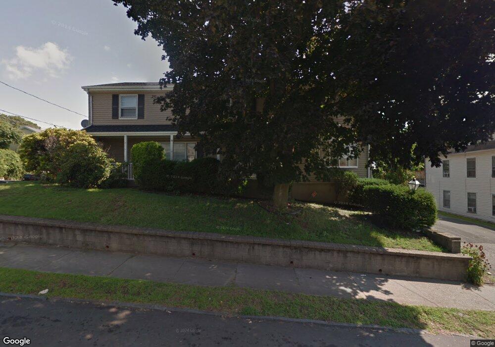
50 Anson St Bridgeport, CT 06606
Brooklawn-Saint Vincent NeighborhoodEstimated Value: $420,000 - $560,827
4
Beds
3
Baths
3,024
Sq Ft
$161/Sq Ft
Est. Value
About This Home
This home is located at 50 Anson St, Bridgeport, CT 06606 and is currently estimated at $487,707, approximately $161 per square foot. 50 Anson St is a home located in Fairfield County with nearby schools including Read School, Central High School, and Catholic Academy of Bridgeport-St. Raphael Academy.
Ownership History
Date
Name
Owned For
Owner Type
Purchase Details
Closed on
Oct 1, 2001
Sold by
Jragone Annamae
Bought by
Bell Katherine R and Bell Garnell
Current Estimated Value
Home Financials for this Owner
Home Financials are based on the most recent Mortgage that was taken out on this home.
Original Mortgage
$169,251
Interest Rate
6.91%
Create a Home Valuation Report for This Property
The Home Valuation Report is an in-depth analysis detailing your home's value as well as a comparison with similar homes in the area
Home Values in the Area
Average Home Value in this Area
Purchase History
| Date | Buyer | Sale Price | Title Company |
|---|---|---|---|
| Bell Katherine R | $175,000 | -- | |
| Bell Katherine R | $175,000 | -- |
Source: Public Records
Mortgage History
| Date | Status | Borrower | Loan Amount |
|---|---|---|---|
| Open | Bell Katherine R | $305,000 | |
| Closed | Bell Katherine R | $284,000 | |
| Closed | Bell Katherine R | $229,500 | |
| Closed | Bell Katherine R | $169,251 |
Source: Public Records
Tax History Compared to Growth
Tax History
| Year | Tax Paid | Tax Assessment Tax Assessment Total Assessment is a certain percentage of the fair market value that is determined by local assessors to be the total taxable value of land and additions on the property. | Land | Improvement |
|---|---|---|---|---|
| 2025 | $10,312 | $237,320 | $71,970 | $165,350 |
| 2024 | $10,312 | $237,320 | $71,970 | $165,350 |
| 2023 | $10,312 | $237,320 | $71,970 | $165,350 |
| 2022 | $10,312 | $237,320 | $71,970 | $165,350 |
| 2021 | $10,312 | $237,320 | $71,970 | $165,350 |
| 2020 | $10,513 | $194,720 | $48,450 | $146,270 |
| 2019 | $10,513 | $194,720 | $48,450 | $146,270 |
| 2018 | $10,587 | $194,720 | $48,450 | $146,270 |
| 2017 | $10,587 | $194,720 | $48,450 | $146,270 |
| 2016 | $10,587 | $194,720 | $48,450 | $146,270 |
| 2015 | $10,323 | $244,630 | $48,870 | $195,760 |
| 2014 | $10,323 | $244,630 | $48,870 | $195,760 |
Source: Public Records
Map
Nearby Homes
- 330 French St
- 936 Lindley St
- 2395 Main St Unit 2397
- 25 Manhattan Ave Unit 27
- 724 Capitol Ave Unit 726
- 508 Hawley Ave
- 119 Madison Terrace
- 106 Manhattan Ave Unit 108
- 123 Harlem Ave
- 390 Charles St Unit 106
- 926 Hart St
- 916 Hart St
- 76 Porter St
- 203 Wayne St
- 39 Infield St
- 252 Harlem Ave Unit B6
- 252 Harlem Ave Unit B5
- 90 Tom Thumb St
- 1265 Lindley St
- 178 Island Brook Ave