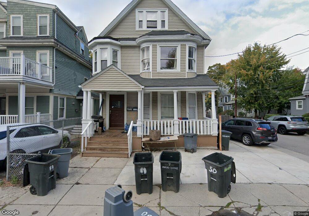
50 Ashford St Allston, MA 02134
Allston NeighborhoodEstimated Value: $1,436,000 - $1,793,000
6
Beds
2
Baths
--
Sq Ft
3,964
Sq Ft Lot
About This Home
This home is located at 50 Ashford St, Allston, MA 02134 and is currently estimated at $1,607,866. 50 Ashford St is a home located in Suffolk County with nearby schools including Match Charter Public School, St Herman Of Alaska Christian School, and Boston University Academy.
Ownership History
Date
Name
Owned For
Owner Type
Purchase Details
Closed on
Dec 29, 2015
Sold by
Gao Ru W and Zhang Huanling
Bought by
Hefu Llc
Current Estimated Value
Home Financials for this Owner
Home Financials are based on the most recent Mortgage that was taken out on this home.
Original Mortgage
$900,000
Outstanding Balance
$716,491
Interest Rate
3.99%
Mortgage Type
Purchase Money Mortgage
Estimated Equity
$891,375
Purchase Details
Closed on
Apr 1, 2010
Sold by
Zahlaway Russell M
Bought by
Gao Ru W and Zhang Huanling
Create a Home Valuation Report for This Property
The Home Valuation Report is an in-depth analysis detailing your home's value as well as a comparison with similar homes in the area
Home Values in the Area
Average Home Value in this Area
Purchase History
| Date | Buyer | Sale Price | Title Company |
|---|---|---|---|
| Hefu Llc | -- | -- | |
| Gao Ru W | $550,000 | -- |
Source: Public Records
Mortgage History
| Date | Status | Borrower | Loan Amount |
|---|---|---|---|
| Open | Hefu Llc | $900,000 |
Source: Public Records
Tax History Compared to Growth
Tax History
| Year | Tax Paid | Tax Assessment Tax Assessment Total Assessment is a certain percentage of the fair market value that is determined by local assessors to be the total taxable value of land and additions on the property. | Land | Improvement |
|---|---|---|---|---|
| 2025 | $14,626 | $1,263,000 | $432,800 | $830,200 |
| 2024 | $14,311 | $1,312,900 | $403,700 | $909,200 |
| 2023 | $14,101 | $1,312,900 | $403,700 | $909,200 |
| 2022 | $12,985 | $1,193,500 | $367,000 | $826,500 |
| 2021 | $12,735 | $1,193,500 | $367,000 | $826,500 |
| 2020 | $12,030 | $1,139,200 | $306,200 | $833,000 |
| 2019 | $11,658 | $1,106,100 | $234,300 | $871,800 |
| 2018 | $10,935 | $1,043,400 | $234,300 | $809,100 |
| 2017 | $9,557 | $902,500 | $234,300 | $668,200 |
| 2016 | $8,708 | $791,600 | $234,300 | $557,300 |
| 2015 | $9,251 | $763,900 | $185,100 | $578,800 |
| 2014 | $8,191 | $651,100 | $185,100 | $466,000 |
Source: Public Records
Map
Nearby Homes
- 46 Pratt St
- 97 Chester St Unit 8
- 106 Chester St Unit 3
- 59 Brighton Ave Unit 1
- 57 Brighton Ave Unit B
- 57 Brighton Ave Unit C
- 1 Highgate St
- 8 Franklin St Unit 401
- 8 Franklin St Unit 202
- 4 Franklin St Unit 403
- 21 Park Vale Ave Unit 2
- 42 Hopedale St
- 11 Abbottsford Rd
- 30 Glenville Ave Unit 1
- 16 Royce Rd Unit 4
- 53 Quint Ave
- 116 Thorndike St Unit 1
- 116 Thorndike St
- 116 Thorndike St Unit 2
- 1269 Commonwealth Ave Unit 5
- 50 Ashford St Unit 4
- 50 Ashford St Unit 6
- 50 Ashford St Unit 3
- 50 Ashford St Unit Ashford St Allston
- 50 Ashford St Unit 5
- 50 Ashford St
- 50 Ashford St Unit U
- 50 Ashford St Unit 1
- 50 Ashford St Unit 2
- 48 Ashford St
- 48 Ashford St Unit 12
- 48 Ashford St Unit 35
- 48 Ashford St Unit 3
- 48 Ashford St Unit uni1 6-bed 2-bath
- 48 Ashford St Unit 53
- 48 Ashford St
- 48 Ashford St Unit 111
- 48 Ashford St Unit 4
- 48 Ashford St Unit U
- 48 Ashford St Unit 1