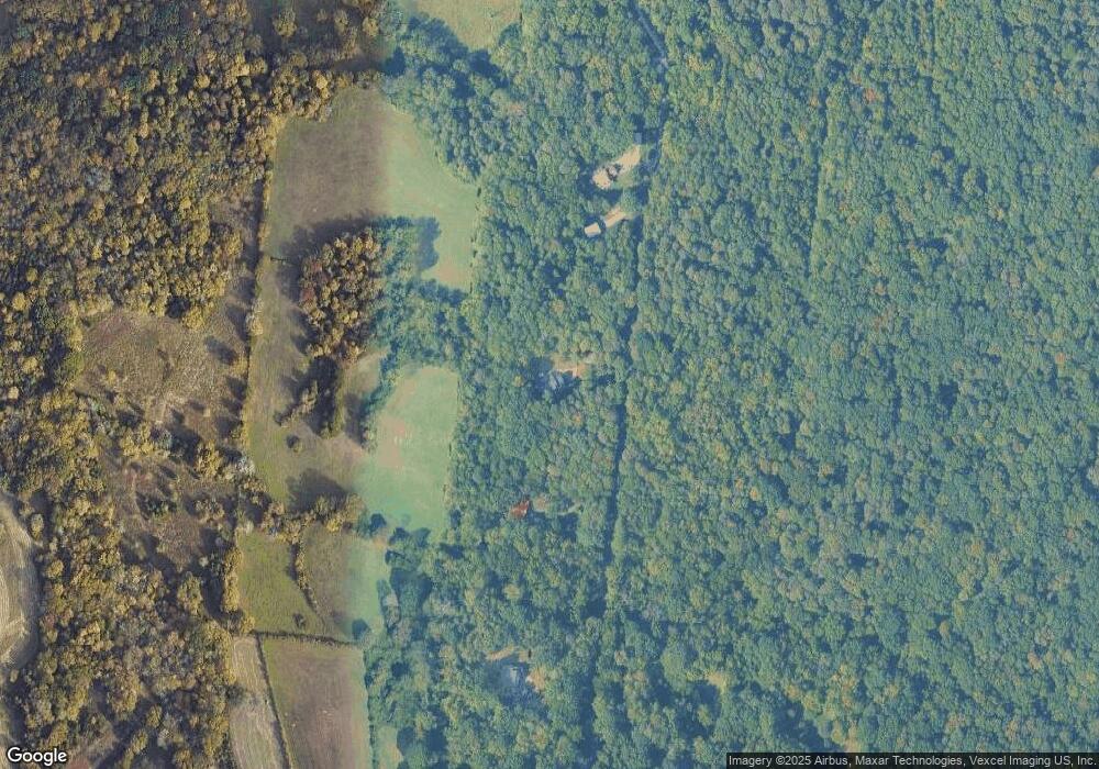
50 Battle Ridge Ln Nolensville, TN 37135
Estimated Value: $1,023,000 - $1,272,000
4
Beds
4
Baths
3,642
Sq Ft
$316/Sq Ft
Est. Value
About This Home
This home is located at 50 Battle Ridge Ln, Nolensville, TN 37135 and is currently estimated at $1,149,089, approximately $315 per square foot. 50 Battle Ridge Ln is a home located in Davidson County with nearby schools including A.Z. Kelley Elementary School, Thurgood Marshall Middle School, and Cane Ridge High School.
Ownership History
Date
Name
Owned For
Owner Type
Purchase Details
Closed on
Oct 20, 2000
Sold by
Zaring Homes Inc
Bought by
Wilkerson Randolph and Wilkerson Crystal
Current Estimated Value
Home Financials for this Owner
Home Financials are based on the most recent Mortgage that was taken out on this home.
Original Mortgage
$252,700
Outstanding Balance
$92,091
Interest Rate
7.91%
Estimated Equity
$1,056,998
Purchase Details
Closed on
Jun 16, 2000
Sold by
Guess L Darold
Bought by
Zaring Homes Inc
Create a Home Valuation Report for This Property
The Home Valuation Report is an in-depth analysis detailing your home's value as well as a comparison with similar homes in the area
Home Values in the Area
Average Home Value in this Area
Purchase History
| Date | Buyer | Sale Price | Title Company |
|---|---|---|---|
| Wilkerson Randolph | $355,616 | -- | |
| Zaring Homes Inc | $65,000 | -- |
Source: Public Records
Mortgage History
| Date | Status | Borrower | Loan Amount |
|---|---|---|---|
| Open | Wilkerson Randolph | $252,700 | |
| Closed | Wilkerson Randolph | $27,200 |
Source: Public Records
Tax History Compared to Growth
Tax History
| Year | Tax Paid | Tax Assessment Tax Assessment Total Assessment is a certain percentage of the fair market value that is determined by local assessors to be the total taxable value of land and additions on the property. | Land | Improvement |
|---|---|---|---|---|
| 2024 | $5,125 | $175,400 | $46,675 | $128,725 |
| 2023 | $5,125 | $175,400 | $46,675 | $128,725 |
| 2022 | $3,417 | $175,400 | $46,675 | $128,725 |
| 2021 | $5,180 | $175,400 | $46,675 | $128,725 |
| 2020 | $5,437 | $143,525 | $38,900 | $104,625 |
| 2019 | $3,954 | $143,525 | $38,900 | $104,625 |
| 2018 | $3,954 | $143,525 | $38,900 | $104,625 |
| 2017 | $3,954 | $143,525 | $38,900 | $104,625 |
| 2016 | $4,495 | $114,550 | $34,100 | $80,450 |
| 2015 | $4,495 | $114,550 | $34,100 | $80,450 |
| 2014 | $4,495 | $114,550 | $34,100 | $80,450 |
Source: Public Records
Map
Nearby Homes
- 349 Moira Cir
- 6580 Burkitt Rd
- 1588 Winding Creek Dr
- 2319 Fairchild Cir
- 1936 Grace Point Ln
- 3006 Winterberry Dr
- 3010 Winterberry Dr
- 3009 Winterberry Dr
- 4141 Brendlyn Dr
- 4129 Brendlyn Dr
- 2226 Paden Rd
- 2223 Potter Place
- 4137 Brendlyn Dr
- 2222 Potter Place
- 2215 Potter Place
- 4133 Brendlyn Dr
- 2219 Potter Place
- 2211 Potter Place
- 2292 Mcfarlin Rd
- Ansley Plan at The Mill at McFarlin - Estates Series
- 60 Battle Ridge Ln
- 40 Battle Ridge Ln
- 70 Battle Ridge Ln
- 41 Battle Ridge Ln
- 30 Battle Ridge Ln
- 205 Battle Rd
- 80 Battle Ridge Ln
- 20 Battle Ridge Ln
- 642 Battle Rd
- 754 Battle Rd
- 746 Battle Rd
- 750 Battle Rd
- 646 Battle Rd
- 6 Battle Rd
- 736 Battle Rd
- 770 Battle Rd
- 652 Battle Rd
- 846 Battle Rd
- 672 Battle Rd
- 878 Battle Rd
