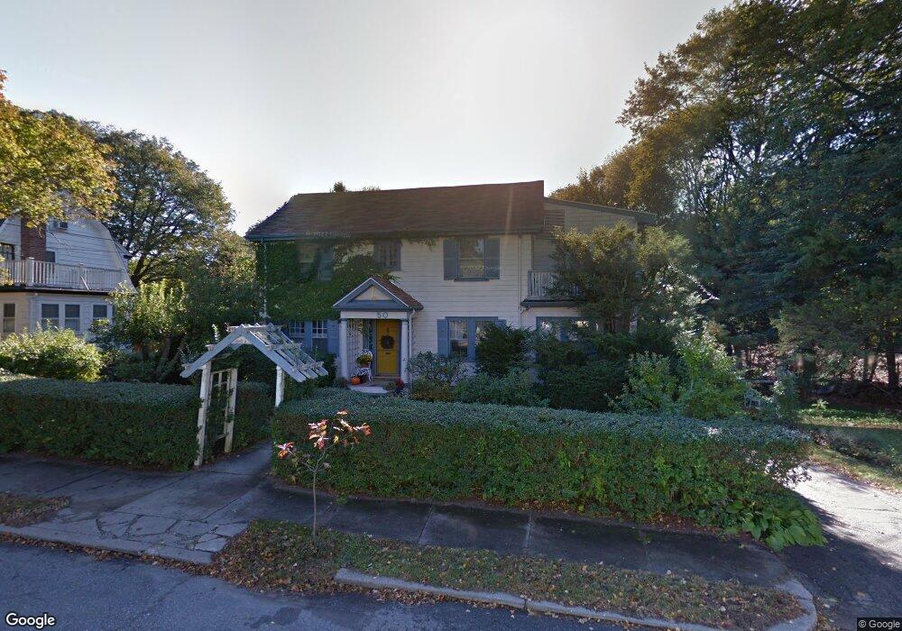
50 Brewster Rd Newton Highlands, MA 02461
Waban NeighborhoodEstimated Value: $1,346,879 - $1,556,000
3
Beds
2
Baths
1,958
Sq Ft
$738/Sq Ft
Est. Value
About This Home
This home is located at 50 Brewster Rd, Newton Highlands, MA 02461 and is currently estimated at $1,444,970, approximately $737 per square foot. 50 Brewster Rd is a home located in Middlesex County with nearby schools including Zervas Elementary School, Oak Hill Middle School, and Newton South High School.
Ownership History
Date
Name
Owned For
Owner Type
Purchase Details
Closed on
Jun 3, 2021
Sold by
Wilkin Robert G and Wilkin Sue A
Bought by
50 Brewster Road Rt
Current Estimated Value
Create a Home Valuation Report for This Property
The Home Valuation Report is an in-depth analysis detailing your home's value as well as a comparison with similar homes in the area
Home Values in the Area
Average Home Value in this Area
Purchase History
| Date | Buyer | Sale Price | Title Company |
|---|---|---|---|
| 50 Brewster Road Rt | -- | None Available |
Source: Public Records
Tax History Compared to Growth
Tax History
| Year | Tax Paid | Tax Assessment Tax Assessment Total Assessment is a certain percentage of the fair market value that is determined by local assessors to be the total taxable value of land and additions on the property. | Land | Improvement |
|---|---|---|---|---|
| 2025 | $9,685 | $988,300 | $811,200 | $177,100 |
| 2024 | $9,365 | $959,500 | $787,600 | $171,900 |
| 2023 | $8,842 | $868,600 | $593,000 | $275,600 |
| 2022 | $198 | $804,300 | $549,100 | $255,200 |
| 2021 | $197 | $758,800 | $518,000 | $240,800 |
| 2020 | $191 | $758,800 | $518,000 | $240,800 |
| 2019 | $186 | $736,700 | $502,900 | $233,800 |
| 2018 | $187 | $678,000 | $455,900 | $222,100 |
| 2017 | $189 | $639,600 | $430,100 | $209,500 |
| 2016 | $6,803 | $597,800 | $402,000 | $195,800 |
Source: Public Records
Map
Nearby Homes
- 120 Stanley Rd
- 131 Oliver Rd
- 35 Bradford Rd
- 17 Circuit Ave Unit 2
- 59 Roundwood Rd
- 200 Lincoln St
- 832 Chestnut St
- 873 Chestnut St
- 829 Chestnut St
- 6 Chatham Rd
- 103 Thurston Rd
- 35 Kingston Rd
- 66 Rockland Place
- 102 Thurston Rd Unit 100
- 968 Chestnut St
- 29 Cottage St
- 3 Glenmore Terrace Unit 2
- 992 Chestnut St
- 989 Chestnut St Unit 8
- 80 Pine Ridge Rd
- 121 Carver Rd
- 4 Mayflower Terrace
- 44 Brewster Rd
- 148 Stanley Rd
- 10 Mayflower Terrace
- 154 Stanley Rd
- 38 Brewster Rd
- 115 Carver Rd
- 140 Stanley Rd
- 122 Carver Rd
- 14 Mayflower Terrace
- 32 Brewster Rd
- 37 Brewster Rd
- 11 Mayflower Terrace
- 116 Carver Rd
- 109 Carver Rd
- 132 Stanley Rd
- 33 Brewster Rd
- 126 Stanley Rd
- 28 Brewster Rd