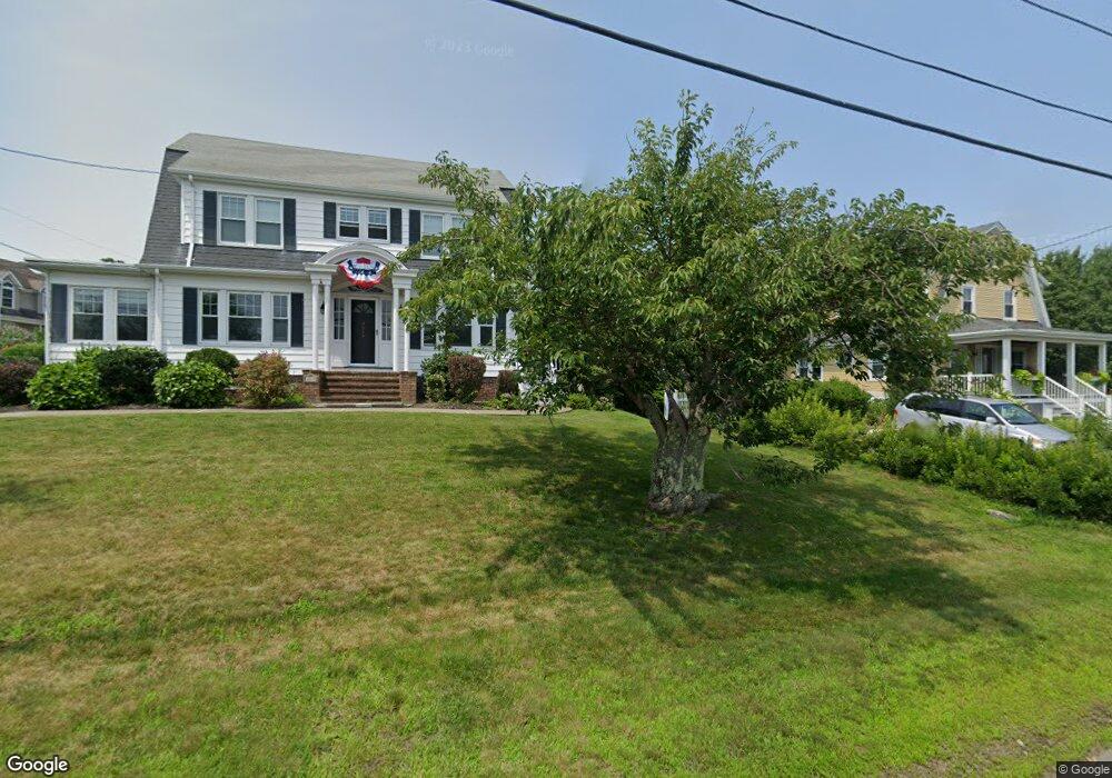
50 Captains Way Somerset, MA 02726
Pottersville NeighborhoodEstimated Value: $612,000 - $697,365
4
Beds
4
Baths
1,742
Sq Ft
$374/Sq Ft
Est. Value
About This Home
This home is located at 50 Captains Way, Somerset, MA 02726 and is currently estimated at $651,591, approximately $374 per square foot. 50 Captains Way is a home located in Bristol County with nearby schools including North Elementary School, Somerset Middle School, and St. Michael's School.
Ownership History
Date
Name
Owned For
Owner Type
Purchase Details
Closed on
Aug 17, 1988
Sold by
Chandy A John
Bought by
Mcgee Norman H
Current Estimated Value
Home Financials for this Owner
Home Financials are based on the most recent Mortgage that was taken out on this home.
Original Mortgage
$190,000
Interest Rate
10.32%
Mortgage Type
Purchase Money Mortgage
Create a Home Valuation Report for This Property
The Home Valuation Report is an in-depth analysis detailing your home's value as well as a comparison with similar homes in the area
Home Values in the Area
Average Home Value in this Area
Purchase History
| Date | Buyer | Sale Price | Title Company |
|---|---|---|---|
| Mcgee Norman H | $230,000 | -- |
Source: Public Records
Mortgage History
| Date | Status | Borrower | Loan Amount |
|---|---|---|---|
| Open | Mcgee Norman H | $153,500 | |
| Closed | Mcgee Norman H | $190,000 |
Source: Public Records
Tax History Compared to Growth
Tax History
| Year | Tax Paid | Tax Assessment Tax Assessment Total Assessment is a certain percentage of the fair market value that is determined by local assessors to be the total taxable value of land and additions on the property. | Land | Improvement |
|---|---|---|---|---|
| 2025 | $8,152 | $612,900 | $209,200 | $403,700 |
| 2024 | $7,563 | $591,300 | $209,200 | $382,100 |
| 2023 | $6,788 | $535,300 | $190,200 | $345,100 |
| 2022 | $6,307 | $474,600 | $165,500 | $309,100 |
| 2021 | $6,377 | $434,400 | $150,500 | $283,900 |
| 2020 | $6,106 | $401,200 | $150,500 | $250,700 |
| 2019 | $6,915 | $378,900 | $150,500 | $228,400 |
| 2018 | $6,199 | $365,500 | $150,500 | $215,000 |
| 2017 | $6,179 | $355,100 | $150,500 | $204,600 |
| 2016 | $6,218 | $355,100 | $150,500 | $204,600 |
| 2015 | $6,086 | $350,800 | $160,500 | $190,300 |
| 2014 | $9,348 | $387,100 | $160,500 | $226,600 |
Source: Public Records
Map
Nearby Homes
- 138 Bourn Ave
- 2546 County St
- 190 Gibbs St
- 224 Chace St
- 112 Rounseville Ave
- 239 Maple St
- 64 Midland Rd
- 95 Brookside Rd
- 601 Eastview Ave
- 135 Grove Ave
- 604 Lafayette St
- 0 Palmer St
- 562 Main St
- 34 Barry Ave
- 64 Denham Ave
- 69 Denham Ave
- 4700 N Main St Unit 3E
- 165 Yankee Peddler Dr
- 2714 Riverside Ave
- 50 Pratt Ave
- 35 Captains Way
- 4059 Riverside Ave
- 4079 Riverside Ave
- 70 Captains Way
- 55 Captains Way
- 11 Captains Way
- 4105 Riverside Ave
- 75 Captains Way
- 4019 Riverside Ave
- 90 Captains Way
- 4005 Riverside Ave
- 95 Captains Way
- 24 Carrie Hood Ln
- 97 Keegan Ct
- 30 Keegan Ct
- 45 Carrie Hood Ln
- 33 Carrie Hood Ln
- 4143 Riverside Ave
- 3985 Riverside Ave
- 95 Keegan Ct