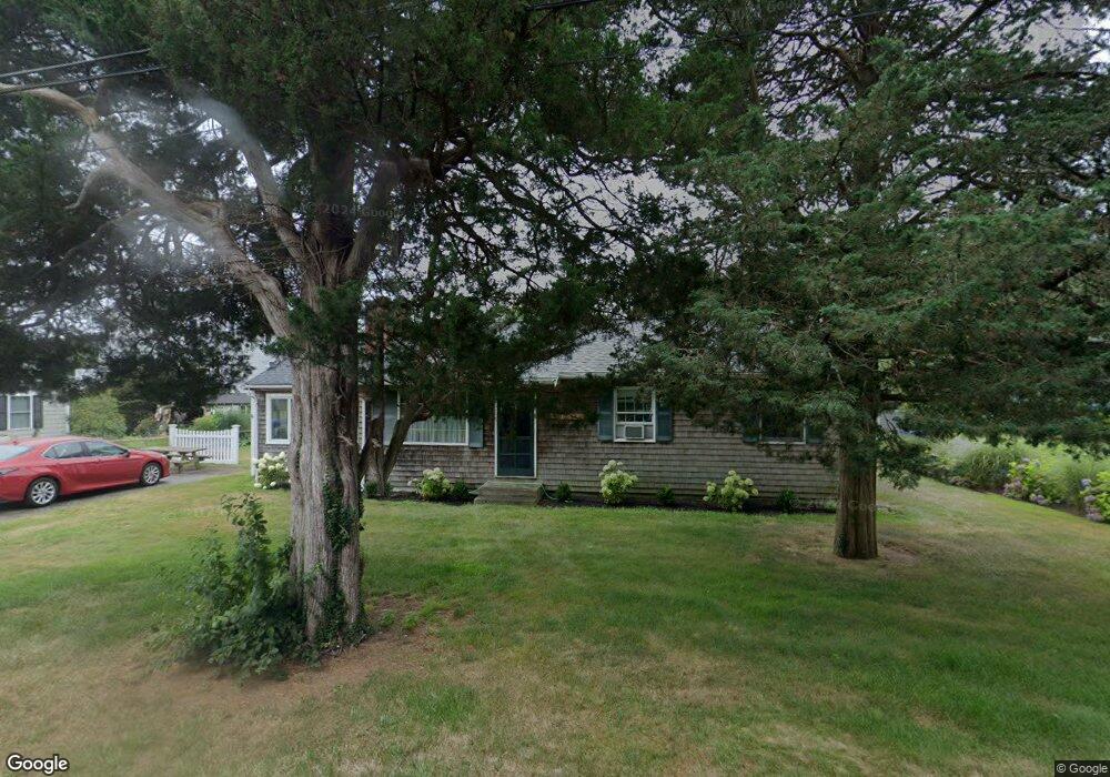
50 Cedar Point Dr Pocasset, MA 02559
Pocasset NeighborhoodEstimated Value: $632,000 - $730,000
3
Beds
1
Bath
912
Sq Ft
$761/Sq Ft
Est. Value
About This Home
This home is located at 50 Cedar Point Dr, Pocasset, MA 02559 and is currently estimated at $694,092, approximately $761 per square foot. 50 Cedar Point Dr is a home located in Barnstable County with nearby schools including Bourne High School and Cadence Academy Preschool - Bourne.
Ownership History
Date
Name
Owned For
Owner Type
Purchase Details
Closed on
Jul 17, 2023
Sold by
Cynthia Korzon Rt and Korzon
Bought by
Cynthia E Korzon Lt and Korzon
Current Estimated Value
Purchase Details
Closed on
Oct 1, 2020
Sold by
Korzon Cynthia E
Bought by
Cynthia Korzon Rt and Korzon
Create a Home Valuation Report for This Property
The Home Valuation Report is an in-depth analysis detailing your home's value as well as a comparison with similar homes in the area
Home Values in the Area
Average Home Value in this Area
Purchase History
| Date | Buyer | Sale Price | Title Company |
|---|---|---|---|
| Cynthia E Korzon Lt | -- | None Available | |
| Cynthia E Korzon Lt | -- | None Available | |
| Cynthia Korzon Rt | -- | None Available | |
| Cynthia Korzon Rt | -- | None Available |
Source: Public Records
Tax History Compared to Growth
Tax History
| Year | Tax Paid | Tax Assessment Tax Assessment Total Assessment is a certain percentage of the fair market value that is determined by local assessors to be the total taxable value of land and additions on the property. | Land | Improvement |
|---|---|---|---|---|
| 2025 | $4,513 | $577,800 | $381,000 | $196,800 |
| 2024 | $4,413 | $550,200 | $362,800 | $187,400 |
| 2023 | $4,276 | $485,400 | $321,100 | $164,300 |
| 2022 | $3,857 | $382,300 | $251,900 | $130,400 |
| 2021 | $3,746 | $347,800 | $229,200 | $118,600 |
| 2020 | $3,645 | $339,400 | $227,000 | $112,400 |
| 2019 | $3,501 | $333,100 | $227,000 | $106,100 |
| 2018 | $3,350 | $317,800 | $221,800 | $96,000 |
| 2017 | $3,241 | $314,700 | $219,700 | $95,000 |
| 2016 | $3,040 | $299,200 | $208,700 | $90,500 |
| 2015 | $2,812 | $279,200 | $192,300 | $86,900 |
Source: Public Records
Map
Nearby Homes
- 22 Nairn Rd
- 48 Red Brook Harbor Rd
- 3 Red Brook Pond Dr
- 1094 County Rd
- 171 Bellavista Dr
- 940 County Rd
- 34 Kenwood Rd
- 45 Kenwood Rd
- 254 Barlows Landing Rd
- 70 Wings Neck Rd
- 75 Winsor Rd
- 10 Squeteague Harbor Rd
- 89 Harbor Dr
- 24 Richmond Rd
- 940 County Rd
- 1234 Route 28a
- 1234 Route 28a
- 709 County Rd
- 7 4th Ave
- 174 Barlows Landing Rd