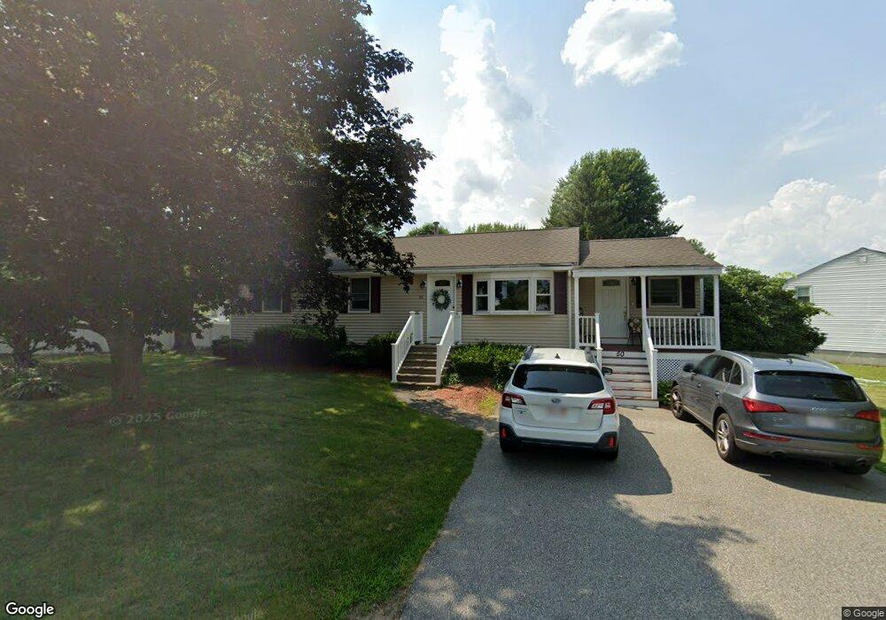
50 Chippy Ln Methuen, MA 01844
The East End NeighborhoodEstimated Value: $537,286 - $594,000
3
Beds
2
Baths
1,239
Sq Ft
$464/Sq Ft
Est. Value
About This Home
This home is located at 50 Chippy Ln, Methuen, MA 01844 and is currently estimated at $575,322, approximately $464 per square foot. 50 Chippy Ln is a home located in Essex County with nearby schools including Methuen High School, Community Day Charter Public School - Gateway, and Saint Monica School.
Ownership History
Date
Name
Owned For
Owner Type
Purchase Details
Closed on
Jan 18, 2024
Sold by
Daniels Marshall R and Daniels Joyce M
Bought by
Daniels Ft and Daniels
Current Estimated Value
Purchase Details
Closed on
Aug 19, 1996
Sold by
Groves Michael
Bought by
Daniels Marshall R
Home Financials for this Owner
Home Financials are based on the most recent Mortgage that was taken out on this home.
Original Mortgage
$103,600
Interest Rate
8.08%
Mortgage Type
Purchase Money Mortgage
Create a Home Valuation Report for This Property
The Home Valuation Report is an in-depth analysis detailing your home's value as well as a comparison with similar homes in the area
Home Values in the Area
Average Home Value in this Area
Purchase History
| Date | Buyer | Sale Price | Title Company |
|---|---|---|---|
| Daniels Ft | -- | None Available | |
| Daniels Ft | -- | None Available | |
| Daniels Ft | -- | None Available | |
| Daniels Marshall R | $129,500 | -- | |
| Daniels Marshall R | $129,500 | -- |
Source: Public Records
Mortgage History
| Date | Status | Borrower | Loan Amount |
|---|---|---|---|
| Previous Owner | Daniels Marshall R | $117,230 | |
| Previous Owner | Daniels Marshall R | $121,500 | |
| Previous Owner | Daniels Marshall R | $103,600 |
Source: Public Records
Tax History
| Year | Tax Paid | Tax Assessment Tax Assessment Total Assessment is a certain percentage of the fair market value that is determined by local assessors to be the total taxable value of land and additions on the property. | Land | Improvement |
|---|---|---|---|---|
| 2025 | $5,005 | $473,100 | $218,000 | $255,100 |
| 2024 | $5,014 | $461,700 | $198,200 | $263,500 |
| 2023 | $4,763 | $407,100 | $177,000 | $230,100 |
| 2022 | $4,488 | $343,900 | $141,600 | $202,300 |
| 2021 | $4,204 | $318,700 | $134,500 | $184,200 |
| 2020 | $4,189 | $311,700 | $134,500 | $177,200 |
| 2019 | $4,074 | $287,100 | $127,400 | $159,700 |
| 2018 | $3,974 | $278,500 | $127,400 | $151,100 |
| 2017 | $3,849 | $262,700 | $127,400 | $135,300 |
| 2016 | $3,784 | $255,500 | $127,400 | $128,100 |
| 2015 | $3,668 | $251,200 | $127,400 | $123,800 |
Source: Public Records
Map
Nearby Homes
- 30 Anderson Dr
- 128 Pleasant Valley St
- 86 Comet Rd
- 5 Pilgrim Cir Unit C
- 60 Ames St
- 14 Magna Rd
- 68 Ashford St
- 37 Albion St
- 27 Russell Farm Dr
- 593 Prospect St
- 21 Oak St Unit A
- Lot 2 Washington St
- 611 Prospect St
- 3 Thissell St
- 687 Jackson St
- 12 Annette St
- 14 Buttonwood Dr
- 18 Erhardt Terrace
- 17 Ferry Rd
- 35 Christopher Dr
Your Personal Tour Guide
Ask me questions while you tour the home.