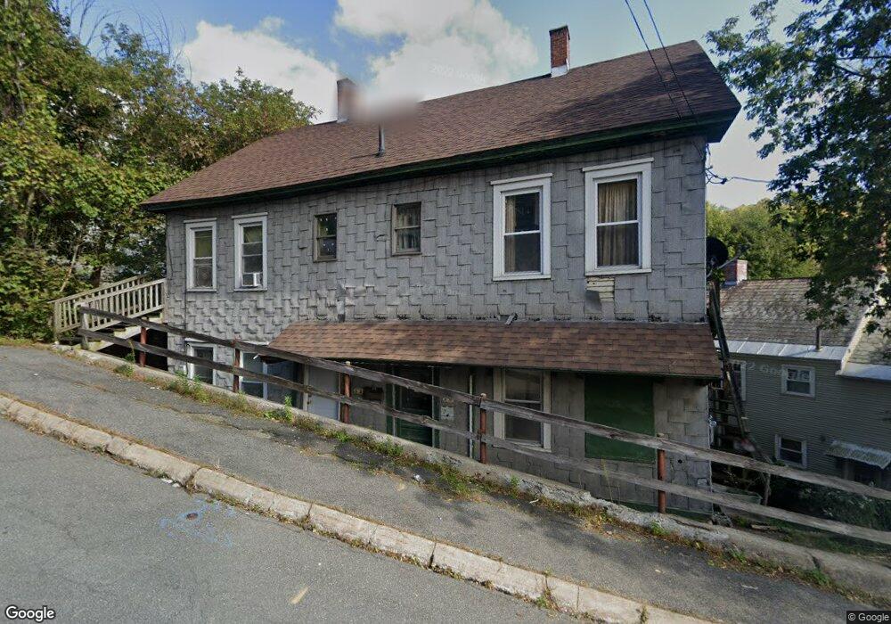
50 Cliff St Unit 52 North Adams, MA 01247
Estimated Value: $181,000 - $279,000
5
Beds
5
Baths
2,240
Sq Ft
$95/Sq Ft
Est. Value
About This Home
This home is located at 50 Cliff St Unit 52, North Adams, MA 01247 and is currently estimated at $213,662, approximately $95 per square foot. 50 Cliff St Unit 52 is a home located in Berkshire County with nearby schools including Colegrove Park Elementary School and Drury High School.
Ownership History
Date
Name
Owned For
Owner Type
Purchase Details
Closed on
Apr 1, 1996
Sold by
South Adams Sb
Bought by
Ransford Charles R and Ransford Dorothy L
Current Estimated Value
Purchase Details
Closed on
Mar 25, 1988
Sold by
Gagliano Mivhele
Bought by
Arigoni John H
Home Financials for this Owner
Home Financials are based on the most recent Mortgage that was taken out on this home.
Original Mortgage
$40,000
Interest Rate
9.82%
Mortgage Type
Purchase Money Mortgage
Create a Home Valuation Report for This Property
The Home Valuation Report is an in-depth analysis detailing your home's value as well as a comparison with similar homes in the area
Home Values in the Area
Average Home Value in this Area
Purchase History
| Date | Buyer | Sale Price | Title Company |
|---|---|---|---|
| Ransford Charles R | $5,000 | -- | |
| Ransford Charles R | $5,000 | -- | |
| Arigoni John H | $43,000 | -- |
Source: Public Records
Mortgage History
| Date | Status | Borrower | Loan Amount |
|---|---|---|---|
| Previous Owner | Arigoni John H | $40,000 |
Source: Public Records
Tax History Compared to Growth
Tax History
| Year | Tax Paid | Tax Assessment Tax Assessment Total Assessment is a certain percentage of the fair market value that is determined by local assessors to be the total taxable value of land and additions on the property. | Land | Improvement |
|---|---|---|---|---|
| 2025 | $911 | $54,500 | $22,700 | $31,800 |
| 2024 | $855 | $49,900 | $20,800 | $29,100 |
| 2023 | $788 | $44,600 | $20,800 | $23,800 |
| 2022 | $826 | $44,600 | $20,800 | $23,800 |
| 2021 | $767 | $41,200 | $19,200 | $22,000 |
| 2020 | $782 | $42,000 | $19,600 | $22,400 |
| 2019 | $814 | $42,600 | $20,000 | $22,600 |
| 2018 | $814 | $44,300 | $21,500 | $22,800 |
| 2017 | $774 | $43,800 | $21,200 | $22,600 |
| 2016 | $762 | $43,800 | $21,200 | $22,600 |
| 2015 | $756 | $45,300 | $21,900 | $23,400 |
Source: Public Records
Map
Nearby Homes
- 41 Prospect St
- 35 Jackson St
- 306 Union St
- 50 Gallup St
- 33 Hudson St
- 23-27 Gallup St
- 38 Wesleyan St
- 159 Eagle St
- 20 Wesleyan St
- 24 Franklin St
- 33-35 Hall St
- 194 E Main St
- 67 Cherry St
- 129-133 Franklin St
- 19 N Church St Unit 11
- 19 N Church St Unit 14
- 19 N Church St Unit 12
- 19 N Church St Unit 7
- 22 Marietta St
- 66-68 Bracewell Ave
- 47 Front St
- 60 Cliff St
- 60 Cliff St Unit A
- 60 Cliff St
- 44 Front St Unit 46
- 57 Front St
- 121 Cliff St
- 66 Cliff St
- 63 Montgomery St
- 57 Montgomery St
- 70 Cliff St Unit 72
- 53 Montgomery St
- 73 Cliff St
- 77 Front St
- 78 Cliff St Unit 80
- 83 Front St
- 86 Cliff St
- 86 Cliff St Unit Cliff Street Apt 1
- 86 Cliff St Unit 2
- 42 Montgomery St