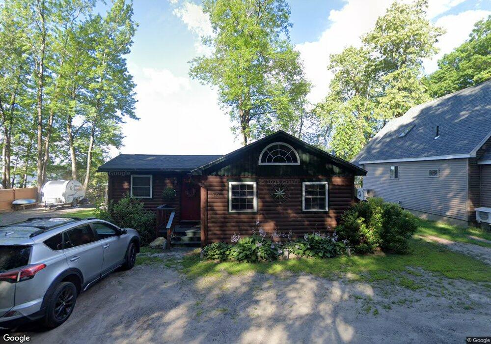
50 F Sanborn Rd Sabattus, ME 04280
Estimated Value: $231,000 - $353,000
1
Bed
1
Bath
729
Sq Ft
$400/Sq Ft
Est. Value
About This Home
This home is located at 50 F Sanborn Rd, Sabattus, ME 04280 and is currently estimated at $291,891, approximately $400 per square foot. 50 F Sanborn Rd is a home with nearby schools including Sabattus Primary School, Libby-Tozier School, and Carrie Ricker School.
Ownership History
Date
Name
Owned For
Owner Type
Purchase Details
Closed on
May 15, 2017
Sold by
Ham Gary E
Bought by
Ham Gary E and Ham Shelley A
Current Estimated Value
Home Financials for this Owner
Home Financials are based on the most recent Mortgage that was taken out on this home.
Original Mortgage
$29,750
Outstanding Balance
$15,169
Interest Rate
4.14%
Mortgage Type
Unknown
Estimated Equity
$276,722
Purchase Details
Closed on
Sep 5, 2007
Sold by
Ham Rufus E and Ham Nancy L
Bought by
Ham Gary E
Home Financials for this Owner
Home Financials are based on the most recent Mortgage that was taken out on this home.
Original Mortgage
$101,500
Outstanding Balance
$63,935
Interest Rate
6.74%
Mortgage Type
FHA
Estimated Equity
$227,956
Create a Home Valuation Report for This Property
The Home Valuation Report is an in-depth analysis detailing your home's value as well as a comparison with similar homes in the area
Home Values in the Area
Average Home Value in this Area
Purchase History
| Date | Buyer | Sale Price | Title Company |
|---|---|---|---|
| Ham Gary E | -- | -- | |
| Ham Gary E | -- | -- |
Source: Public Records
Mortgage History
| Date | Status | Borrower | Loan Amount |
|---|---|---|---|
| Open | Ham Gary E | $29,750 | |
| Open | Ham Gary E | $101,500 |
Source: Public Records
Tax History Compared to Growth
Tax History
| Year | Tax Paid | Tax Assessment Tax Assessment Total Assessment is a certain percentage of the fair market value that is determined by local assessors to be the total taxable value of land and additions on the property. | Land | Improvement |
|---|---|---|---|---|
| 2024 | $3,024 | $158,300 | $114,000 | $44,300 |
| 2023 | $2,889 | $158,300 | $114,000 | $44,300 |
| 2022 | $2,636 | $158,300 | $114,000 | $44,300 |
| 2021 | $2,485 | $158,300 | $114,000 | $44,300 |
| 2020 | $3,142 | $177,000 | $136,800 | $40,200 |
| 2019 | $3,142 | $177,000 | $136,800 | $40,200 |
| 2018 | $3,142 | $177,000 | $136,800 | $40,200 |
| 2017 | $3,142 | $177,000 | $136,800 | $40,200 |
| 2016 | $3,319 | $177,000 | $136,800 | $40,200 |
| 2014 | $3,151 | $177,000 | $136,800 | $40,200 |
| 2013 | $2,894 | $177,000 | $136,800 | $40,200 |
Source: Public Records
Map
Nearby Homes
- 63 Riley Rd
- 88 Barnard Cove Rd
- 49 Hemlock St
- 147 Greene St
- 148 School Rd
- 83 Phelan St
- 22 Woodside Dr
- 71 5th Ave Unit 15
- 18 Terrace View
- 41 Hidden Pond Rd
- 18 Waters Edge Dr
- 325 Middle Rd
- 65 Autumn Ridge
- 26 Fox Run Dr
- 6 Pond Ridge Dr
- 253 Bull Run Rd
- 1 Fox Run Dr
- R01L73 & M8l32 Marsh Rd
- 466 Middle Rd
- 66 S South Hatch Hill Rd
- 52 F Sanborn Rd
- 48 F Sanborn Rd
- 46 F Sanborn Rd
- 92 F Sanborn Rd
- 96 F Sanborn Rd
- 43 F Sanborn Rd
- 98 F Sanborn Rd
- 1 Cottage Loop
- 49 F Sanborn Rd
- 38 F Sanborn Rd
- 12 F Sanborn Rd
- 14 F Sanborn Rd
- 40 F Sanborn Rd
- 36 F Sanborn Rd
- 64 F Sanborn Rd
- 73 F Sanborn Rd
- 0 Railroad Dr
- 32 F Sanborn Rd
- 29 F Sanborn Rd
- 30 F Sanborn Rd