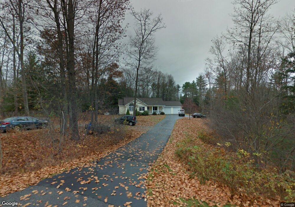
50 Harts Way Gorham, ME 04038
Estimated Value: $497,071 - $577,000
3
Beds
2
Baths
1,386
Sq Ft
$390/Sq Ft
Est. Value
About This Home
This home is located at 50 Harts Way, Gorham, ME 04038 and is currently estimated at $540,768, approximately $390 per square foot. 50 Harts Way is a home with nearby schools including Village Elementary School, Gorham Middle School, and Gorham High School.
Create a Home Valuation Report for This Property
The Home Valuation Report is an in-depth analysis detailing your home's value as well as a comparison with similar homes in the area
Home Values in the Area
Average Home Value in this Area
Tax History Compared to Growth
Tax History
| Year | Tax Paid | Tax Assessment Tax Assessment Total Assessment is a certain percentage of the fair market value that is determined by local assessors to be the total taxable value of land and additions on the property. | Land | Improvement |
|---|---|---|---|---|
| 2024 | $5,674 | $386,000 | $121,900 | $264,100 |
| 2023 | $5,308 | $386,000 | $121,900 | $264,100 |
| 2022 | $4,960 | $386,000 | $121,900 | $264,100 |
| 2021 | $4,549 | $234,500 | $99,900 | $134,600 |
| 2020 | $4,456 | $234,500 | $99,900 | $134,600 |
| 2019 | $4,444 | $234,500 | $99,900 | $134,600 |
| 2018 | $4,268 | $234,500 | $99,900 | $134,600 |
| 2017 | $4,010 | $234,500 | $99,900 | $134,600 |
| 2016 | $3,983 | $234,300 | $99,700 | $134,600 |
| 2015 | $3,819 | $234,300 | $99,700 | $134,600 |
| 2014 | $3,708 | $213,100 | $92,100 | $121,000 |
| 2013 | $3,687 | $213,100 | $92,100 | $121,000 |
Source: Public Records
Map
Nearby Homes
- 197 New Portland Rd
- Lot 3A Day Rd
- Lot 10 Newton Dr
- 11 Dragonfly Ln
- 52 Hogan Cir Unit 1
- TBD Lochwood Dr
- 282 South St
- 49 Lochwood Dr
- 53 Lochwood Dr
- Unit 13 Fairway Commons Dr Unit 13
- 35 Fairway Commons Dr Unit 14
- 20 Fairway Commons Dr Unit 2
- 0 Cobb Rd
- 52 Morrill Ave
- Lot 18 Vista Dr
- 280 Longfellow St Unit 17
- 280 Longfellow St Unit 9
- 212 New Gorham Rd
- 13 Merganser St
- 171 Wickham Way