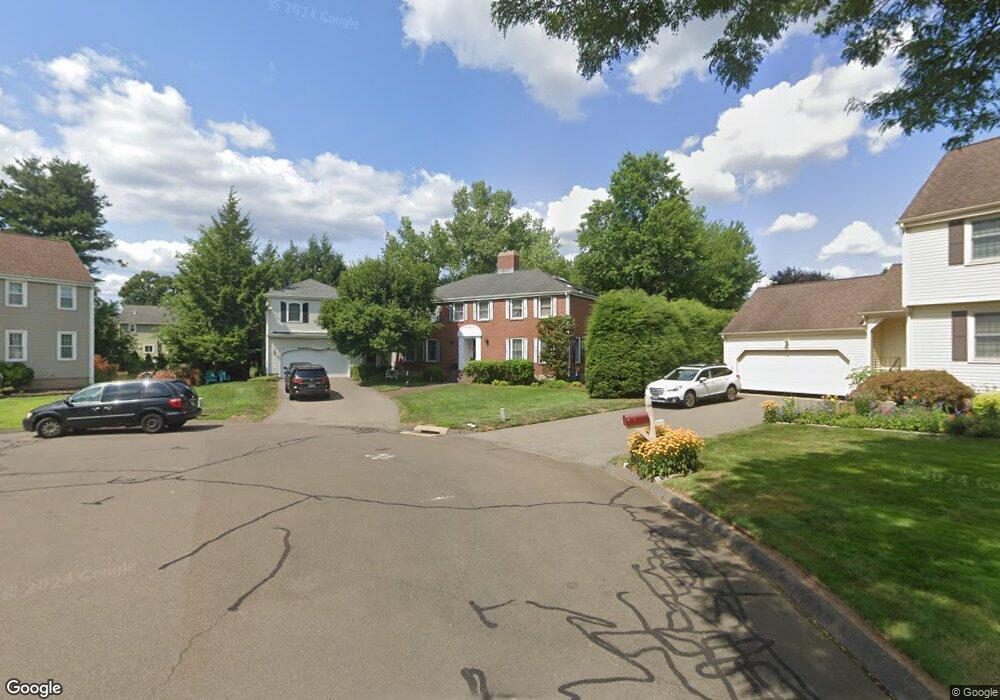
50 Harvest Hill Wethersfield, CT 06109
Estimated Value: $653,000 - $821,653
5
Beds
4
Baths
4,165
Sq Ft
$177/Sq Ft
Est. Value
About This Home
This home is located at 50 Harvest Hill, Wethersfield, CT 06109 and is currently estimated at $737,913, approximately $177 per square foot. 50 Harvest Hill is a home located in Hartford County with nearby schools including Samuel B. Webb Elementary School, Woodcrest Elementary School, and Silas Deane Middle School.
Ownership History
Date
Name
Owned For
Owner Type
Purchase Details
Closed on
Mar 20, 2020
Sold by
Kenton Stanley and Kenton Colleen
Bought by
Stanley & Colleen Kenton Lt
Current Estimated Value
Purchase Details
Closed on
Aug 4, 1998
Sold by
Fauliso Rita M
Bought by
Rei Assoc Llc
Create a Home Valuation Report for This Property
The Home Valuation Report is an in-depth analysis detailing your home's value as well as a comparison with similar homes in the area
Home Values in the Area
Average Home Value in this Area
Purchase History
| Date | Buyer | Sale Price | Title Company |
|---|---|---|---|
| Stanley & Colleen Kenton Lt | -- | None Available | |
| Rei Assoc Llc | $287,500 | -- |
Source: Public Records
Mortgage History
| Date | Status | Borrower | Loan Amount |
|---|---|---|---|
| Previous Owner | Rei Assoc Llc | $400,000 | |
| Previous Owner | Rei Assoc Llc | $300,000 | |
| Previous Owner | Rei Assoc Llc | $134,500 | |
| Previous Owner | Rei Assoc Llc | $91,000 |
Source: Public Records
Tax History Compared to Growth
Tax History
| Year | Tax Paid | Tax Assessment Tax Assessment Total Assessment is a certain percentage of the fair market value that is determined by local assessors to be the total taxable value of land and additions on the property. | Land | Improvement |
|---|---|---|---|---|
| 2025 | $20,158 | $489,030 | $115,010 | $374,020 |
| 2024 | $15,832 | $366,310 | $79,890 | $286,420 |
| 2023 | $15,304 | $366,310 | $79,890 | $286,420 |
| 2022 | $15,048 | $366,310 | $79,890 | $286,420 |
| 2021 | $14,898 | $366,310 | $79,890 | $286,420 |
| 2020 | $14,905 | $366,310 | $79,890 | $286,420 |
| 2019 | $14,923 | $366,310 | $79,890 | $286,420 |
| 2018 | $14,571 | $357,300 | $80,800 | $276,500 |
| 2017 | $14,210 | $357,300 | $80,800 | $276,500 |
| 2016 | $13,770 | $357,300 | $80,800 | $276,500 |
| 2015 | $13,645 | $357,300 | $80,800 | $276,500 |
| 2014 | $13,127 | $357,300 | $80,800 | $276,500 |
Source: Public Records
Map
Nearby Homes
- 6 Barrington Dr Unit B
- 7 Barrington Dr Unit C
- 5 Barrington Dr Unit D
- 15 Grass Bonnet Ln
- 104 Willow St
- 274 Cedarwood Ln
- 0 Collier Rd
- 268 Goff Rd
- 841 Ridge Rd
- 76 Luca Lane Homesite 8
- 876 Ridge Rd
- 61 Luca Ln
- 5 Robeth Ln
- 8 Stella Dr
- 67 Luca (Homesite 6) Ln
- 53 Luca (Homesite 4) Ln
- 92 Timothy St
- 47 Forest Dr
- 6 Vinnie Dr
- 122 Cottonwood Rd Unit 122
- 46 Harvest Hill
- 22 Cider Brook Dr
- 49 Harvest Hill
- 14 Cider Brook Dr
- 28 Cider Brook Dr
- 547 Goff Rd
- 555 Goff Rd
- 38 Harvest Hill
- 43 Harvest Hill
- 563 Goff Rd
- 36 Cider Brook Dr
- 539 Goff Rd
- 37 Harvest Hill
- 569 Goff Rd
- 32 Harvest Hill
- 42 Cider Brook Dr
- 19 Cider Brook Dr
- 25 Cider Brook Dr
- 14 Swing Ln
- 11 Cider Brook Dr