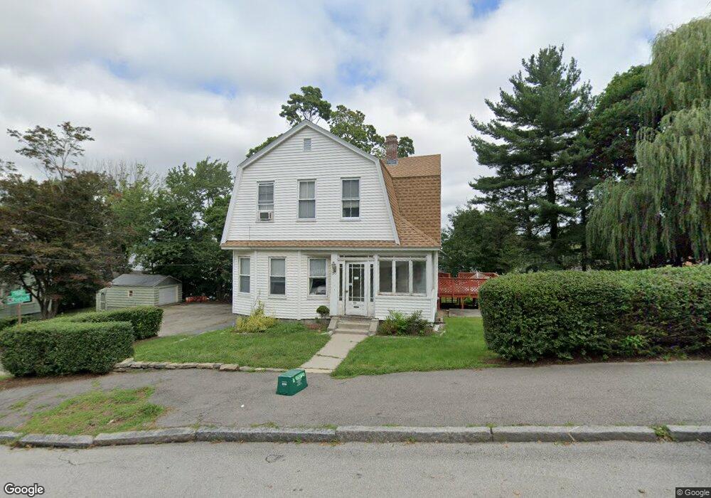
50 Huntington Ave Worcester, MA 01606
Indian Lake East NeighborhoodEstimated Value: $402,592 - $607,000
4
Beds
2
Baths
1,736
Sq Ft
$315/Sq Ft
Est. Value
About This Home
This home is located at 50 Huntington Ave, Worcester, MA 01606 and is currently estimated at $546,148, approximately $314 per square foot. 50 Huntington Ave is a home located in Worcester County with nearby schools including Francis J. McGrath Elementary School, Jacob Hiatt Magnet School, and Chandler Magnet.
Ownership History
Date
Name
Owned For
Owner Type
Purchase Details
Closed on
May 12, 2015
Sold by
Ricciardi Dean F and Ricciardi Brandie L
Bought by
Redrock Trail Llc
Current Estimated Value
Purchase Details
Closed on
Jun 26, 2012
Sold by
Redrock Trail Llc
Bought by
Ricciardi Dean F and Ricciardi Brandie L
Purchase Details
Closed on
Mar 20, 2006
Sold by
Ricciardi Brandie L and Ricciardi Dean F
Bought by
Redrock Trail Llc
Create a Home Valuation Report for This Property
The Home Valuation Report is an in-depth analysis detailing your home's value as well as a comparison with similar homes in the area
Home Values in the Area
Average Home Value in this Area
Purchase History
| Date | Buyer | Sale Price | Title Company |
|---|---|---|---|
| Redrock Trail Llc | -- | -- | |
| Ricciardi Dean F | -- | -- | |
| Redrock Trail Llc | -- | -- |
Source: Public Records
Tax History Compared to Growth
Tax History
| Year | Tax Paid | Tax Assessment Tax Assessment Total Assessment is a certain percentage of the fair market value that is determined by local assessors to be the total taxable value of land and additions on the property. | Land | Improvement |
|---|---|---|---|---|
| 2025 | $6,253 | $474,100 | $118,700 | $355,400 |
| 2024 | $6,144 | $446,800 | $118,700 | $328,100 |
| 2023 | $5,682 | $396,200 | $103,200 | $293,000 |
| 2022 | $5,091 | $334,700 | $82,600 | $252,100 |
| 2021 | $4,127 | $253,500 | $66,100 | $187,400 |
| 2020 | $3,502 | $206,000 | $66,100 | $139,900 |
| 2019 | $3,589 | $199,400 | $59,500 | $139,900 |
| 2018 | $3,667 | $193,900 | $59,500 | $134,400 |
| 2017 | $3,519 | $183,100 | $59,500 | $123,600 |
| 2016 | $3,333 | $161,700 | $43,700 | $118,000 |
| 2015 | $3,245 | $161,700 | $43,700 | $118,000 |
| 2014 | -- | $161,700 | $43,700 | $118,000 |
Source: Public Records
Map
Nearby Homes
- 12 Alexander Rd
- 46 Hastings Ave
- 42 Hastings Ave
- 11 Gifford Dr
- 15 Boardman St
- 89 W Boylston St Unit 4
- 93 W Boylston St
- 87 W Boylston St
- 30 Boardman St
- 44 Boardman St
- 577 Grove St
- 2 Stowell Ave Unit A
- 0 Grove St
- 28 Holden St
- 23 Dryden St
- 10 Hemans St Unit 9
- 3 Shoreham St
- 10 Dryden St Unit 7
- 667 Grove St
- 40 Westwood Dr
- 46 Huntington Ave
- 4 Poplar St
- 52 Huntington Ave
- 1 Alder St
- 44 Huntington Ave
- 49 Huntington Ave
- 5 Alder St
- 47 Huntington Ave
- 55 Hastings Ave
- 39 Hastings Ave
- 53 Huntington Ave
- 1 Poplar St
- 54 Huntington Ave
- 45 Huntington Ave
- 37 Hastings Ave
- 55 Huntington Ave
- 9 Poplar St Unit 1
- 9 Poplar St
- 42 Huntington Ave
- 43 Huntington Ave