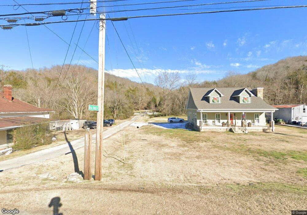
50 Hurricane Point Elmwood, TN 38560
Estimated Value: $465,000 - $624,628
--
Bed
3
Baths
1,371
Sq Ft
$406/Sq Ft
Est. Value
About This Home
This home is located at 50 Hurricane Point, Elmwood, TN 38560 and is currently estimated at $556,657, approximately $406 per square foot. 50 Hurricane Point is a home located in Smith County with nearby schools including Forks River Elementary School, Smith County Middle School, and Smith County High School.
Ownership History
Date
Name
Owned For
Owner Type
Purchase Details
Closed on
Jun 14, 2024
Sold by
Farmer Pamela and Pobst George
Bought by
Alexander Vanbuskirk
Current Estimated Value
Home Financials for this Owner
Home Financials are based on the most recent Mortgage that was taken out on this home.
Original Mortgage
$576,000
Outstanding Balance
$568,747
Interest Rate
7.09%
Mortgage Type
New Conventional
Estimated Equity
-$12,090
Purchase Details
Closed on
Apr 21, 2000
Bought by
Roy Farmer and S George Pobst
Create a Home Valuation Report for This Property
The Home Valuation Report is an in-depth analysis detailing your home's value as well as a comparison with similar homes in the area
Home Values in the Area
Average Home Value in this Area
Purchase History
| Date | Buyer | Sale Price | Title Company |
|---|---|---|---|
| Alexander Vanbuskirk | $640,000 | Magnolia Title | |
| Roy Farmer | $20,800 | -- |
Source: Public Records
Mortgage History
| Date | Status | Borrower | Loan Amount |
|---|---|---|---|
| Open | Alexander Vanbuskirk | $576,000 |
Source: Public Records
Tax History Compared to Growth
Tax History
| Year | Tax Paid | Tax Assessment Tax Assessment Total Assessment is a certain percentage of the fair market value that is determined by local assessors to be the total taxable value of land and additions on the property. | Land | Improvement |
|---|---|---|---|---|
| 2024 | $1,224 | $70,600 | $7,800 | $62,800 |
| 2023 | $1,224 | $70,600 | $0 | $0 |
| 2022 | $1,224 | $70,600 | $7,800 | $62,800 |
| 2021 | $1,235 | $49,800 | $7,800 | $42,000 |
| 2020 | $1,360 | $49,800 | $7,800 | $42,000 |
| 2019 | $1,360 | $49,800 | $7,800 | $42,000 |
| 2018 | $1,066 | $49,800 | $7,800 | $42,000 |
| 2017 | $1,066 | $49,800 | $7,800 | $42,000 |
| 2016 | $1,071 | $46,175 | $7,800 | $38,375 |
| 2015 | $1,071 | $46,175 | $7,800 | $38,375 |
| 2014 | $1,071 | $46,175 | $7,800 | $38,375 |
Source: Public Records
Map
Nearby Homes
- 13 Grisham Hollow Ln
- 14 Cordell Hull Ln
- 0 Sullivans Bend Rd
- 672 Sullivan Bend Rd
- 216 Sullivan Bend Rd
- 0 Maggart Rd
- 560 Sullivan Bend Rd
- 0 Granville Hwy Unit RTC2929183
- 0 Granville Hwy Unit RTC2975023
- 0 Granville Hwy Unit RTC2929181
- 0 Granville Hwy Unit RTC2929179
- 00 Cook Ln
- 0 Eagle Mountain Rd
- 35 Eagle Ridge Ln
- Lot 34 Eagle Ridge Ln
- 34 Eagle Ridge Ln
- 205 Clover St
- 378 Holleman Bend Ln
- 146 Aerie Ln
- 0 Sullivan Bend Rd
- 50 Hurricane Point Ln
- 0 Hurricane Point Ln Lot 7 Unit 225836
- 0 Hurricane Point Ln Unit RTC2664475
- 0 Hurricane Point Ln Unit RTC2664465
- 0 Hurricane Point Ln Unit RTC2627364
- 0 Hurricane Point Ln Unit RTC2620142
- 0 Hurricane Point Ln Unit RTC2620144
- 0 Hurricane Point Ln Unit RTC1869340
- 0 Hurricane Point Ln Unit 1986515
- 000 Bush Hollow Ln
- 52 Hurricane Point Ln
- 22 Hurricane Point
- 2 Hurricane Point Ln
- 2 Hurricane Point
- 85 Bush Hollow Ln
- 432 Maggart Rd
- 25 Cordell Hull Ln
- 425 Maggart Rd
- 421 Maggart Rd
- 29 Cordell Hull Ln