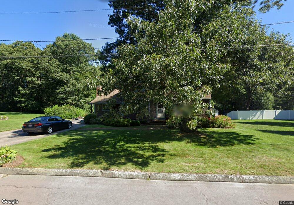
50 King James Way Wrentham, MA 02093
Estimated Value: $488,000 - $708,000
3
Beds
3
Baths
1,856
Sq Ft
$330/Sq Ft
Est. Value
About This Home
This home is located at 50 King James Way, Wrentham, MA 02093 and is currently estimated at $612,927, approximately $330 per square foot. 50 King James Way is a home located in Norfolk County with nearby schools including Delaney Elementary School, Charles E Roderick, and Foxborough Regional Charter School.
Ownership History
Date
Name
Owned For
Owner Type
Purchase Details
Closed on
Aug 26, 1975
Bought by
Edmonds Thomas S and Edmonds Susan R
Current Estimated Value
Create a Home Valuation Report for This Property
The Home Valuation Report is an in-depth analysis detailing your home's value as well as a comparison with similar homes in the area
Purchase History
| Date | Buyer | Sale Price | Title Company |
|---|---|---|---|
| Edmonds Thomas S | -- | -- |
Source: Public Records
Mortgage History
| Date | Status | Borrower | Loan Amount |
|---|---|---|---|
| Open | Edmonds Thomas S | $100,000 | |
| Closed | Edmonds Thomas S | $142,500 | |
| Closed | Edmonds Thomas S | $100,000 |
Source: Public Records
Tax History
| Year | Tax Paid | Tax Assessment Tax Assessment Total Assessment is a certain percentage of the fair market value that is determined by local assessors to be the total taxable value of land and additions on the property. | Land | Improvement |
|---|---|---|---|---|
| 2025 | $6,767 | $583,900 | $289,200 | $294,700 |
| 2024 | $6,508 | $542,300 | $289,200 | $253,100 |
| 2023 | $6,436 | $510,000 | $263,000 | $247,000 |
| 2022 | $6,265 | $458,300 | $245,400 | $212,900 |
| 2021 | $5,961 | $423,700 | $214,200 | $209,500 |
| 2020 | $5,817 | $408,200 | $190,500 | $217,700 |
| 2019 | $5,764 | $408,200 | $190,500 | $217,700 |
| 2018 | $5,524 | $387,900 | $190,600 | $197,300 |
| 2017 | $5,188 | $364,100 | $186,900 | $177,200 |
| 2016 | $4,981 | $348,800 | $181,500 | $167,300 |
| 2015 | $4,848 | $323,600 | $174,500 | $149,100 |
| 2014 | $4,659 | $304,300 | $153,900 | $150,400 |
Source: Public Records
Map
Nearby Homes
- 15 Tilting Rock Rd
- 10 Nature View Dr
- 15 Nature View Dr
- 282 Thurston St
- 576 Dedham St
- 1 Weber Farm Rd Unit 1
- 4 Weber Farm Rd Unit 4
- 6 Weber Farm Rd Unit 6
- 11 Weber Farm Rd Unit 11
- 8 Weber Farm Rd Unit 8
- 25 Foxboro Rd
- 30 Weber Farm Rd Unit 30
- 483 Thurston St
- 131 Washington St Unit 50
- 9 Sharon Ave
- 135 Creek St Unit 2
- 11 Sharon Ave
- 3 Earle Stewart Ln
- 0 W Birch Rd
- 2 Earle Stewart Ln
- 60 King James Way
- 65 King James Way
- 55 King James Way
- 40 King James Way
- 70 King James Way
- 45 King James Way
- 25 Alderbrook Ct
- 30 King James Way
- 35 King James Way
- 45 Alderbrook Ct
- 35 Alderbrook Ct
- 75 King James Way
- 80 King James Way
- 20 King James Way
- 15 Alderbrook Ct
- 85 King James Way
- 55 Alderbrook Ct
- 20 Alderbrook Ct
- 40 Trafalgar Square
- 431 East St
Your Personal Tour Guide
Ask me questions while you tour the home.