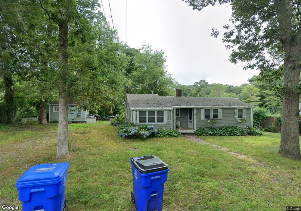
50 King Phillip Rd Pocasset, MA 02559
Pocasset NeighborhoodEstimated Value: $259,000 - $537,000
3
Beds
1
Bath
650
Sq Ft
$658/Sq Ft
Est. Value
About This Home
This home is located at 50 King Phillip Rd, Pocasset, MA 02559 and is currently estimated at $427,786, approximately $658 per square foot. 50 King Phillip Rd is a home located in Barnstable County with nearby schools including Bourne High School, Cadence Academy Preschool - Bourne, and St Margaret Regional School.
Ownership History
Date
Name
Owned For
Owner Type
Purchase Details
Closed on
Jul 28, 2015
Sold by
Mcgowan Victor E and Mcgowan Anita M
Bought by
Mcgowan Ft and Gilbert
Current Estimated Value
Purchase Details
Closed on
Jun 2, 1997
Sold by
Romero William R and Romero Elaine S
Bought by
Mcgowan Victor E and Mcgowan Anita M
Create a Home Valuation Report for This Property
The Home Valuation Report is an in-depth analysis detailing your home's value as well as a comparison with similar homes in the area
Home Values in the Area
Average Home Value in this Area
Purchase History
| Date | Buyer | Sale Price | Title Company |
|---|---|---|---|
| Mcgowan Ft | -- | -- | |
| Mcgowan Ft | -- | -- | |
| Mcgowan Victor E | $50,000 | -- | |
| Mcgowan Victor E | $50,000 | -- |
Source: Public Records
Tax History
| Year | Tax Paid | Tax Assessment Tax Assessment Total Assessment is a certain percentage of the fair market value that is determined by local assessors to be the total taxable value of land and additions on the property. | Land | Improvement |
|---|---|---|---|---|
| 2025 | $2,779 | $355,800 | $296,100 | $59,700 |
| 2024 | $2,717 | $338,800 | $282,000 | $56,800 |
| 2023 | $2,641 | $299,800 | $249,500 | $50,300 |
| 2022 | $2,422 | $240,000 | $200,100 | $39,900 |
| 2021 | $2,352 | $218,400 | $182,100 | $36,300 |
| 2020 | $2,307 | $214,800 | $180,400 | $34,400 |
| 2019 | $2,238 | $212,900 | $180,400 | $32,500 |
| 2018 | $2,136 | $202,700 | $171,800 | $30,900 |
| 2017 | $2,068 | $200,800 | $170,200 | $30,600 |
| 2016 | $1,972 | $194,100 | $170,200 | $23,900 |
| 2015 | -- | $194,100 | $170,200 | $23,900 |
Source: Public Records
Map
Nearby Homes
- 14 Navajo Rd
- 254 Barlows Landing Rd
- 16 Michael Rd
- 174 Barlows Landing Rd
- 566 Shore Rd
- 551 Shore Rd
- 3 1st St
- 3 4th Ave
- 7 4th Ave
- 21 Club House Dr
- 23 Club House Dr
- 265 Wings Neck Rd
- 10 Howard Ave
- 1 Hawthorne Ct Unit C
- 1090 Shore Rd Unit 7
- 47 Cliff Rd
- 48 Red Brook Harbor Rd
- 1094 County Rd
- 77 Roundhouse Rd Unit 77
- 119 Valley Bars Rd
- 46 King Phillip Rd
- 42 King Phillip Rd
- 58 King Phillip Rd
- 41 King Phillip Rd
- 3 Wabenaki Rd
- 49 King Phillip Rd
- 9 Wabenaki Rd
- 62 King Phillip Rd
- 770 Shore Rd
- 168 Tahanto Rd
- 33 King Phillip Rd
- 162 Tahanto Rd
- 66 King Phillip Rd
- 14 Pocahontas Rd
- 760 Shore Rd
- 774 Shore Rd
- 780 Shore Rd
- 29 King Phillip Rd
- 53 King Phillip Rd
- 10 Wabenaki Rd
Your Personal Tour Guide
Ask me questions while you tour the home.