50 Mill Pond Rd Wharton, NJ 07885
Estimated Value: $445,000 - $631,068
--
Bed
--
Bath
2,503
Sq Ft
$217/Sq Ft
Est. Value
About This Home
This home is located at 50 Mill Pond Rd, Wharton, NJ 07885 and is currently estimated at $544,017, approximately $217 per square foot. 50 Mill Pond Rd is a home located in Morris County with nearby schools including Catherine A. Dwyer Elementary School, Copeland Middle School, and Divine Mercy Academy.
Ownership History
Date
Name
Owned For
Owner Type
Purchase Details
Closed on
Jun 7, 1994
Sold by
Reilly Patricia
Bought by
Koroly John and Koroly Teresa
Current Estimated Value
Home Financials for this Owner
Home Financials are based on the most recent Mortgage that was taken out on this home.
Original Mortgage
$115,000
Interest Rate
8.29%
Create a Home Valuation Report for This Property
The Home Valuation Report is an in-depth analysis detailing your home's value as well as a comparison with similar homes in the area
Home Values in the Area
Average Home Value in this Area
Purchase History
| Date | Buyer | Sale Price | Title Company |
|---|---|---|---|
| Koroly John | $160,000 | -- |
Source: Public Records
Mortgage History
| Date | Status | Borrower | Loan Amount |
|---|---|---|---|
| Closed | Koroly John | $115,000 |
Source: Public Records
Tax History Compared to Growth
Tax History
| Year | Tax Paid | Tax Assessment Tax Assessment Total Assessment is a certain percentage of the fair market value that is determined by local assessors to be the total taxable value of land and additions on the property. | Land | Improvement |
|---|---|---|---|---|
| 2025 | $11,012 | $464,500 | $196,300 | $268,200 |
| 2024 | $10,609 | $429,500 | $176,100 | $253,400 |
| 2023 | $10,609 | $404,300 | $164,500 | $239,800 |
| 2022 | $10,325 | $378,700 | $150,000 | $228,700 |
| 2021 | $10,325 | $363,800 | $145,000 | $218,800 |
| 2020 | $10,122 | $356,300 | $142,500 | $213,800 |
| 2019 | $9,917 | $347,600 | $137,500 | $210,100 |
| 2018 | $9,712 | $335,000 | $133,500 | $201,500 |
| 2017 | $9,597 | $307,400 | $122,000 | $185,400 |
| 2016 | $9,474 | $307,400 | $122,000 | $185,400 |
| 2015 | $9,406 | $307,400 | $122,000 | $185,400 |
| 2014 | $8,988 | $299,300 | $122,000 | $177,300 |
Source: Public Records
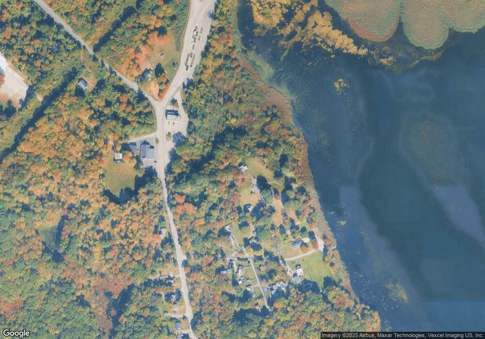
Map
Nearby Homes
- 7311 Polk Dr
- 5307 Veterans Dr
- 7 Algonquin Ave
- 19 Algonquin Ave
- 48 Algonquin Ave
- 15 Rock Hollow Rd
- 1202 Hale Dr
- 1129 Hamilton Dr
- 1213 Hale Dr
- 23 W Lake Shore Dr
- 12 Apache Trail
- 32 Teabo Rd
- 2100 Johnson Dr Unit 1
- 1110 Johnson Dr
- 1109 Johnson Dr
- 2210 Johnson Dr
- 1202 Franklin Ln Unit 202
- 202 Cleveland Ln
- 204 Cleveland Ln
- 120 Cayuga Ave
- 48 Mill Pond Rd
- 14 Everment Rd
- 12 Everment Rd
- 16 Everment Rd
- 22 Everment Rd
- 13 Everment Rd
- 9 Everment Rd
- 17 Everment Rd
- 588 Mount Hope Rd
- 23 Everment Rd
- 3 Everment Place
- 4 Everment Place
- 580 Mount Hope Rd
- 5 Everment Place
- 574 Mount Hope Rd
- 566 Mount Hope Rd
- 562 Mount Hope Rd
- 553 Mount Hope Rd
- 549 Mount Hope Rd
- 556 Mount Hope Rd