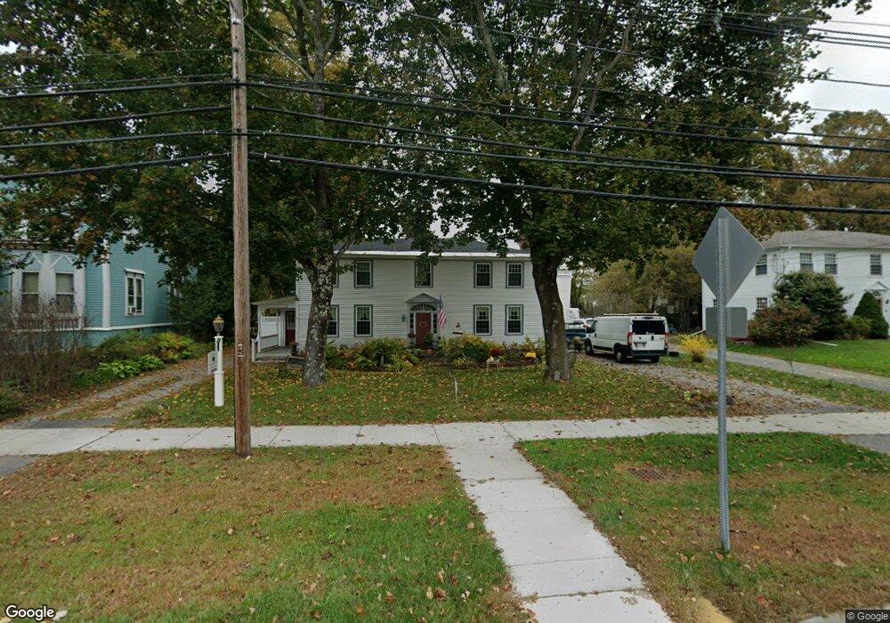
50 N Main St West Brookfield, MA 01585
Estimated Value: $307,000 - $467,000
6
Beds
3
Baths
2,677
Sq Ft
$156/Sq Ft
Est. Value
About This Home
This home is located at 50 N Main St, West Brookfield, MA 01585 and is currently estimated at $417,507, approximately $155 per square foot. 50 N Main St is a home located in Worcester County with nearby schools including Quaboag Regional High School.
Ownership History
Date
Name
Owned For
Owner Type
Purchase Details
Closed on
Sep 24, 1997
Sold by
Rock Roger E
Bought by
Rock Alan J and Rock Pamela
Current Estimated Value
Home Financials for this Owner
Home Financials are based on the most recent Mortgage that was taken out on this home.
Original Mortgage
$60,000
Interest Rate
7.47%
Mortgage Type
Purchase Money Mortgage
Create a Home Valuation Report for This Property
The Home Valuation Report is an in-depth analysis detailing your home's value as well as a comparison with similar homes in the area
Home Values in the Area
Average Home Value in this Area
Purchase History
| Date | Buyer | Sale Price | Title Company |
|---|---|---|---|
| Rock Alan J | $75,000 | -- |
Source: Public Records
Mortgage History
| Date | Status | Borrower | Loan Amount |
|---|---|---|---|
| Closed | Rock Alan J | $91,000 | |
| Closed | Rock Alan J | $69,500 | |
| Closed | Rock Alan J | $38,500 | |
| Closed | Rock Alan J | $60,000 |
Source: Public Records
Tax History Compared to Growth
Tax History
| Year | Tax Paid | Tax Assessment Tax Assessment Total Assessment is a certain percentage of the fair market value that is determined by local assessors to be the total taxable value of land and additions on the property. | Land | Improvement |
|---|---|---|---|---|
| 2025 | $4,547 | $421,800 | $51,800 | $370,000 |
| 2024 | $4,737 | $421,800 | $51,800 | $370,000 |
| 2023 | $4,598 | $383,500 | $47,000 | $336,500 |
| 2022 | $4,351 | $328,900 | $44,800 | $284,100 |
| 2021 | $4,212 | $300,200 | $44,800 | $255,400 |
| 2020 | $3,607 | $245,400 | $44,800 | $200,600 |
| 2019 | $3,845 | $245,400 | $44,800 | $200,600 |
| 2018 | $3,944 | $245,400 | $44,800 | $200,600 |
| 2017 | $3,830 | $238,500 | $45,300 | $193,200 |
| 2016 | $3,699 | $238,500 | $45,300 | $193,200 |
| 2015 | $3,573 | $238,500 | $45,300 | $193,200 |
Source: Public Records
Map
Nearby Homes
- 28 N Main St
- 67 E Main St
- 7 Church Street Extension
- 4 E Main St
- 37 Central St
- 71 W Main St
- 9 Birch Hill Rd
- 91 W Main St
- 234 Wickaboag
- 25 Highland Trail
- 91 Lake Shore Dr
- 25 Lake Shore Dr
- 19 Pine Trail
- 22 Beach Dr
- 16 Hadley Path
- 12 Hadley Path
- 3 Old Ware Rd
- 920 Old West Brookfield Rd
- 940 Old West Brookfield Rd
- 18-20 Old w Brookfield Rd
- 54 N Main St
- 7 New Braintree Rd
- 56 N Main St
- 11 New Braintree Rd
- 11 New Braintree Rd
- 19 School St
- 19 School St Unit 1
- 15 New Braintree Rd
- 15 New Braintree Rd Unit 2
- 15 New Braintree Rd Unit 1
- 2 New Braintree Rd
- 60 N Main St
- 12 New Braintree Rd
- 15 Church St
- 14 New Braintree Rd
- 15 School St
- 10 Church St
- 61 N Main St
- 17 New Braintree Rd
- 64 N Main St