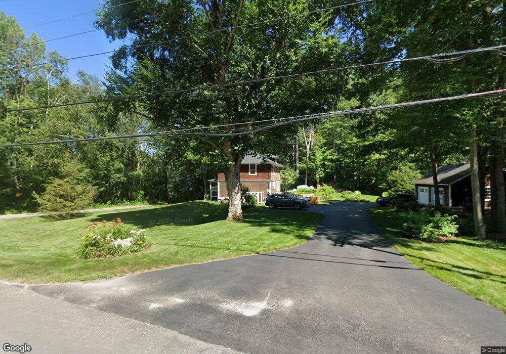
50 Nh Route 113 Holderness, NH 03245
Estimated Value: $869,000 - $1,679,840
3
Beds
2
Baths
1,680
Sq Ft
$795/Sq Ft
Est. Value
About This Home
This home is located at 50 Nh Route 113, Holderness, NH 03245 and is currently estimated at $1,335,960, approximately $795 per square foot. 50 Nh Route 113 is a home with nearby schools including Holderness Central School and Plymouth Regional High School.
Ownership History
Date
Name
Owned For
Owner Type
Purchase Details
Closed on
Dec 21, 2011
Sold by
Armstrong Timothy G and Armstrong Christina A
Bought by
Lamphier Jonathan B and Lamphier Lynne
Current Estimated Value
Home Financials for this Owner
Home Financials are based on the most recent Mortgage that was taken out on this home.
Original Mortgage
$300,000
Outstanding Balance
$205,023
Interest Rate
3.99%
Mortgage Type
Purchase Money Mortgage
Estimated Equity
$1,130,937
Create a Home Valuation Report for This Property
The Home Valuation Report is an in-depth analysis detailing your home's value as well as a comparison with similar homes in the area
Home Values in the Area
Average Home Value in this Area
Purchase History
| Date | Buyer | Sale Price | Title Company |
|---|---|---|---|
| Lamphier Jonathan B | $450,000 | -- |
Source: Public Records
Mortgage History
| Date | Status | Borrower | Loan Amount |
|---|---|---|---|
| Open | Lamphier Jonathan B | $300,000 |
Source: Public Records
Tax History Compared to Growth
Tax History
| Year | Tax Paid | Tax Assessment Tax Assessment Total Assessment is a certain percentage of the fair market value that is determined by local assessors to be the total taxable value of land and additions on the property. | Land | Improvement |
|---|---|---|---|---|
| 2024 | $11,184 | $1,293,000 | $950,800 | $342,200 |
| 2023 | $11,107 | $1,293,000 | $950,800 | $342,200 |
| 2022 | $11,217 | $999,700 | $738,500 | $261,200 |
| 2021 | $11,231 | $993,000 | $738,500 | $254,500 |
| 2020 | $7,039 | $518,300 | $325,300 | $193,000 |
| 2019 | $6,826 | $518,300 | $325,300 | $193,000 |
| 2018 | $6,671 | $518,300 | $325,300 | $193,000 |
| 2017 | $6,146 | $433,460 | $270,260 | $163,200 |
| 2016 | $6,146 | $433,460 | $270,260 | $163,200 |
| 2015 | $6,146 | $433,460 | $270,260 | $163,200 |
| 2014 | $5,988 | $416,410 | $259,010 | $157,400 |
| 2011 | $8,221 | $624,710 | $468,010 | $156,700 |
Source: Public Records
Map
Nearby Homes
- 38 Range Rd
- 73 Maple Ridge Rd
- 206 High Country Way Unit (aka Unit 100)
- 265 High Country Way
- 7 Hollows Rd
- 47 Overlook Rd
- 14 Overlook Rd
- 37 Old Ledge Rd
- 384 New Hampshire 113
- 6 Buttonwood Rd
- 28 Potato Island
- 20 Circle Dr Unit 41
- 88 Perch Pond Rd
- 10 Rocky Top Ln
- 283 River St
- 347 New Hampshire Route 175
- 388 Perch Pond Rd
- 12 Peaked Hill Rd
- 00 Hicks Hill Rd
- 254 Seven Pines Rd
- 50 New Hampshire 113
- Lot 7 Route 113
- 95 Nh Route 113
- 12 Marden Pt Rd
- 60 Nh Route 113
- 40 Nh Route 113
- 12 Marden Point Rd
- 20 Marden Point Rd
- Lot 51 D Beede Flats Rd
- 17 Marden Pt Rd
- 17 Marden Point Rd
- 66 Nh Route 113
- 22 Marden Point Rd
- 21 Marden Point Rd
- 32 Nh Route 113
- 72 Nh Route 113
- 28 Nh Route 113
- 16 Shepard Hill Rd
- 35 Marden Point Rd
- 69 Nh Route 113