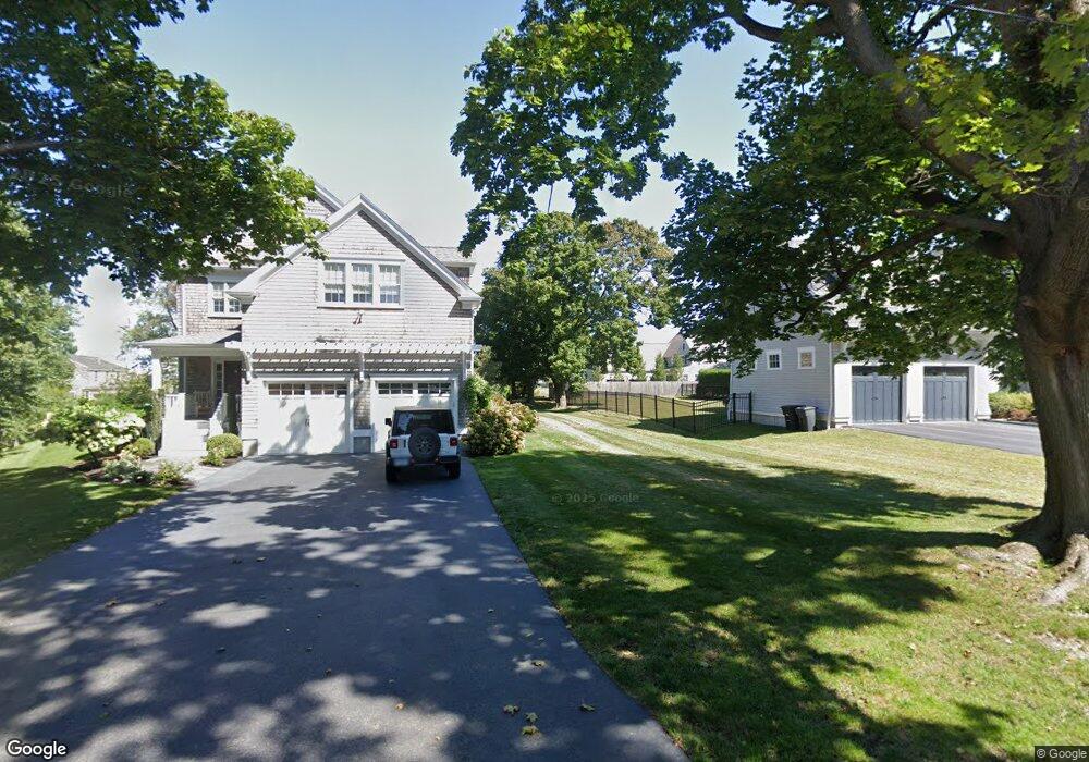
50 Ocean Ave Scituate, MA 02066
Estimated Value: $854,000 - $1,146,000
2
Beds
1
Bath
784
Sq Ft
$1,225/Sq Ft
Est. Value
About This Home
This home is located at 50 Ocean Ave, Scituate, MA 02066 and is currently estimated at $960,776, approximately $1,225 per square foot. 50 Ocean Ave is a home with nearby schools including Wampatuck Elementary School, Lester J. Gates Middle School, and Scituate High School.
Ownership History
Date
Name
Owned For
Owner Type
Purchase Details
Closed on
Jul 29, 2015
Sold by
Segal Eric C and Lampman Nancy H
Bought by
Eric C Segel T C and Eric Segel
Current Estimated Value
Purchase Details
Closed on
Jan 28, 2005
Sold by
Segel Nancy H
Bought by
Segel Eric
Purchase Details
Closed on
May 6, 1994
Sold by
Glavin James B and Oconnor Patricia
Bought by
Segal Nancy H
Create a Home Valuation Report for This Property
The Home Valuation Report is an in-depth analysis detailing your home's value as well as a comparison with similar homes in the area
Home Values in the Area
Average Home Value in this Area
Purchase History
| Date | Buyer | Sale Price | Title Company |
|---|---|---|---|
| Eric C Segel T C | -- | -- | |
| Eric C Segel T C | -- | -- | |
| Segel Eric | -- | -- | |
| Segel Eric | -- | -- | |
| Segal Nancy H | $200,000 | -- |
Source: Public Records
Mortgage History
| Date | Status | Borrower | Loan Amount |
|---|---|---|---|
| Previous Owner | Segal Nancy H | $60,000 |
Source: Public Records
Tax History Compared to Growth
Tax History
| Year | Tax Paid | Tax Assessment Tax Assessment Total Assessment is a certain percentage of the fair market value that is determined by local assessors to be the total taxable value of land and additions on the property. | Land | Improvement |
|---|---|---|---|---|
| 2025 | $8,271 | $827,900 | $710,500 | $117,400 |
| 2024 | $7,342 | $708,700 | $593,600 | $115,100 |
| 2023 | $5,833 | $559,000 | $507,900 | $51,100 |
| 2022 | $5,833 | $462,200 | $414,300 | $47,900 |
| 2021 | $5,823 | $436,800 | $394,600 | $42,200 |
| 2020 | $5,855 | $433,700 | $391,200 | $42,500 |
| 2019 | $6,331 | $460,800 | $418,400 | $42,400 |
| 2018 | $7,156 | $513,000 | $467,500 | $45,500 |
| 2017 | $7,228 | $513,000 | $467,500 | $45,500 |
| 2016 | $6,550 | $463,200 | $417,700 | $45,500 |
| 2015 | $6,068 | $463,200 | $417,700 | $45,500 |
Source: Public Records
Map
Nearby Homes
- 10 Baileys Causeway
- 27 Cherry Ln
- 6 Tilden Ave
- 29 Country Club Cir
- 24 Wood Island Rd
- 7 Border St
- 100 Howard Gleason Rd
- 16 3 Ring Rd
- 70 Black Horse Ln
- 104 Howard Gleason Rd
- 26 Mordecai Lincoln Rd
- 68 Black Horse Ln
- 112 Hollett St
- 98 Black Horse Ln
- 124 Elm St Unit 202
- 124 Elm St Unit 308
- 212 S Main St
- 87 Elm St Unit 215
- 21-23 Elm Ct
- 309 S Main St